
| OS Route Map → | GPX Route file → |
Date: 25 May 2017
Start: Pen-y-pass
Finish: Beddgelert. A few parking spaces in the village, some parking on roads on the outskirts (the previously free car park is now pay-and-display).
Maps: Explorer OL17 Snowdon or Harvey Superscale Snowdonia.
Bus information and Journey Planner: Traveline Cymru
| Day 1 | Craig Fach, Llyn Llydaw & Y Lliwedd ridge | 2.8miles / 1793 feet (4.5km / 547m) |
| Day 2 | Gallt y Wenallt & the Craflwyn Hafod y Llan walk | 6.5miles / 927 feet (10.5km / 283m) |
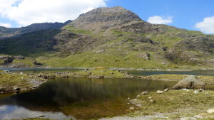
A leisurely 2-day traversal of the north-western side of Nantgwynant, visiting Craig Fach, Llyn Llydaw and the Hafod y Llan walk above Craflwyn Hall, some new pockets of Wales for us to explore and giving us a superb pitch on the eastern ridge of Y Lliwedd.
At 609m, Craig Fach is in the elite group of Dewey hills that are also Sims, one of three that we had yet to claim. It is also a fine example of a hill that we probably wouldn't otherwise have explored due to its very close proximity to the most popular honeypot in Wales, but turns out to be a secluded and delightful little gem.
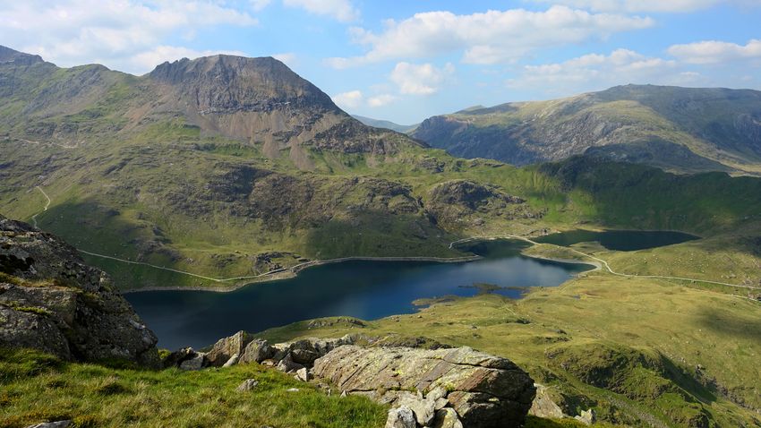
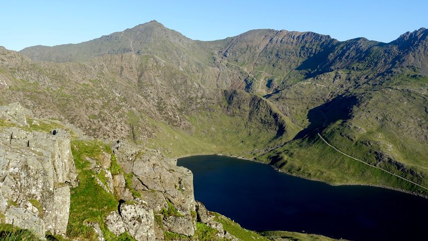
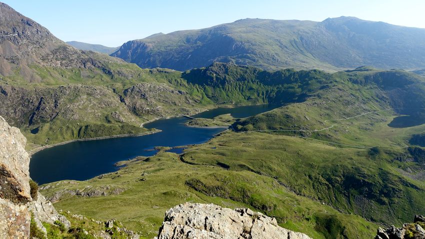
None of our previous trips to the area have included the lakes enclosed by the Snowdon horseshoe, this was an opportunity to visit one of them, Llyn Llydaw, and view the mountain architecture from a new perspective.

The Hafod y Llan walk, running SW from Cwm Llan near the foot of the Watkin Path via Bylchau Terfyn to Craflwyn Hall, is described on the National Trust website and is still (approximately) marked as a permissive path on our 2015 mapping, though almost all the route is in Access land. We have had our eyes on this route for some time, it was clearly created with much effort and resources in the form of waymarking and sections of pitched path, yet its popularity is far from clear after our highly enjoyable discovery on a clear sunny day: the whole area was deserted.
In Beddgelert we took the 09:20 S97 bus to Pen-y-pass, an 18-minute journey to the bus terminus in the heaving car park where the 'Full' notice had long since been displayed at the entrance. Taking a bite to eat near the start of the Miners' track, we tried to recollect our memories of 21 years ago when we were last here, the sheer number of walkers being quite a culture shock after all this time.
Spotting a good pause in the relatively small number of people heading up this track, we set off and kept our eyes peeled for the little used but distinct grassy path branching off to ascend towards Carreg Gwalch, the first minor summit. The topology and character of this minor ridge are not easy to visualise from the map, but crossing a stile and gaining the top we began to realize what we had discovered as the views suddenly opened out: an empty switchback arc of minor tops culminating in Craig Fach itself. It was hard to believe that around 300m away there were crowds of people crocodiling up towards Bwlch y Moch, but here was a little ridge with its own appealing character, silent and deserted in excellent mountain scenery.
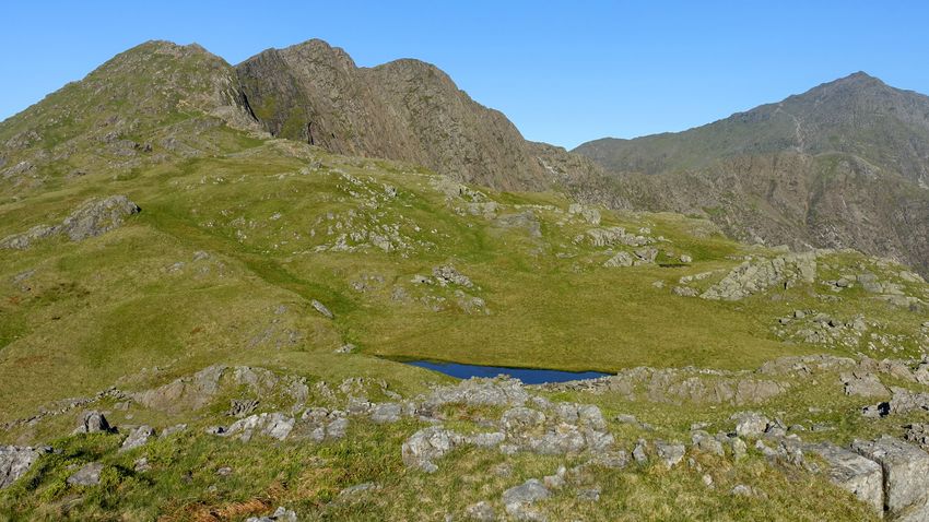
There is a grand view of Llyn Llydaw from the ridge and a fine overall prospect of the east ridge of Crib Goch from Craig Fach summit atop a sloping rock outcrop.
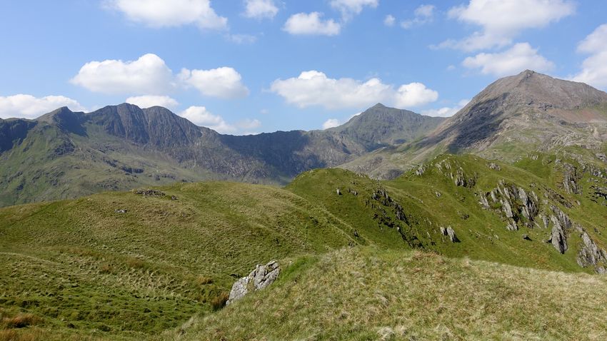
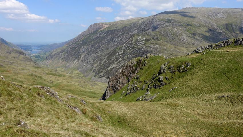
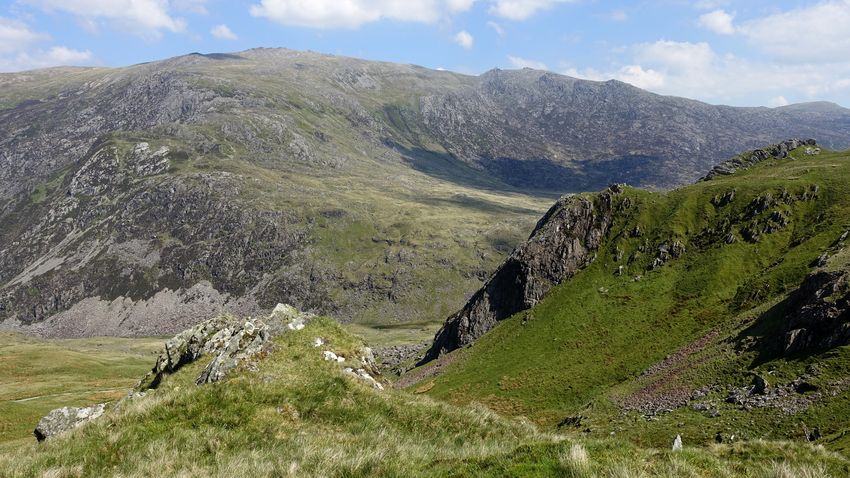
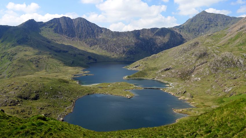
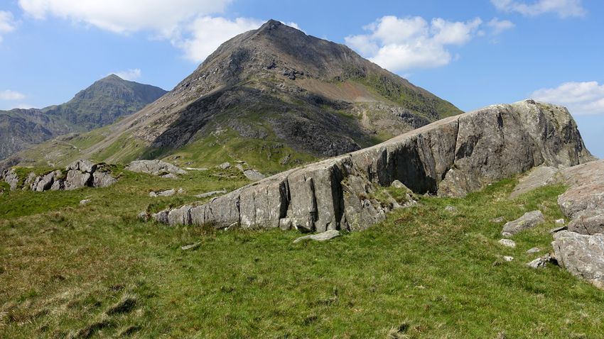
A short descent eastwards brought us to Bwlch y Moch, the bifurcation in the busy human motorway that separates the Pyg Track walkers from the Crib Goch summiteers. We followed the Pyg Track a short way and dropped down left to descend back eastwards on a grassy and initially rather marshy line to avoid the very steep crags directly below. Once clear of the crags, the descent curves southwards easily to the shore of Llyn Llydaw and the causeway.
The shoreline section of the Miners' Track was extremely busy with family outings, picnics and large organized groups and their people shouting across the lake to their stragglers, an incongruously shrill experience in this setting but the scenery is superb. We quickly left all this behind as we branched off along the deserted shoreline track at Cwm Dyli to the footbridge leading to the Y Lliwedd path, most often used as a descent line from the shortened Snowdon Horseshoe route. Here we could take some time to grab a snack in peace and absorb this new vantage point for familiar mountains.
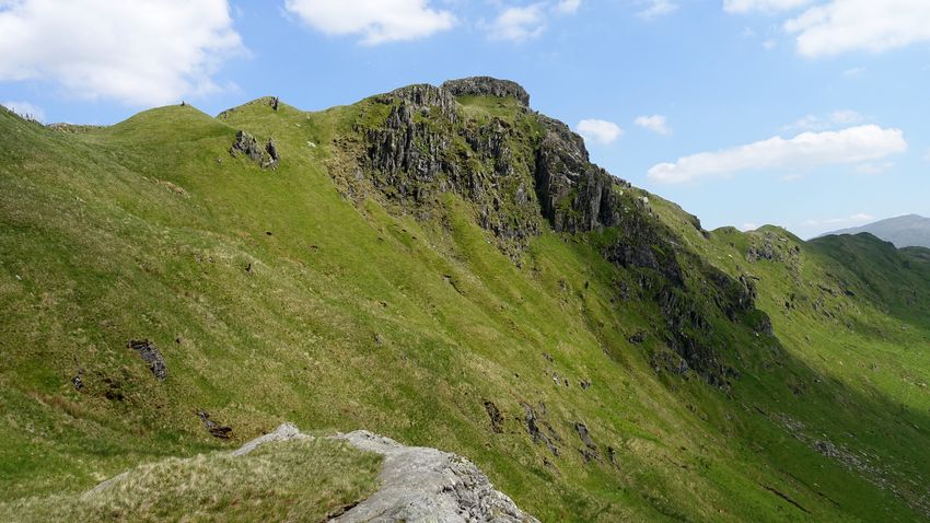
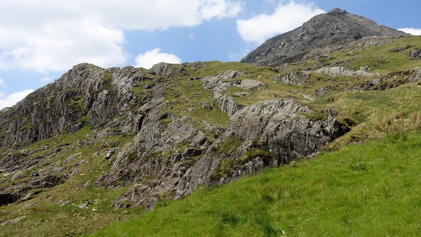
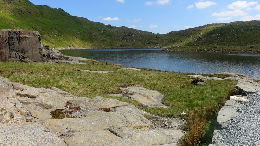
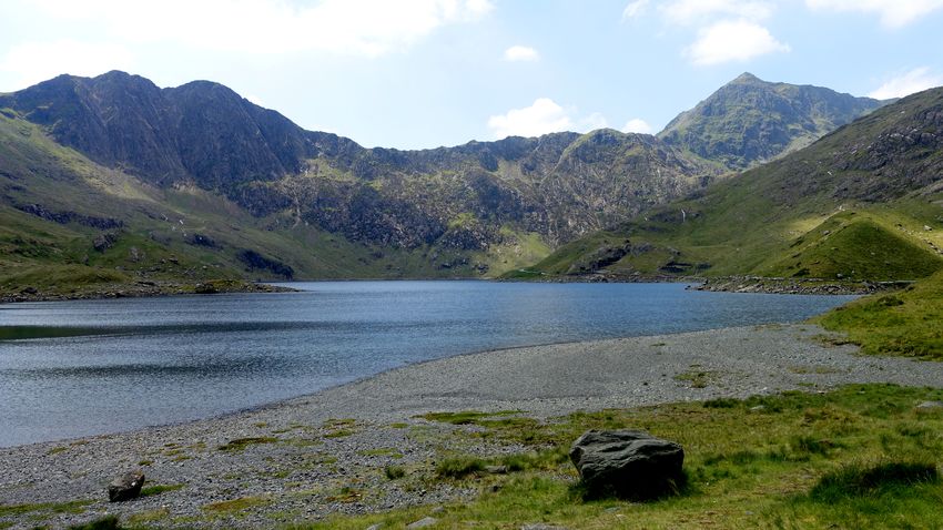
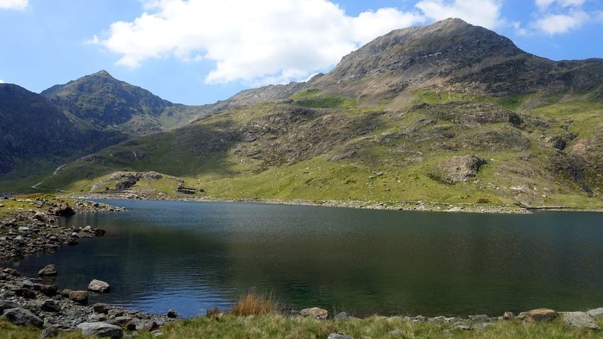
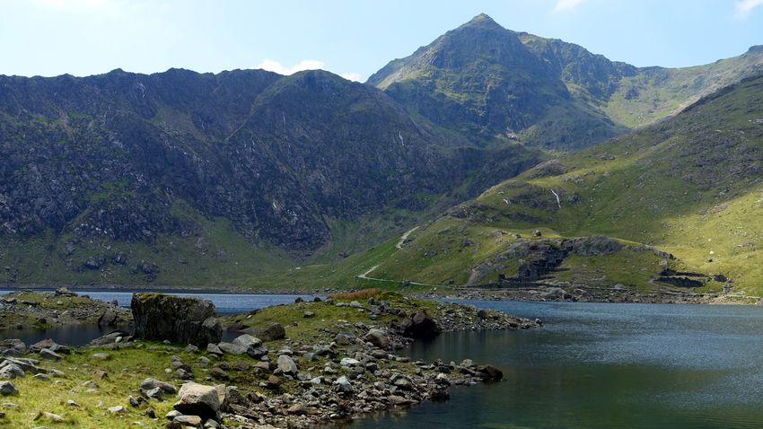
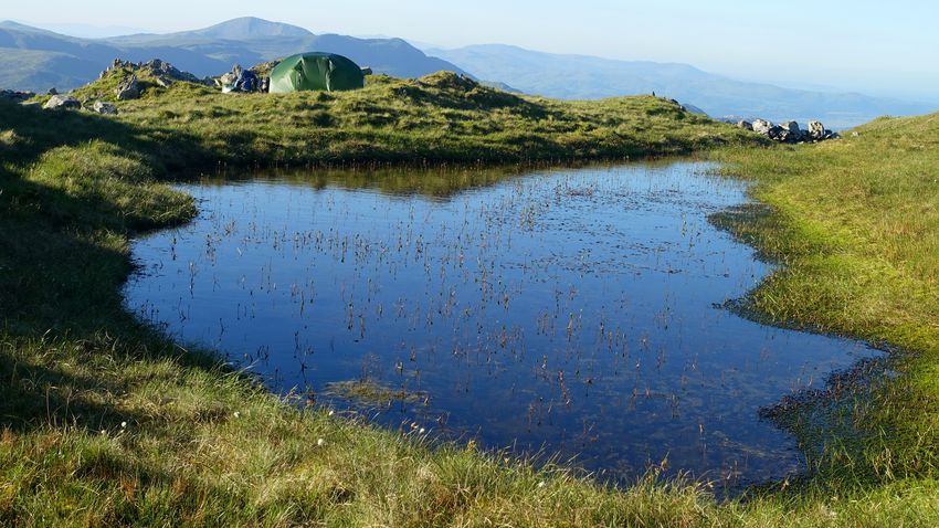
The climb up the Y Lliwedd path was an enjoyable but slow affair in the afternoon heat, and on gaining the ridge we turned eastwards on the little walked line heading for Gallt y Wenallt. We made our pitch by a pool below the 694m minor top, an excellent spot to stroll around soaking in the mountain vistas.
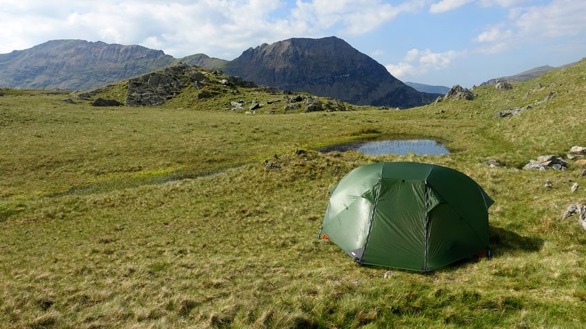
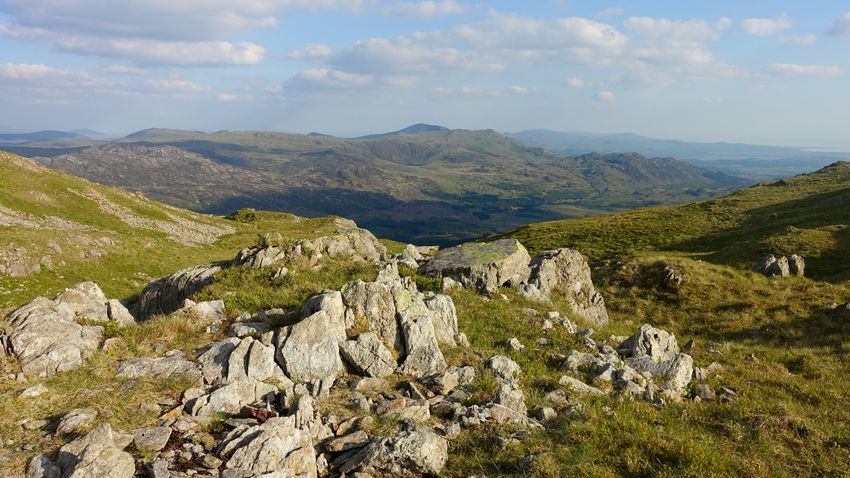
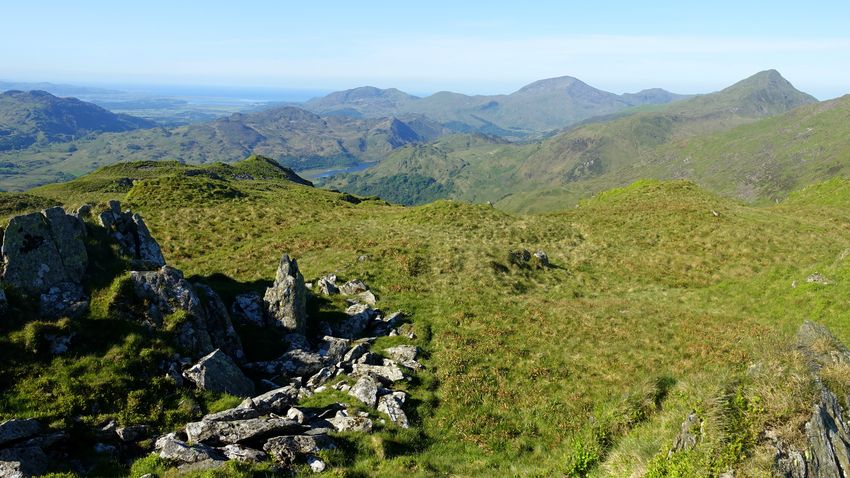
A crystal clear dawn bathed the landscape in a warm glow as we enjoyed a final tour of our pitch area and struck camp, definitely one of those superlative backpacking experiences. The undulating walk over the minor tops of the ridge was a delight in the cool of the morning and a short ascent gained the final top of Gallt y Wenallt giving views to the Hebog ridge and Yr Aran.
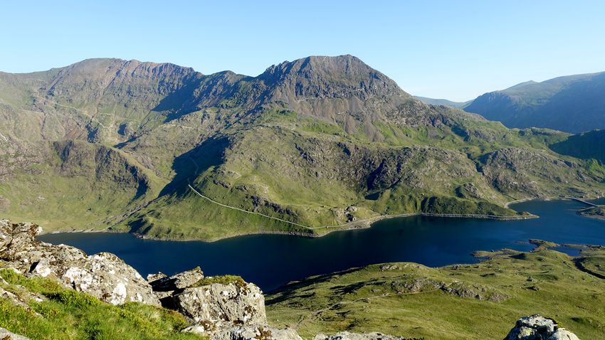
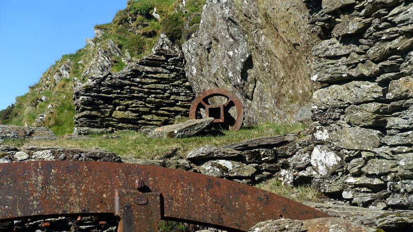
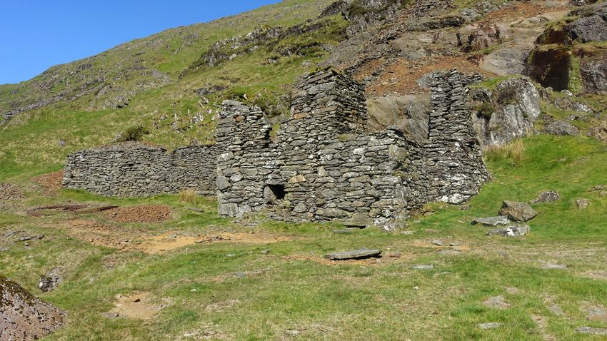
A thin trodden line descends westwards into Cwm Merch, crossing streamlets that later combine to form the Afon Merch, and joins a stone wall leading down to the old mine workings and ruined crusher house at the foot of the prominent orange stripes of mine spoil. The crusher wheels and other artefacts are still there (see Dave Sallery's Lliwedd website for a detailed and interesting description). The mine track gives grand easy walking along the flanks of Cwm Merch and becomes a good path down through woodland into Cwm Llan with Yr Aran towering above.
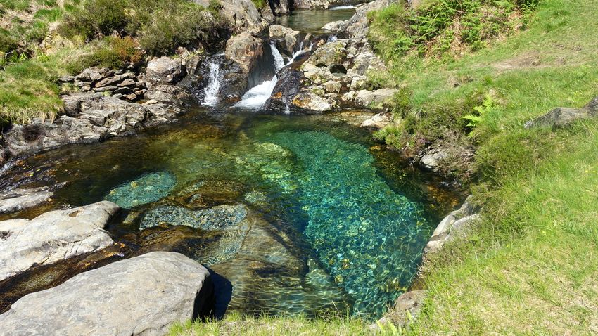
The pools above the falls on the Afon Cwm Llan had a striking artistic beauty today in the glittering colours and reflections.
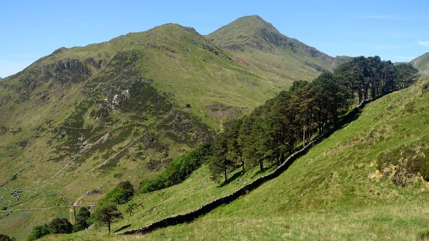
Briefly joining the Watkin path, a short way down there is a small waymarker inscribed 'Craflwyn', the start of the Hafod y Llan walk. The good track ascends to emerge on the northern flank of the Afon Gorsen valley, a broad expanse of cotton grass with Moel Hebog peeping out in the distance. The route is well waymarked and reaches a high point via a ladder stile where the Hebog ridge comes into view. This is very good walking and again surprisingly in complete solitude.
A path descends to the ruins of the Hafod y Porth copper mine and onto a good track.
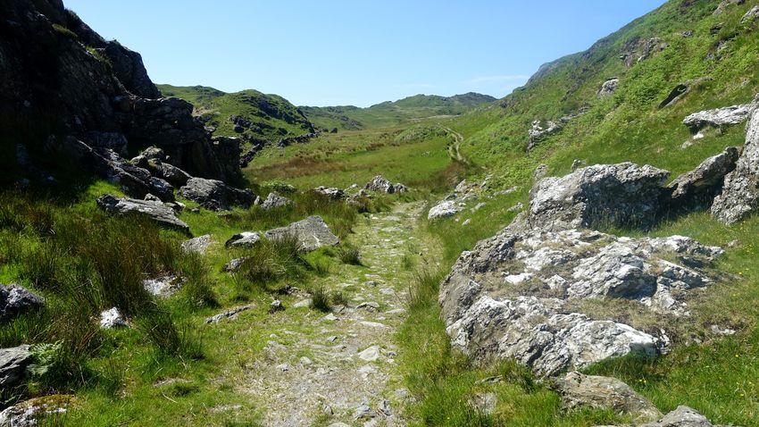
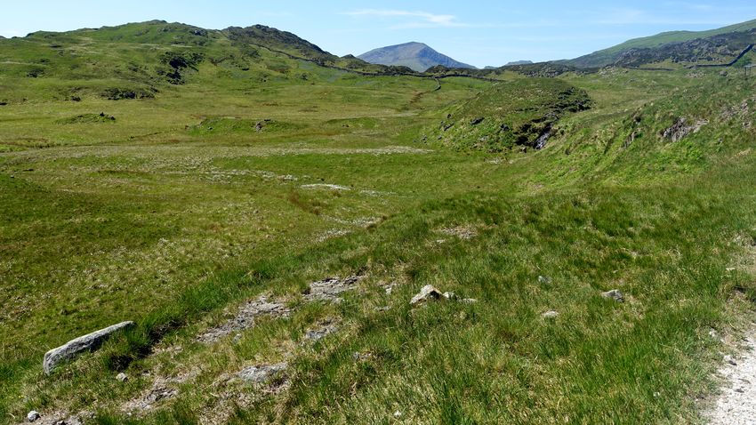
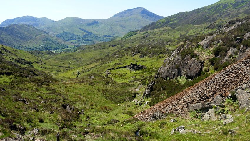
A note about the description of the walk on the NT website: on the descent the track first encounters a step stile where you simply continue onwards, the stile it mentions in stage 5 is the second stile where you turn right immediately after it to cross a new footbridge over the river, not stepping stones as stated on the website. Across the river is a ladder stile where the waymarks resume, directing you leftwards along a line of flat slabs in the reeds.
From here on we simply followed the very well waymarked and maintained route (which roughly parallels the fence initially rather than following the unnatural arc of the permissive path shown on our 2015 mapping) all the way to Craflwyn Hall. Once inside the Craflwyn woods our GPX route file is but a rough guess, the actual line zigzags about at length and seems to pack a lot of superb woodland into that small area.
A short walk along the narrow verge of the A498 brought us to a bridge over the Afon Glaslyn where we crossed to complete the traverse on the riverside path to Beddgelert.