| OS Route Map → | GPX Route file → |
Date: 16 Dec 2007
Start / Finish: Buttermere. Free parking off the minor pass road above the church.
Maps: Explorer OL4: English Lakes North West.
| Day 1 | The High Stile ridge & Fleetwith Pike | 7.2 miles / 4350 feet (11.6km / 1325m) |
| Day 2 | Honister Crag & the Dale Head ridge | 6.8 miles / 2310 feet (11km / 700m) |
A circuit of all the fells around Buttermere lake, an excellent route that we have curiously never seen described anywhere else despite being a pretty obvious one. The first day was sunny but very hazy, on the second day it was much clearer and not a cloud in the sky. Nearly all the snow has gone now, only the Helvellyn range retained a light dusting.
We originally devised and completed this round as a day walk (years ago in younger and fitter days!).
Today was very hazy as I walked along the track through the frozen fields to the shore of Buttermere lake with the white ribbon of Sourmilk Gill tumbling down, and the early morning rays of the sun over the water were a fine sight to spur me on for the day. I needed it too, I had arrived in Buttermere rather later than expected and there was much to do in the short daylight hours ahead.

The steep pitched path through the wood and onward to Bleaberry Tarn always seems very arduous, at least I find it so, fortunately there were no problems with awkward ice on the rock steps, it was nearly all dry with a few easily avoidable small patches. The light was not conducive to a really good picture of the tarn, often the case with these shadowy corrie lakes.

The steep climb continues towards Red Pike and I forked R on a side path to make the short climb to Dodd, an often forsaken member of the 2000' tops. There is a grand view of Crummock Water from the top, but the haze was thick and it was not seen at its best today. A bitingly cold wind urged me to get moving again for the final part of Red Pike, a very steep and truly awful eroded slope where it was difficult to get any grip at all, but when I finally gained the summit there wasn't a breath of wind and the sun was quite warm. The extent of the thick haze was readily apparent.
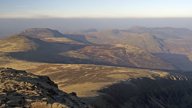
It was a lovely walk along the ridge to High Stile and High Crag in the sunshine, surprisingly warm like a cool Spring day. I was expecting quite a few people but I was alone from Red Pike to Scarth Gap. The most popular gathering spot on High Stile is the 806m cairn, but the summit is out on a promontory to the east.
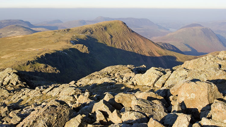
The long descent from High Crag is an awkward steep eroded affair at first but becomes easy on arrival at the pitched path part way down. After a short climb to Seat, another pitched path takes over down to Scarth Gap and the first part of the ascent to Hay Stacks. This top is a magnet for all and sundry but the ascent is a highly enjoyable one, clambering up the rocks and gaining height in no time to arrive at the tarn near the summit. This was a gorgeous sight today, largely frozen and deep blue.

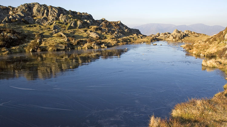
Decision time: the sun would be setting within 2 hours - whether to pitch on this side of the pass and take my time around the tarns or climb the far side. I decided to go for a pitch on Fleetwith Pike so I made good time down to Innominate Tarn, a superb walk alongside the frozen expanse and then descending in the cold deep shadow of towering dark crags to Blackbeck Tarn.


Approaching Warnscale Beck a few more people were still making their way up in the direction of Hay Stacks. The beck was easy to cross and I made my way up the pathless slopes of Fleetwith Pike, using corridors of easy grass through the scrubby heather and keeping a watchful eye for the frozen water flows in the grass that were nearly black and not always easy to spot. Eventually on the upper slopes I joined the good path (not marked on the map) that leads easily to the summit, where the light was fading and the fabled view over Buttermere lake was dim and hazy.
I walked E for a few minutes and found a good pitch for the night as the sun was setting. There was patchy frost on the tent before I got into it and the grass was white and crunchy, while a pall of cloud appeared and draped itself over the Scafells.
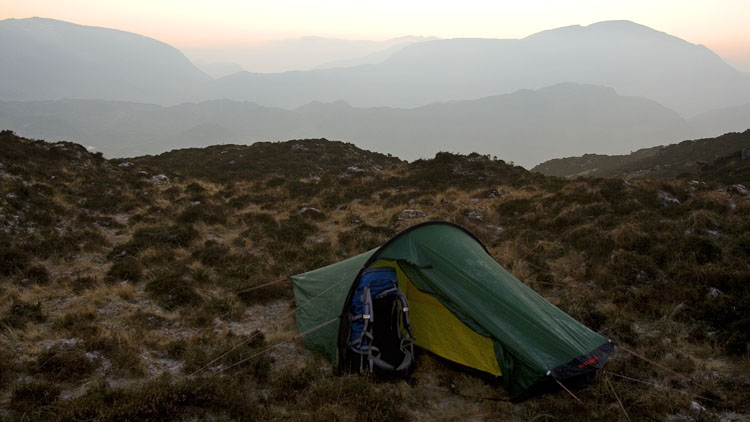
Mountain conditions can still surprise me: early next morning the thick haze had vanished and the sky was clear as a bell, brilliant and starry with no wind, yet it seemed a lot less cold although the grass still crunched underfoot. In fact while collapsing the tent I was getting too warm and I took off my down jacket.
Starting well before sunrise, it was a lovely walk to Honister Crag with the mountains coming to life in the emerging light. A good path leads down to the quarry road, an easy and faithful descent route to the slate works at Honister Hause. A steady climb gained the columnar cairn on Dale Head, still retaining a last vestige of snow along its northern edge.

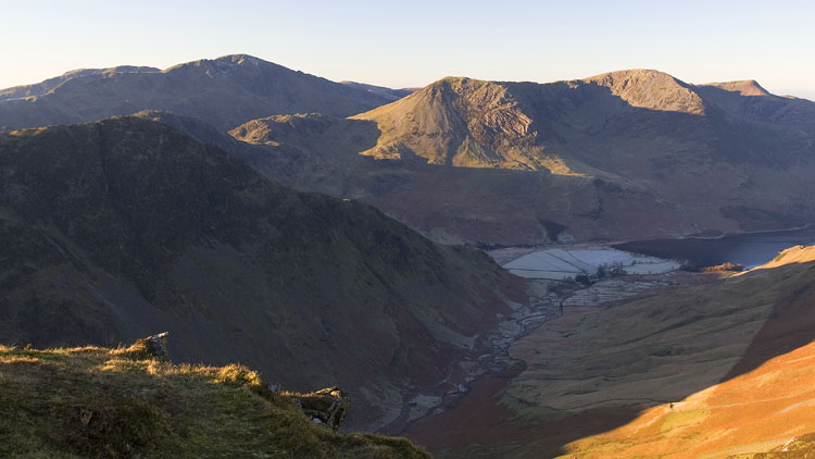
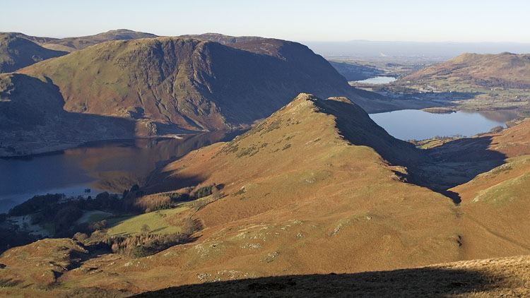
After Hindscarth and Robinson, across the frozen bogs of Buttermere Moss, the last outpost of the ridge is the minor rise of High Snockrigg which has a fine view of Rannerdale Knotts and Mellbreak with Crummock Water. The path down to Buttermere on the north facing slope had rather more icy flows to negotiate than anywhere else on the route but all were easy to circumvent.
