
| OS Route Map → | GPX Route file → |
Date: 25 Sep 2008
Start: Ravenglass rail station.
Finish: Keswick.
Maps: Explorer OL6 & OL4: English Lakes SW & NW.
| Day 1 | Muncaster Fell, Illgill Head & Great How | 13.1 miles / 4140 feet (21.1km / 1260m) |
| Day 2 | The Scafells & Brandreth | 7.7 miles / 3770 feet (12.4km / 1150m) |
| Day 3 | Dale Head & the High Spy ridge | 10.0 miles / 2530 feet (16.1km / 770m) |
A linear 3-day route traversing the Lake District from Ravenglass rail station on the SW coast via Scafell Pike to Keswick.
Despite the high pressure system and dry weather the conditions were largely very dull and the high tops were in dense mist early on, but there were some good opportunities for a few atmospheric pictures. The sunny periods gave only thick hazy views, but in the warm sunshine lower down on Saturday afternoon I relived my experience of last October on Cat Bells - there were literally hundreds of them on the little ridge.
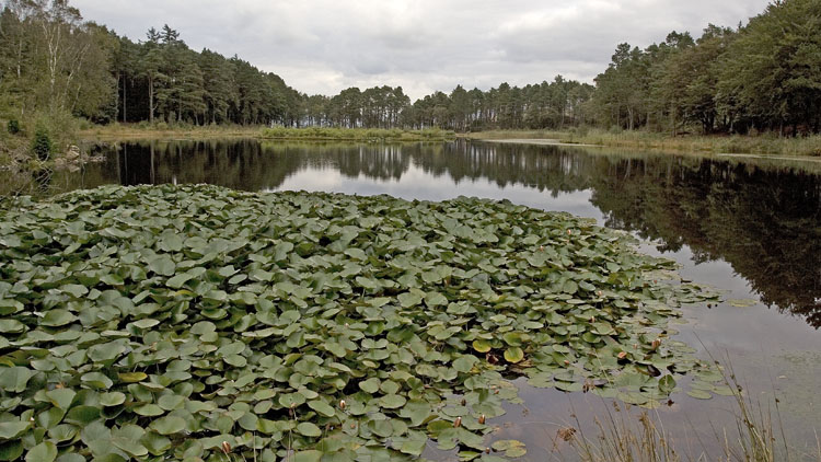
I decided to get the travelling out of the way first: I parked in Keswick and walked to the bus station for the first leg to Workington rail station, then the train to Ravenglass. I took our familiar route past the remains of the Roman bath house and branched L on the woodland path to Muncaster Castle and Fell Lane, the track climbing gradually to Muncaster Fell. A quick detour off the track gave a view of Muncaster Tarn with its dense lilies at the southern end, looking a bit tired - probably due to lack of sunshine as much as the lateness of season.
The normally good views inland from the summit were really quite dreary today under the dismal skies, at least as far as photos were concerned which would have been a waste of good photons, but the walk was enjoyable as always and I passed several people here, the last I would meet for the rest of the day. At the NE end the path swings around Rabbit How and joins the track past Irton Road station.
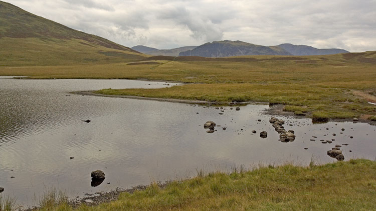
I took the narrow lane into Miterdale and made a warm sticky climb on the bridleway through the forest that emerges on Irton Fell. There was hardly any wind even on the open fell and the midges were out as I sat down for a bite to eat, always a powerful motivator to get moving. It was strange walking past the attractive tarns near Whin Rigg and over Illgill Head: total silence, deserted, and interrupted only by an occasional sound of a Herdwick munching the grass. I left the main path as it began to descend and picked up one of the thin trods down eastwards where Burnmoor Tarn came into view and made a reasonably colourful picture with Great How and Harter Fell beyond. From the tarn the rearward view had brightened up too.

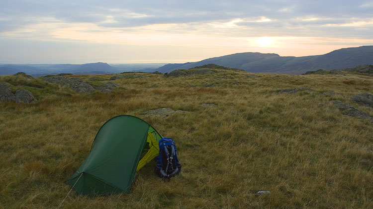
The onward path from the tarn climbs a little at first to a cairn, and I took the squelchy L fork down to Lambford Bridge to climb steeply up to Great How, a favourite of ours among the modest fells that is virtually untrodden and graced by lovely tarns below its rocky top. There was a slight breeze and I had no problem with midges as I made my pitch in the hazy light of the sinking sun. I had brought the stove for the first time since last winter season in anticipation of an autumnal nip in the air: the evening wasn't as nippy as expected but the hot drink was appreciated nevertheless. An inquisitive raven made a pass over the tent with a swooshing of wings and a loud cronk, quite a common event at a pitch.
Plentiful blue sky and vivid early light brought hope of a much brighter day. The high tops retained caps of mist but things were looking good as I weaved a winding course across Quagrigg Moss near the central pools with Sca Fell towering ahead, a splendid wild wet wilderness scene. I saw a group of walkers on the path ascending towards Slight Side, quite a surprise at this hour for an approach from the south. Actually I heard them first, voices carry a long way in this spaciousness.

The early hopes were muted as I later climbed that path: the mist was forming quickly, and as I reached the south ridge all was grey with only fleeting views into Eskdale. At the Sca Fell summit cairn I couldn't see anything at all, and the strengthening chilly wind gave me no cause to linger.
I was not relishing the descent of the pitched path down to Foxes Tarn, or rather a brave attempt at a path. Parts of it are visible but much is now buried in loose gritty scree, I found the best plan was to stay off the path at the bad sections and it was quite easy overall. The scrambly gulley below the tiny tarn is always an enjoyable highlight, being mindful of the rockslip that happened here recently (maybe due to all those people pounding down in big heavy boots more suitable for the Eiger, no problem for the nimble and fleet-of-foot in light sleek footwear!). A grand rockscape towers ahead from the gulley.

A sheltered and warm climb followed up the steep and badly eroded scree to the stretcher box at Mickledore. Despite that clear view from the gulley the tops were still in the windblown chilly mist and I arrived at the roof of England amid a gathering of summitees, actually a small crowd by the usual standards. The sun appeared intermittently giving a chance for some to take the obligatory "here's me at the top" photos, and I set off down the eroded path to Broad Crag col.

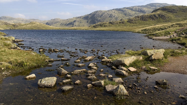
I decided on the standard route to Styhead Tarn via Calf Cove, Esk Hause and Sprinkling Tarn, a grand easy walk with the splendid mountain scenery revealing itself in the clearing mist. I noticed one tent pitched at the far side of Sprinkling Tarn: it's obviously a superb setting but I find it perplexing why so many people head there for a pitch knowing that almost certainly others will be there too, making it just like a glorified campsite.
From the footbridge near Styhead Tarn I slanted up towards the col between Base Brown and Green Gable to pick up a contouring path around Gillercomb Head. This is a Herdwick special, merely an enhanced intermittent sheeptrod but it enables an easy crossing to the Brandreth ridge with virtually no loss or gain of height. I ascended the final easy slopes to Brandreth and made a pitch beyond the stony top - but not without some trouble with the Lasercomp. I've added a description of what happened in Trial #2 on the Lasercomp review page.
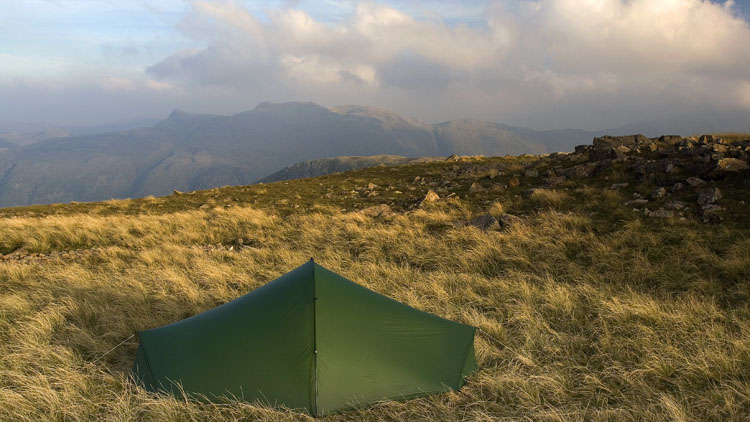
At first light the high tops and some valleys were wreathed in thick veils of swirling mist, but it was clear at the pitch with some patches of blue overhead. I had some help depitching the tent from a frog sitting on the elastic cords, who after failing to climb the slippery nylon decided to crawl under the flysheet and leap around the porch. I caught the offending amphibian and carried him off to a nearby patch of boggy ground.
A brisk walk over to Grey Knotts and its collection of tarns gave an opportunity to capture a nice sky shot in a gap in the swirling clouds, and another on the descent showing the shafts of sunlight on the nearby mountains.
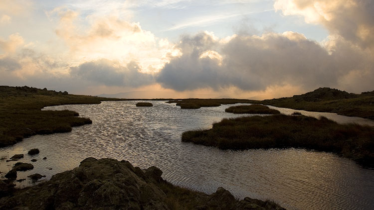
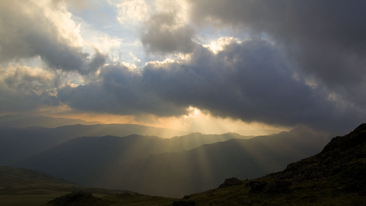
As I climbed to Dale Head the retrospective view was nonexistent as the thick grey cloud smothered everything, but the sun did manage to hold its ground on the High Spy ridge. The crags are well seen from Dalehead Tarn.
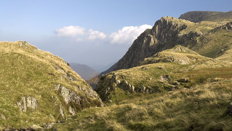
History repeated itself on the ridge and Cat Bells, with multitudes of people drawn out by the sunny and now really warm Saturday. On Cat Bells only a small proportion are on the main summit at any one time but there are hundreds scattered along the little humps of the ridge and right down to Hawes End, many of them picknicking, and a constant flow of new arrivals. There are very few that you might call serious hikers, for want of a better term, and I felt quite out of place - most are touristy types with e.g. woolly jumpers tied around their waists along with a few of the red-sock/big leather boot brigade. The banter is quite enjoyable: "Do I have to get to the top of this hill before I get a cup of coffee?!!" - and that was a subsidiary hump, not the main top.
This is one of two ridges that leads from the central mountains to the environs of Keswick without total loss of height. From Hawes End the Cumbria Way provides an easy finish, first through the attractive native woodland of Silver Hill to the road at Nichol End, and finally a well maintained track from Stormwater Bridge to the main road in Keswick centre.