
| OS Route Map → | GPX Route file → |
Date: 16 Oct 2008
Start / Finish: Ravenstonedale.
Maps: Explorer OL19 Howgill Fells.
| Day 1 | Harter Fell to Hand Lake | 13.3 miles / 4390 feet (21.4km / 1340m) |
| Day 2 | Simon's Seat to Green Bell | 8.2 miles / 2600 feet (13.2km / 790m) |
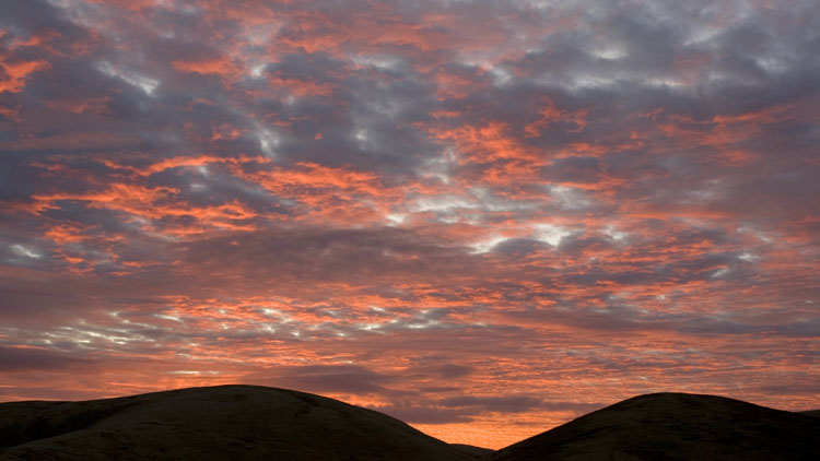
A 2-day transverse circuit of the central belt of the underrated Howgill fells, a trip that produced superb turbulent skies and clear views in the blustery autumnal weather stream. Our pitch in the Lakes a few days ago gave us a fine sunset, this time it was the turn of the sunrise to turn the eastern sky into fiery red ribbons of colour, but for my eyes only: this was a solo trip.
I conceived the route at the last minute and the idea came from perusing our Memory-Map file of the Dewey 500m hills: there were six new tops to be visited in the Howgills, and climbing them all would lead me into plenty of new territory to explore. It would also be good fitness training, some of the route running East-West across the range and traversing the steep sided valleys.
The weather forecast for the second day was borderline from morning onwards, and I made as much progress as possible on the first to maximise the payoff: this complex range of steeply incised hills is a navigational challenge in mist, with multiple ridges and sub-ridges that all look alike, and devoid of walls and fences. It is devilishly easy to find yourself on the wrong ridge or descend into the wrong valley even in clear weather.
The narrow unfenced lane from the southern end of Ravenstonedale was a pleasant start in the fresh breeze, giving the mist time to clear as it climbed gradually towards Harter Fell. The lane descends to cross Gais Gill and climbs out to the 400m contour where I left it for a straightforward ascent on coarse moorland grass to the summit, marked by a small cairn. Floating wisps of mist were still suspended in the valleys but the sun had triumphed and the views were clear.
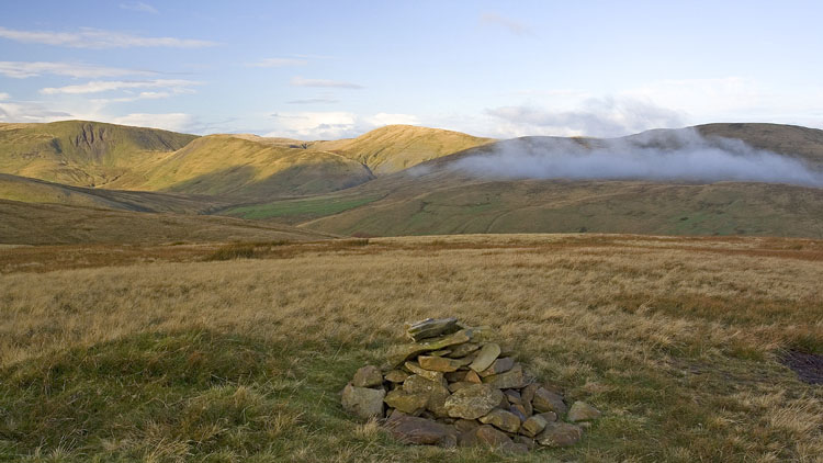
I followed a tractor track over to the southern slopes and descended to join the bridleway track that curves northwards to rejoin the lane by Stonely Gill. A short way down the road another bridleway track is signed that heads westwards to arrive at a barn and a waymark pointing onwards to the crossing of Adamthwaite Sike, but I continued on the main track, not shown on the map, that stays on its N side and passes through gates to a cross wall near a small lake and some trees: at this point I turned R uphill alongside the wall to find a gate at the top of the field.
An easy if rather wet contouring line crossing Spen Gill brought me to the confluence of Stockless Gill and a side stream, a lovely isolated spot in the ravines where the waters meet, and no trace of any paths anywhere. Very few indeed are the people who have approached the range from this side. Ascending SW I reached the saddle in the hills and joined the path up the elongated spine of Kensgriff.

The very steep climb of Yarlside didn't look any easier than last time, and it wasn't, but it's pretty short and gives ever improving views on the rest stops. The chilly wind whistling through the saddle kept me cool through the exertions, it was one of those days with alternating sheltered sunshine and exposed cold winds when I didn't know what to wear for the best, and I settled on a pertex windshell over the fleece.

A little knowledge is a dangerous thing: knowing that Yarlside is - and certainly feels - a Marilyn, I knew that I had to lose at least 500' of hard earned height. In fact it's over 700', but the steep descent alongside the infant Bowderdale Beck is most enjoyable and Cautley Spout can be seen initially across the valley. Bowderdale Head is another fine relaxing spot, a place to rest a little and soak up the atmosphere before the ascent to the Calf. A path begins on the R of the first stream and fades out higher up, leaving a short ascent to join the main path from lower down the valley.
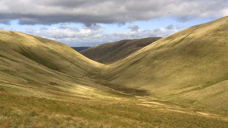
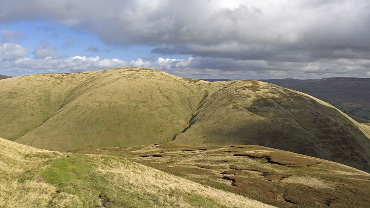
Time to enjoy some easy gentle walking now on good paths: a brisk and very breezy walk to the trig point and tarn at the summit of The Calf, and a stroll and brief ascent to the diminutive Bush Howe, which has just enough prominence to be a 2000' mountain but looks the least prominent of all the humps hereabouts. There was a fine view of the typical Howgill scenery in the northern ridges with the higher Pennines beyond, while the Cumbrian fells were clear in the distance. A drop to Windscarth Wyke and rise to Breaks Head gains the last section of this fine curving ridge leading out to Fell Head, a good vantage point to see the incised folds of Crooked Ashmere Gills.
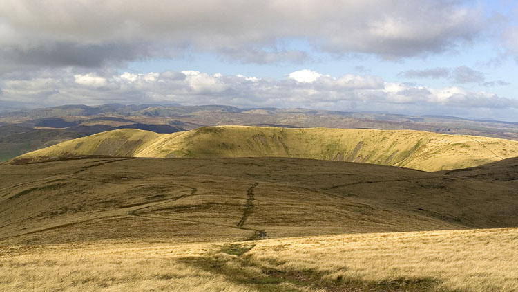
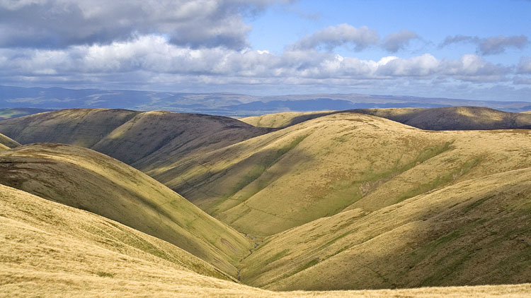
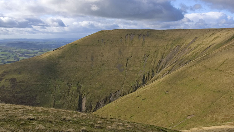
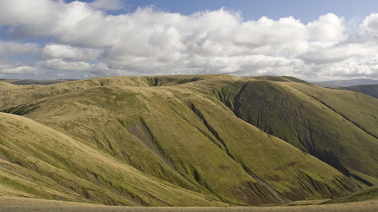
The last outpost on the ridge is a small 623m rise, and from here I descended the NW ridge to pick up one of the convenient tractor tracks that are often found on these ridges. This one led directly to a col and up to the second of my new tops Linghaw, a grassy hill just scraping Dewey status at 500m and not remarkable. The summit is unmarked as far as I could see.
Returning to the col I joined a good path shown on the map that contours very nicely around the flank of Blake Ridge, cutting in to cross the little ravine of Small Gill and giving great views of Uldale Head with the Screes of Black Force below and the waterfall of The Spout nestled in the deep clefts ahead. The path curves in and drops a short way to the top of the gorge of Black Force, the other waterfall that unfortunately can't be seen from this path, but I could appreciate its beginnings as Little Ulgill Beck plunged through a crevice in the dark crags. Howgill scenery at its best.
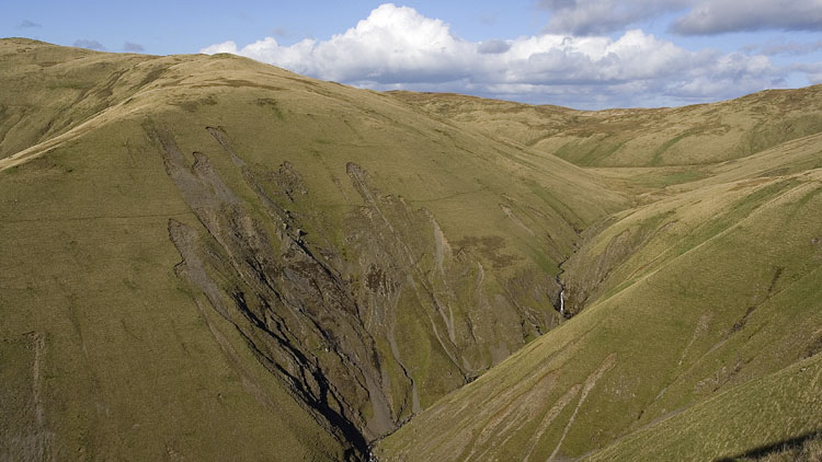
The path fades on the far side of the gorge approaching Blakethwaite Bottom and the area is rather wet, but crossing to the foot of Uldale Head presented no difficulty and I climbed the rough grass slopes to join another tractor track to the summit, where there are two small rises close together. I found that the tractor track thoughtfully descends all the way to the col at the head of Uldale Beck, just right for my final climb to Hand Lake, another top of exactly 500m and somewhat rougher and wetter than most hereabouts. The top is marked by a small heap of stones and I found a good pitch a little lower down in the lee of the wind.
Given the volatility of the weather I thought it wise to use the dratted pole hood on the LaserComp this time, but after tying the middle two cords first I failed with the two ends. Crouching down on wet ground in poor fading light I just couldn't thread the damned cord through the flat 'loop' that was obscured by the pole and thick grass, and I'm sure I wouldn't have been able to tie a knot even if I had threaded it. After much colourful language I just tied them around the pole and left it, that was enough to shield the seam and give some tension to the two guylines. I have an idea to make this far better and I'll try that next time.
Once inside all was forgiven as usual: Once pitched I really like the LaserComp apart from that hood, and I rested my aching legs cheered by a hot drink and a pleasing sunset.


The pole hood wasn't necessary as it turned out, there was no rain and the wind eased considerably. The soft glow of the moon permeated the tent throughout the night and the sunrise was more than pleasing, the whole eastern sky was ablaze: it's a long time since I saw one like this. The colour and patterns develop, change and fade quickly and you must have your wits about you to capture the phenomenon at its best.
I made the short ascent to Docker Knott and surveyed the landscape for the next objective Simon's Seat. This is most easily reached by an easy and enjoyable breezy circuit around the head of the Great Blea Gill valley to Weathercalf Moss and making the final climb from there. The clouds were starting to gather as I made the long steep descent to the head of Langdale at the confluence of East and West Grain. Both streams were quite easy to cross and I noticed that grey mist was already spilling over the highest tops and drifting this way.
I was aiming for the saddle on the N side of Hazelgill Knott summit, and on the descent from Simon's Seat I had observed the sheep using a gradually rising trod heading in that direction. It was a good route and minimised the steep pathless climb to the last few contours. The mist and some light drizzle at my level came and went quickly but I had chance for one photo of Langdale.
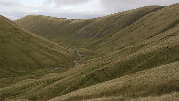
Another pretty steep descent brought me from the saddle into Bowderdale where the heartbreakingly steep slopes of Hooksey towered ahead. The swollen Bowderdale Beck was more tricky to cross and I walked upstream for a while to find a suitable point and returned on the far side to reach Leath Gill. A fell pony near the gill watched warily as I began the merciless ascent, relieved only by an occasional sheep-flattened patch. At the summit the really hard work of the day was over and it was a relief to find that the mist was now confined to the highest tops.
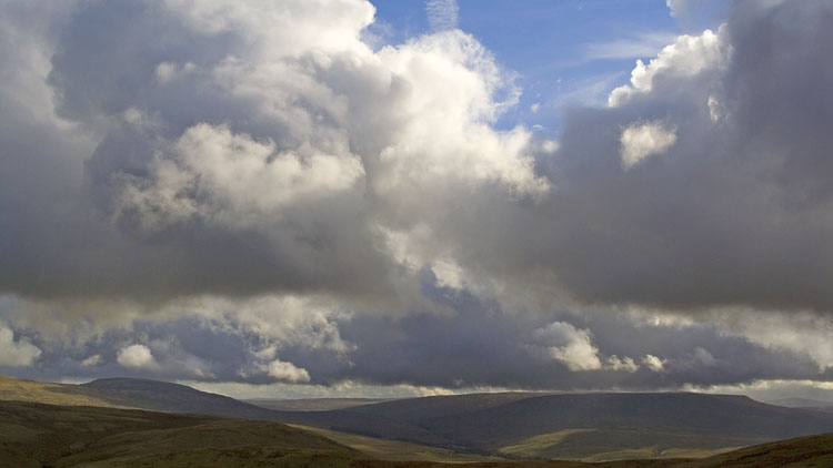
One last pull in a stiff cold westerly wind and I was at Randygill Top. The uniform mist was now replaced with dramatic turbulent greys, whites and blue, making a grand finale of the easy walk over to the trig point on Green Bell.

From Green Bell a good tractor track descends NE, crosses the small hump of Knoutberry and drops to join an untidy path along the flanks of Knott (marked on the map) that curves around the perimeter wall of Thornthwaite. The marked track leading northwards from here is a bit wet and reedy at first but asserts itself further on, leading to the surfaced access track at Kilnmire and the road into Ravenstonedale (at Wye Garth I encountered the wettest part of the whole trip: the track is sandwiched between two walls enclosing boot-deep water complete with duckweed - at least it washed the excess mud off my shoes).