
| OS Route Map → | GPX Route file → |
Date: 11 May 2009
Start / Finish: Ravenglass. Update:- The good public car park is now Pay-and-Display unfortunately, it was free when I did this backpack.
Maps: Explorer OL6 English Lakes SW.
| Day 1 | Muncaster Fell, Illgill Head & Great How | 14.3 miles / 4240 feet (23.0km / 1290m) |
| Day 2 | Stony Tarn, Stanley Force & Devoke Water | 14.5 miles / 1490 feet (23.3km / 454m) |
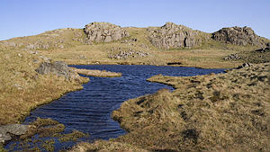
A solo circuit of Lower Eskdale from Ravenglass, my first visit to the Lake District of this year, taking the Muncaster Fell and Illgill Head approach to Great How and returning via Stony Tarn and Devoke Water.
The choice was suggested by a weather forecast of generally "north and west is best" with a strong easterly wind, and I had two days of unbroken sunshine and excellent clarity. The area around Great How, one of our long time favourites, is a hummocky fell of rocky knolls and little cliffs that would offer good possibilities of a sheltered pitch above valley level for the Lasercomp, and it worked out well.
Crossing the footbridge over the railway line leading to the Roman bath house track, I passed the camping and caravanning site, a woodland location replete with trailers and house-like tents, and one of the few businesses that are enjoying increased trade in the current recession. Last time here near the end of the track, I emerged on the A595 at the entrance gate to Muncaster Castle, but today I found the gate closed: I retraced my steps a short way and took the public footpath exit via Home Farm.
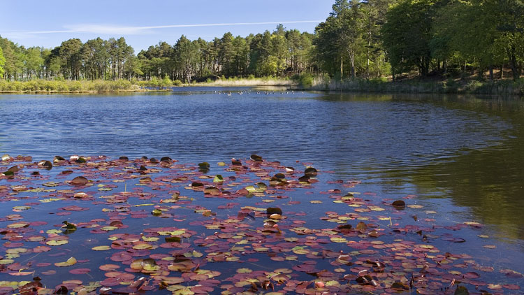
From Fell Lane I diverted to take the usual picture of Muncaster Tarn, a bright colourful scene today with lily pads and greylag geese, unlike the dull grey view I had last year. The approach to Muncaster Fell looks scruffy at the moment with the felled forest area, but this is soon left behind for the open hillside where the wind felt quite strong even at this modest height, and I put on my pertex windshell. At the trig point the clarity was superb, the Isle of Man appearing very close, and I could see distant land beyond to the north while the view of the higher fells inland was as enticing as ever.

The undulating path over Muncaster Fell is a highly enjoyable approach line, descending around Rabbit How towards Eskdale Green and the narrow lane into Miterdale. The climb through Miterdale Forest seemed quicker than last time, though very warm out of the wind, and I was soon back on the windswept hillside climbing to Whin Rigg. The views of Wasdale and the western fells are excellent from the length of Illgill Head and crystal clear today, though it was nigh on impossible to hold the camera steady.

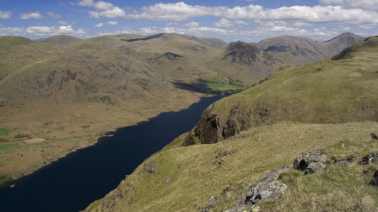

Moving on north eastwards I passed a group of young people sitting down amid their kit and again I noticed backpacks the size of fridges: might well have been the D-O-E crew again. The thin path descending the steep flank that I used on previous trips eluded me this time, it's hard to find from above on the convex slope, but the terrain is not difficult and I soon arrived at the small moraine near the foot of the hill. The view over Burnmoor Tarn is wildly appealing at any time but any opportunity to capture the waters looking blue must be taken, it doesn't happen very often.

The area was deserted as I walked towards Bulatt Bridge, threading my way across the rock strewn ground where the surrounding bog drains into streamlets, and I ascended towards a cairn opposite Burnmoor Lodge for a grand view back over the tarn. A few people were approaching now from the Wasdale side, probably following this bridleway to Eskdale. I made the squelchy descent to Lambford Bridge, and a short way up the opposite slope I located the thin path that gently ascends the flank of Eskdale Fell back northwards towards Oliver Gill. There is a good view of the wild expanse north of the tarn where the streams tumble down from Sca Fell.
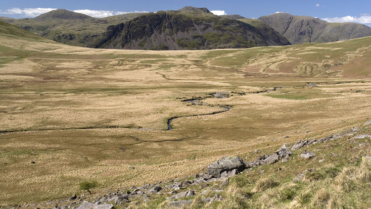
It was quite warm and calm on this sunny protected flank, but rounding the corner into the steep sided ravine of Oliver Gill the cold wind was really whistling down in the deep shadow, countered only by the warming effort of the ascent on the thin and increasingly scrappy path. Where the slopes eased higher up I headed R over the spongy wet ground directly for Great How, now in sunshine again and boasting great views of the surrounding fells from the rocky summit cairn.


Descending swiftly from the strong cold wind, the priority was to find a relatively sheltered spot for a pitch and I explored the lovely area of tarns and knolls seeking out candidates, finally choosing a flat spot several levels down on the edge of a bog and shielded on the east side by a little cliff. I had brought a generous length of Dyneema cord and a few extra pegs in case I thought it wise to rig extra guylines, but I pitched it in standard configuation to see how things developed.
After the evening meal I put on my down jacket and set off from the oven-like warmth of the sunlit tent to capture a picture of Sca Fell across one of the tarns, and to my disbelief I saw another walker approaching, gazing at a GPS and carrying what looked like two walking poles with lengths of orange tape attached. I've never seen anyone else here on this totally pathless fell and he continued on northwards. Later on a shape darkened the tent and stopped: an inquisitive herdwick to be sure, it can't happen twice in one day, but I unzipped the door and another man was standing there. It turns out that they were undertaking a survey and gathering data on the local flora, and he soon left to join the rest of the team.

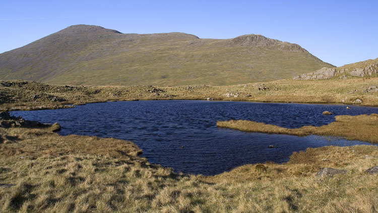
I left the tent with normal rigging and slept well, but the wind grew stronger overnight and by morning the tent was being very noisily buffeted with strong gusts. At no time did it seem in any danger, in fact the pole moved very little and the end rods were solid, which boosted my confidence in the Lasercomp still further.
I set off upwards back towards the summit area directly into the wind with hat, shell jacket and hood up: early summer at 500m!. I kept my hands just warm enough to capture the gorgeous early light on the fells to the SE.

Having generated some heat by walking in the rising sun, the descent south eastwards towards Cat Cove was a delight in the waking landscape. The next objective was Stony Tarn, and although we have never obtained a really good picture of the tarn I anticipated a chance of a photo from above with the early sun behind me. I aimed to descend to the little crags overlooking the tarn and the line was surprisingly easy on grass and rock. I wasn't disappointed: the aerial view was superb, and so was the walk around the western shoreline. Crossing the outflow and climbing to Whin Crag, there was a good retrospective view with Sca Fell as a backdrop.


From my lofty viewpoint I spotted the path marked on the map that descends SW. I freelanced down the easy slopes to join the path, which occasionally loses itself in a boggy patch and reappears as it twists around, but eventually emerges on the valley road by the Woolpack Inn. I crossed the Esk at Doctor Bridge and took the track to the footbridge at the foot of the wooded ravine of Stanley Force. There is a good path immediately on the west side of the stream that climbs up from the footbridge to the main falls, crossing from side to side via more footbridges where the gorge steepens and accompanied by nanny notices warning of the steep wet uppermost section. The waterfall is quite small but the setting makes it rather special: the dark dripping rocky gorge is near vertical sided above.
There is no through route on this side beyond the highest observation ledge (unless you're a rock climber), and I returned to the highest footbridge and continued upwards on the west side to another notice warning of the "150 feet sheer drop" ahead. For once they are not exagerrating, the well worn path ends on a rock platform with a calamitous 90° drop into the dark wooded abyss below.
Retreating a few yards, the footpath leaves the drama of the gorge and crosses a stile onto the open hillside to join a good track through pastoral land to Low Ground and Birkerthwaite. From here I took the farm access drive to the fell road and onwards to Devoke Water, a huge expanse of blue today with breakers scudding across its surface and the picturesque boathouse on its eastern shore.
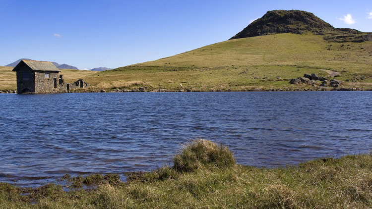
The bridleway leaves the lake and makes an easy and enjoyable walk as far as the ancient Barnscar remains, with only a few wet bits to negotiate. From the gate at 129957 there is a very wet patch to cross to gain the next rusty old gate Then the line of the footpath does follow the map pretty closely and actually appears on the ground later on, but crosses some rough, wet pathless ground as well. Arriving on the A595, I carefully followed the road to the Cumbria Coastal Way (CCW) that passes through the Muncaster estate, only to find a sign saying:- "CCW - path closed due to dangerous footbridge". To hell with that, I took it anyway and found the dangerous footbridge: a very small one with one or two timbers rotted and fallen through, but presenting no difficulty at all.
The CCW emerges from the woodland onto the beach where it heads for Ravenglass. I took a last photo of Eskmeals Dunes in the warm sunshine.
