
| OS Route Map → | GPX Route file → |
 Date: 08 Apr 2019
Start: Wallsend Metro / Finish: Bowness-on-Solway (Banks promenade).
Maps: Explorer 316 Newcastle + 043 Hadrian's Wall + 315 Carlisle + 314 Solway Firth.
| Day 1 | Wallsend to Wallhouses | 20.9miles / 1415 feet (33.6km / 431m) |
| Day 2 | Wallhouses to Cockmount Hill | 25.5miles / 3024 feet (41.0km / 921m) |
| Day 3 | Cockmount Hill to Grinsdale | 26.9miles / 1629 feet (43.3km / 496m) |
| Day 4 | Grinsdale to Bowness-on-Solway | 11.5miles / 308 feet (18.5km / 93m) |
A 3½-day solo training backpack of the popular Hadrian's Wall (HW) national trail, or Hadrian's Way as it is signed at the eastern end near Wallsend Metro station.
A weather forecast for several days of dry conditions with a persistent fresh easterly air stream gave a rare opportunity to hike it east-to-west with the wind at my back the whole way. The first day was grey and murky, no great loss since the easternmost section is largely urban, but the rest were much better than expected and mainly sunny throughout, perfect for this route that has lurked on a back burner for years.
A very varied trail, the HW highlight is the 12 mile central section that spans the high ground from Milecastle 34 to Thirlwall Castle near Greenhead, an excellent hillwalking traverse with fine views that passes many preserved Roman sites.
For me, other sections are less successful to some degree. I have some affinity for the Roman Empire and its history, but most of the preserved remains do little to enhance it and, by design, this route always follows them as faithfully as possible, forcing itself onto a line that does not readily accept it for good walking.
Most notable is the B6318 road that traces the wall line for 22 miles (35km): for almost all this length you are cheek by jowl with the road, not a very busy one but not exactly quiet either. The eastern urban section along the Tyne is not without interest, passing the architecture of the various bridges, riverside buildings and the former site of St. Anthony's tar works, but is mostly on tarmac (well cushioned footwear essential!). The western section is mixed country rambling, open coastal walking and some roads, pleasant walking in the main.
I shouldn't be too critical, walkers come here from all over the world for this trail and I enjoyed it myself, as always, striding out on a backpacking trek. The most significant factor for the independent wild backpacker is water supplies: between Heddon-on-the-Wall and Carlisle there may be few, if any, places to obtain water without walking a long way off-route depending on the day, other than relying on a kindly householder.
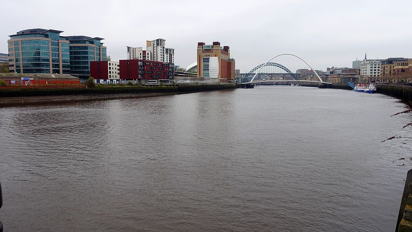
Alighting from the Metro at Wallsend and settling my bearings, I walked SE on the A186 heading towards Segedunum Roman Fort and crossed at the traffic lights to locate the first HW signpost a short way downhill. The forecast fresh easterly wind and thickly overcast skies were incentive to set a brisk pace on this initial urban section along the Tyne that follows Sustrans cycle route 72. The industrial surroundings are softened initially by using tracks and paths in Walker Riverside Park.
Several bridges and modern buildings provide engineering and architectural interest along the way until the trail finally leaves the cityscape at Tyne Riverside Country Park for an easy walk along the river. Note: on the National Trail website, the HW leaves the riverside at NZ134655, but on the ground it is signed to leave sooner at Ryton Island and join the track to the north.
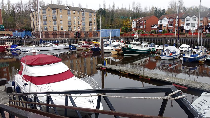
A pleasant climb initially through woodland reaches Heddon-on-the-Wall at the eastern end of the B6318 near Turret 12A, though the views were extremely murky and yielded no halfway decent photos. I bought supplies in the Spar store at the northern end of the village at the road junction and set off on the very long hike westwards, very glad to have that cold easterly behind me as the path hugs the road for miles with an occasional detour to avoid dwellings. The HW crosses the Whittle Dene reservoirs, protective nature reserves with no access allowed.
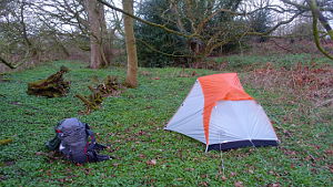
About a mile farther on I made my pitch detour for the night, a very good woodland spot after a bit of housework and clearing up.
No chance of oversleeping this morning, the pheasants saw to that with their metallic squawking. After dawn the outlook was a lot brighter than yesterday with small patches of blue sky here and there as I took a pitch photo and rejoined the HW gently ascending to Down Hill. Here I made yet another woolly rescue: the young lambs had coats resembling fitted plastic bags, but one lamb was trapped in a loose strand of barbed wire with its shredded bag entangled in the mess. Under the frantic eye of its mother I eventually extricated it without further injury and it limped off to its mother little worse for the experience.
The path passes the 268m trig point at Stanley Plantation and later reaches Planetrees where the wall width was reduced during construction from 10 to 8 roman feet but still stands on the wider foundations.
At Turret 26A the HW descends to Wall where I detoured to the public toilets.


Resuming the trail via a road hike to Chollerford, I crossed the River North Tyne and made my planned visit to the Riverside tearooms to pick up supplies. Their website says that they make sandwiches on the spot and are "dietary aware", and so they are in the sense that they know what you're talking about, but it's not reflected in any way by the products they sell. My enquiry about a dairy-free sandwich was met by a nervous stare: they couldn't make one, at least one with a spread - none of their spreads were dairy-free. They offered one without spread and I accepted, putting it in my pack for later. This would extend my concept of a sandwich considerably, it was a meal in itself - jolly nice though.
The HW marches on via another road hike to Walwick and detours around Walwick Hall, passing more sections of preserved stonework to reach the trig point near Milecastle 30. The views were very clear now in the afternoon sunshine as the path follows the ramparts towards Brocolitia Fort with a detour to visit the Temple of Mithras.


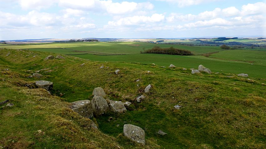

At Milecastle 34 the HW finally parts company with the road for the best section of the trail, a grand traverse of the fine hill scenery and crags of the sinuous line of the wall including Vercovicium (Housesteads) Roman Fort. This section contains a lot of steep ups and downs, each quite small but they really add up. It is also a very busy section, even on this weekday before Easter there were plenty of walkers here as well as casual tourists visiting the fort.
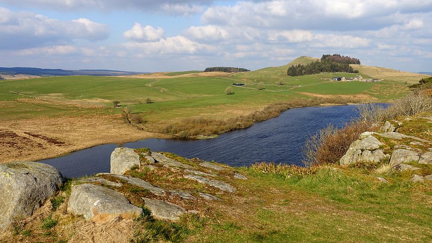
The busy section seems to end at Winshield Crags, I saw hardly anyone after the trig point but there is still plenty of good walking and scenery to enjoy farther west on the continuing Roman ridge. Cawfield Crags makes a striking backdrop to the old quarry lake at Burnhead. I continued west past Great Chesters to Cockmount Hill where I found a great pitch.
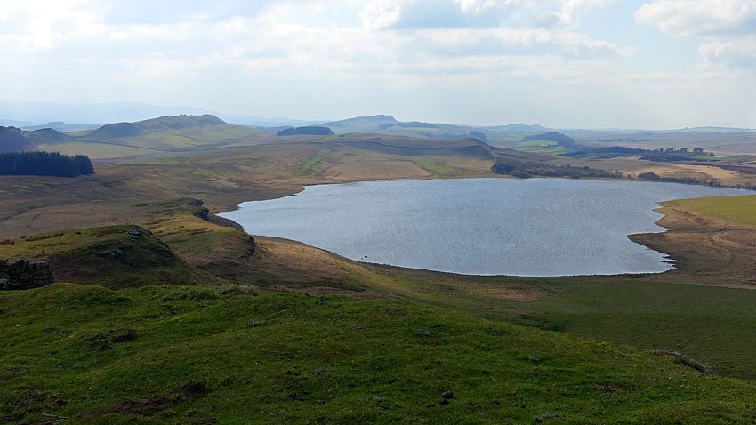
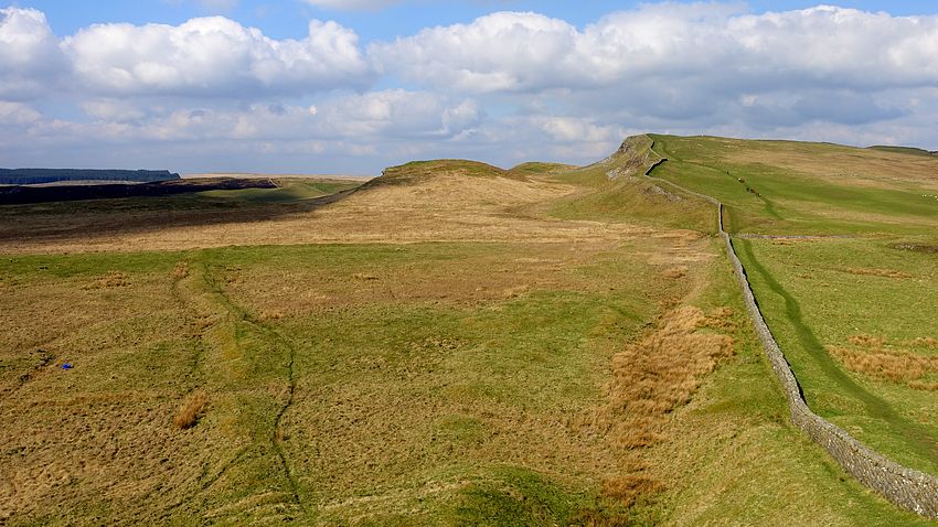

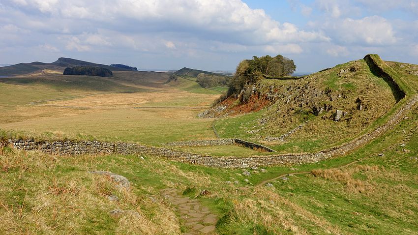
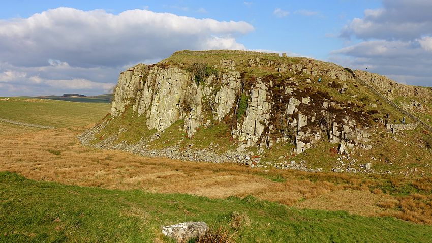

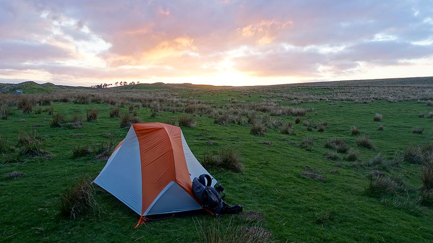
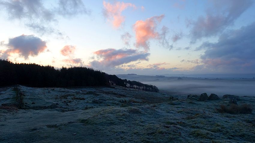
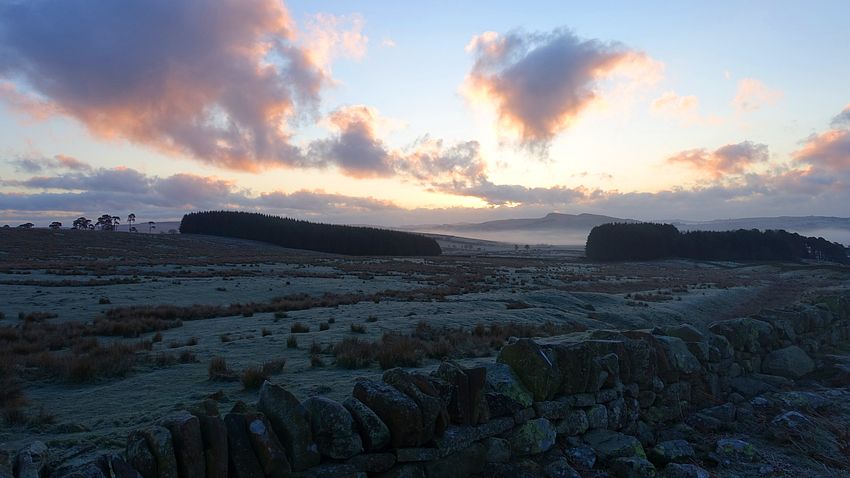
The sky was clear overnight and the easterly wind had almost died, leaving perfect conditions for a hard frost on both tent and ground that imparted a strange hue to the landscape for the first couple of hours as seen in the photos, especially at Walltown Crags. This was an excellent undulating walk to start the day again with clear views and sunny skies, traversing Turrets 44 and 45 to Holmhead.


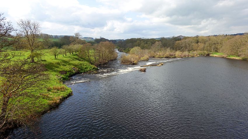
The HW moves on to Roman Bridge where the river position has eroded westwards from the original construction that is now on dry land. Amazingly it appears that the larger of the two original bridges was designed and constructed to carry Hadrian's Wall itself across the River Irthing, not just soldiers and their equipment. A modern footbridge now carries walkers across.

The HW traverses more turrets and preserved fragments to Walton where I investigated the Post Office in the vague hope of buying water or soft drinks - it was a lot warmer than expected and I was low on liquid. The first piece of luck - the PO was open: the opening hours in this area are very limited and confined to certain days. However they don't sell food or drink of any kind, but the very welcoming lady kindly let me drink my fill at their tap and replenish my water bottles - if you ever read this, thank you again.
Additional note:- before Walton near Turret 53B, a notice advertises Haytongate (NY553645) where snacks and drinks are available unmanned with an honesty box system. I saw the facility - just a shed through a gap in the perimeter hedge, but the cabinets were switched off and empty.
There is a similar snack shed farther along the trail in Newtown, this was open and stocked with a few soft drinks and snacks like choc bars etc.
The trail rambles on through Crosby-on-Eden and briefly joins the river before passing through Linstock and crossing the M6 to Rickerby Park, a pleasant walk rejoining the Eden and following its south shore to Carlisle. Here I detoured south to the centre via the underpass system to replenish supplies and returned to follow the river towards Grinsdale. This was always potentially the trickiest pitch and I strictly applied the "pitch late - leave early" principle. As soon as the sun set and I'd seen no people for a while, I pitched the tent and all was fine.

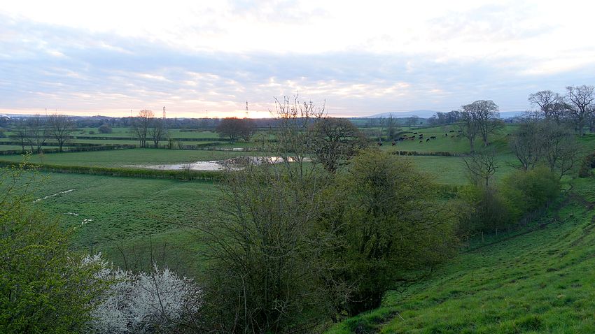
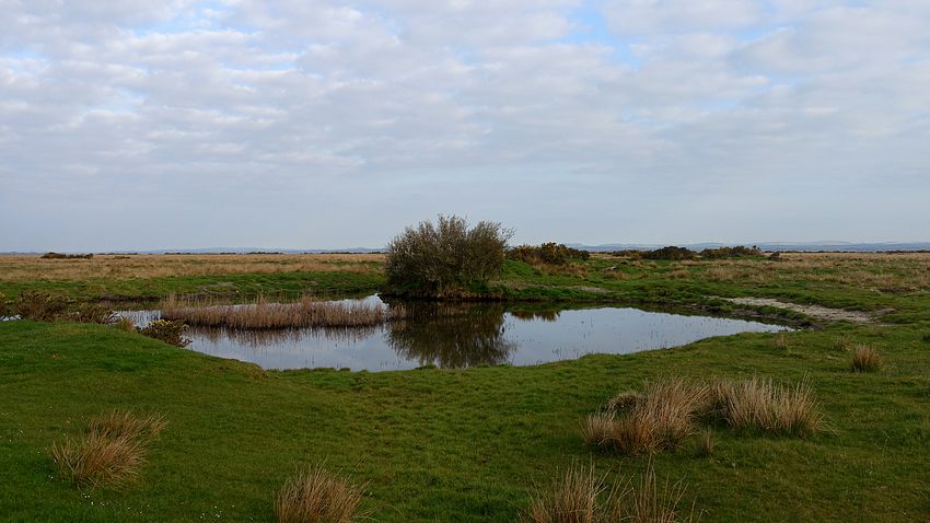
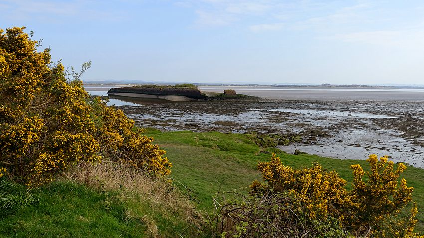
Dawn brought another fine morning and a pleasant walk through Grinsdale to Kirkandrews where the long-standing temporary diversion along the road to Beaumont is still in force. The HW follows a farm track along the course of the wall to the road at Burgh by Sands and through the village to the coastal marsh section. I had checked the tides and they were low for my crossing. There is a choice of the road verge or the slightly elevated embankment for the long straight hike to Drumburgh in the distance.
At Drumburgh the trail takes a detour inland via a farm track to Glasson and onto a track to Milecastle 78 where an attractive path has been established on the seaward side of the road to Port Carlisle. Here I chatted for a while with Roger, a locally familiar and friendly man who maintains an indicator post showing distances of cities that recent HW walkers come from.
From Port Carlisle it's a road hike to the first buildings of Bowness and the last trail fingerpost, but a short way up the road is a sign indicating a walkway between the houses to Banks Promenade and the HW shelter. Constructed using the Roman technique with pegs rather than screws, the wooden shelter has a Roman-style mosaic floor and information boards on the wall.
I had plenty of time to kill before the 13:37 bus for Carlisle. At the shelter a group of hikers arrived who were just starting their west-to-east trek and I took group photos of them. I strolled around the village and located Wallsend tearoom, not fully open at that time but I was able to buy soft drinks from the cold cabinet. The bus arrived on time and I was joined by a couple of American girls who had finished an hour after me.
It was a satisfying backpack, due in large part to the much better than expected weather. It reminded me how much I miss a good long trail backpack.
