
| OS Route Map → | GPX Route file → |
 Date: 23 Mar 2022
Start: Frodsham station / Finish: Whitchurch station.
Maps: Explorer 267: Northwich & Delamere Forest + 257: Crewe & Nantwich.
| Day 1 | Frodsham to Burwardsley | 18.4miles / 2189 feet (29.6km / 667m) |
| Day 2 | Burwardsley to Whitchurch | 15.6 miles / 1518 feet (25.1km / 462m) |
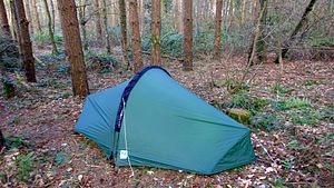
A 2-day solo trek of the Sandstone Trail (ST) waymarked route that traverses the sandstone ridges of Cheshire between the western Peak District and the far eastern high ground of the Clwydian hills and Dee hills of Wales.
One of two Cheshire ridge trails, the other being the Gritstone Trail that I did on my last solo trip, this popular walk was a perfect candidate for a short spell of excellent weather with chilly nights and warm days before Easter and the inevitable influx of walkers, also a better chance of retiring to a fairly early stealthy tent pitch. Bearing in mind the nature and popularity of path sections on the high ground of this trail, I considered my usual Big Agnes Copper Spur tent a potential risk due to its colour and instead dug out my 14-year old forest-green TN Laser Competition (never has an item of gear engendered such simultaneous feelings of love and hate!).
The two principal sections of sandstone edge walking were most enjoyable and offered good views and plenty of lovely woodland. There are also two long sections of typical Cheshire field rambling between farms that were pleasant enough in these warm and dry optimum conditions, but after significant rain these would often be extremely muddy. The trail is plentifully signed with the ST logo, but there are often other paths in the vicinity and you still need to keep your wits about you at times.
Beyond that I don't have much to say about the trail, just a small number of photos and a few notes. Detailed notes for those wishing to check out the features of the trail in greater depth can be found on the official website linked above.
Leaving Frodsham station on the southern side, I turned left south-east uphill on the B5152 Church Street and ascended to the start of the trail indicated by ST signs attached to a lampost. The high ground is quickly reached at Overton Hill.

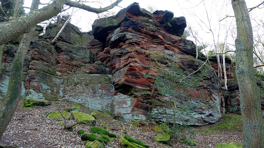


At Higher Burwardsley I diverted from the trail to seek a secluded pitch and found a very good flat spot just inside the forest. After clearing away loose twigs and bits of branch, it was an excellent comfortable pitch once I remembered the quirks of the Lasercomp and got the damned thing erected well. Once inside I remembered the oddly satisfying feelgood factor about this tent, including the very spacious vestibule and superb action of the flysheet door zip.
The windless, dead calm of the forest served to amplify the occasional loud metallic squawks of several squabbling pheasants, but they turned in as darkness fell and total silence prevailed.
As has happened before, Mr. Pheasant was determined to ensure I got an early dawn start for the day. Breaking camp, I refamiliarised myself with the pain of depitching this tent: removing the pole, the rest collapses into an unholy mess of green and yellow silnylon, straps, cords and rods. The only time I've ever packed it (fairly) neatly is at home. At least this night was unusually dry and so was the tent, it's more often a sopping wet tangled heap.
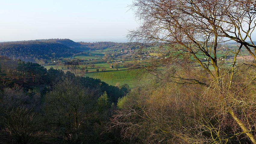
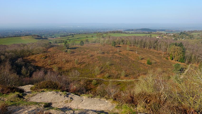
An early climb of Bulkley Hill gave a gorgeous view of the woodland in the dawn light. The conditions were near perfect for an excellent walk over Raw Head and Bickerton Hill: clear sky and sunshine but cool.

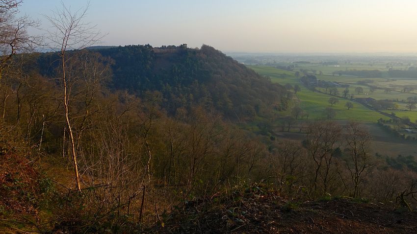


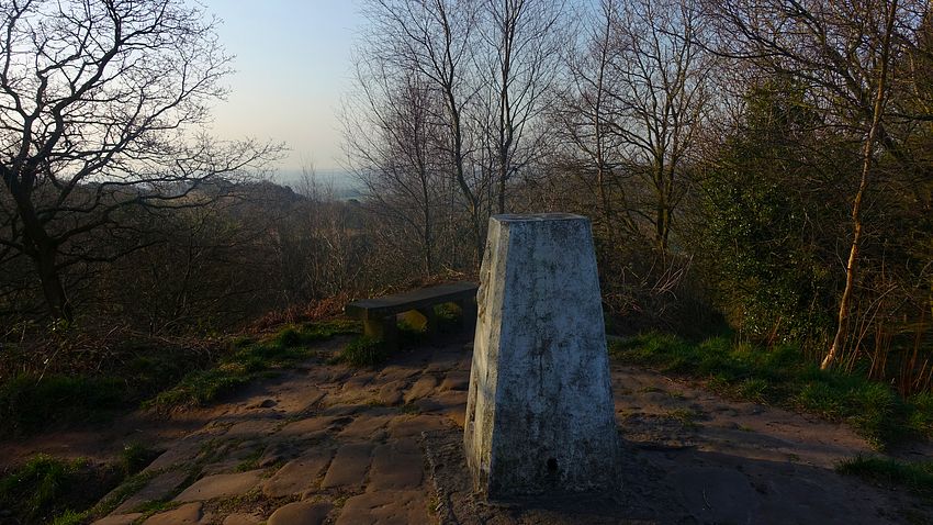
The walk ends with a stretch of the Llangollen canal through Grindley Brook locks into the western end of Whitchurch. The ST is signed through this part of the town along green spaces and walkways to avoid most of the roads and conveniently ends by Tesco where I bought food and drink for the journey home, leaving a short walk to the station.