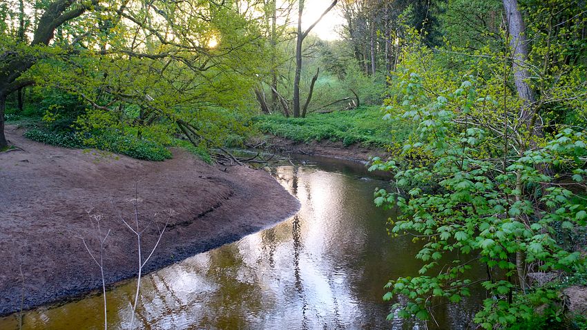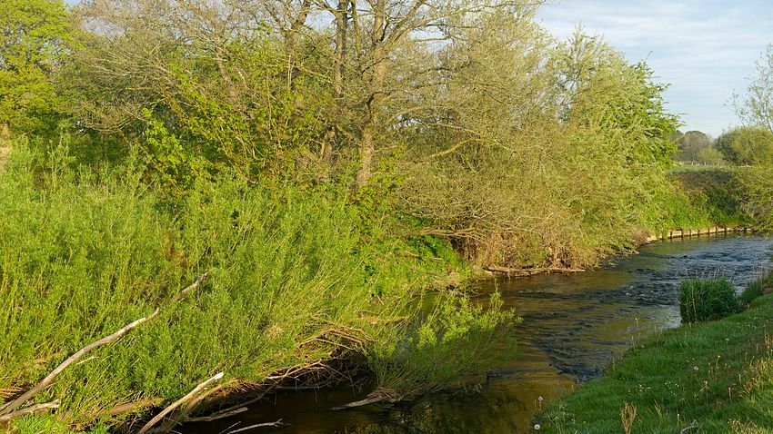
| OS Route Map → | GPX Route file → |
 Date: 26 Apr 2022
Start: Macclesfield station/ Finish: Altrincham.
Note:- The Bollin Valley Way route itself starts at Macclesfield Riverside Country Park (SJ913745) and ends at Partington (SJ706912) and is ~25 miles (~40km).
Maps: Explorer 268 Wilmslow Macclesfield & Congleton + 276 Bolton Wigan & Warrington.
| Day 1 | Macclesfield to Ashley | 16.7 miles (26.9km) |
| Day 2 | Ashley to Partington & Carrington | 13.2 miles (21.2km) |

A 2-day solo trek of the Bollin Valley Way (BVW) route that shadows the River Bollin from Macclesfield to Partington at the Manchester Ship Canal. I extended the route start from Macclesfield rail station and walked directly home from Partington via the track network and disused oil railway trackbed of Carrington Moss, though some improvisation was required to access the network due to the appearance of a huge construction site adjacent to the Ship Canal.
A cloudy and uninspiring forecast caused this forgotten route to surface from the bottom drawer of walks, a local low-level leg stretcher easily walked in less than two days. No aerobic hillwalking training here!. Instead there is much fine woodland and some pleasant Cheshire countryside scenery to enjoy as the route follows the Bollin as closely as possible.
The Bollin Valley Partnership has done a good job here with a very easy waymarked route on paths and tracks that satisfies its objectives well and is furnished mainly with black metal kissing gates. I took very few photos, the woodland needing special light to make really good pictures that stand out and it wasn't forthcoming on this trip. Beyond a couple of minor curiosities I don't have much commentary to add.
My link route from the main road outside Macclesfield station, initially along Gas Road, proceeded along the signed Middlewood Way (MW) link, basically a walkway/cycle route that weaves its way through the maze of roads to the official start of the MW. Where the MW branches off, I continued to the A538 where the entrance to Riverside Country Park is a short walk to the right.
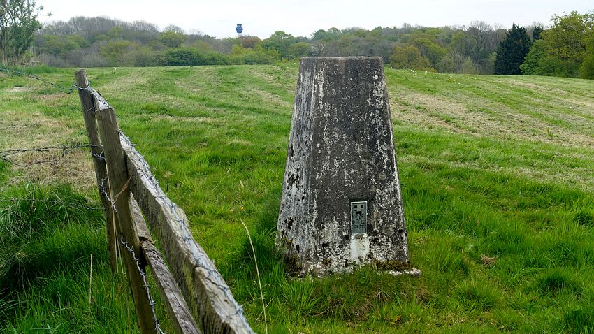
Just a couple of curiosities to highlight today: firstly the BVW passes an array of landing lights for runway 2 of the airport, arranged in sets of three extending into the distance. Secondly a trig point standing forlornly in a corner of a field next to the road.
I was again fortunate to find a perfectly flat woodland pitch by the river, rather hard and bare but well shielded from view.
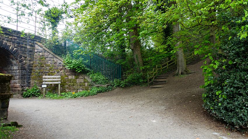


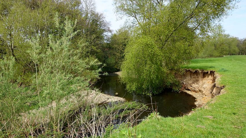


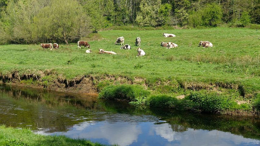


The dawn light, though not special in any way, gave a pleasing view of the river as I set off bright and early bound for the Dunham Massey estate. The approach from the A56 is one we've never explored before, a pleasant walk in the early sunshine.
To the south of Dunham Woodhouses, the National Trust and Mersey Rivers Trust are involved in a project to improve the wetland habitat around the Bollin. This didn't affect the waymarked route.
The sunshine lasted as far as the Manchester Ship Canal and the end of the BVW. From here I improvised a new line to reach the Carrington tracks.
Note: From the BVW end at the roadhead of Lock Lane in Partington, I intended to continue following tracks north-eastwards close to the Manchester Ship Canal that are clearly shown on both Mapping and Satellite layers of Google Maps, the access points confirmed by StreetView photography. These tracks would lead easily to the western end of the Carrington track network to take me home. However the plan was foiled: the entire area between the canal and the existing housing is now an enormous construction project with no access at all.
I followed Lock Lane to Hall Lane (SJ 71648 91553), a short cul-de-sac leading to a public footpath to my connection point, but no joy: the construction site extended even as far as here. Returning to Lock Lane, I proceeded and turned left along the A6144 to the line of the dismantled oil railway trackbed: success at last, I found an access point immediately before the bridge.
