
| OS Route Map → | GPX Route file → |
Date: 27 Aug 2022
Start: Trawsfynydd Power Station bus stop / Finish: Dolgellau.
Maps: Explorer OL18 Harlech & Bala + Explorer OL23 Cadair Idris.
| Day 1 | Foel Fawr, Graig Wen & Moel Oernant | 7.5miles / 2220 feet (12.1km / 676m) |
| Day 2 | Bryn-pig, Rhobell-y-big & Rhobell Ganol | 7.9miles / 2238 feet (12.7km / 682m) |
| Day 3 | Rhobell Fawr | 2.5miles / 790 feet (4.0km / 240m) |
| Day 4 | Foel Offrwm & Nannau Park | 7.7miles / 918 feet (12.4km / 279m) |

A 4-day trek through the western Arenigs from Trawsfynydd to Dolgellau, revisiting some hills and lakes from years ago, some we skirted on more recent trips and picking up one new summit. The route explores some new territory and approaches to connect the sections in the northern half.
Another route designed for a summer bank holiday, an Arenigs trek will always fit the bill, mostly deserted especially on some of these tops via these approaches. This was intended as a 3-day route but, not wanting to travel back on a bank holiday Monday, I decided to stay another night and make the last two days a very relaxed slackpacking experience. The northern half involves a great deal of trackless terrain: in many parts of the Arenigs this, along with solitude and a feeling of wild remote Wales, is what you sign up for!.
Unfortunately I had a camera mishap near the start of the first day: somehow I must have unseated the memory card. At the end of the day in the dimmer light, I saw that the camera was showing a warning "NO CARD", but it still went through all the motions and fired the shutter even with nowhere to store the picture. I fixed the problem but all the previous shots from the day were sadly lost.
The trek starts at the bus stop on the A470 near the access track to Trawsfynydd power station. It's basically just a layby, there is no physical evidence of a bus stop and even the driver had to consult his mapping. The signed footpath from the layby enters a lovely wood of sessile oak and moss covered rocks, passing through a tiny tunnel beneath an old trackbed and later emerging onto open hillside to pass near the site of Tomen-y-mur Roman fort, finally arriving at the lane leading to Llyn yr Oerfel.
I took the old quarry track past the lake and left it on the side path to the east of Tir-y-mynydd where I was halted by a sizable bog. I followed a sort of rough raised causeway eastwards to avoid it and, scanning the trackless slopes ahead, I ascended close to the Nant Twll-y-cwm and arrived north of the old dams where a trodden line heads northwards to the lovely Llyn Craig-y-tan. The first summit Foel Fawr is a short climb beyond.
The next summit Graig Wen is less than a mile to the east but across some quite wild and chaotic terrain. The OS map shows the approximate line I took, assessing the landscape as I went along and making use of occasional sheep trods. I came across the remains of another tiny dam, shown on the map but unlabelled and now choked with reeds and breached in the middle but easy to cross. I walked around the northern shore of Llyn y Graig-wen and ascended to the summit cairn beyond.
I made another long trackless descent SSE aiming for the old mine workings above the nascent Afon Llafar and crossed it to join the mine track that made progress rapid and easy as far as the abandoned buildings at Dolddinas, easily fording the river again in an area shown on the map as having scattered Roman Practice Works. Here at the intersection of bridleways, the footpath southwards has no stile and I climbed over the gate, expecting the usual battle ahead with a Welsh footpath that has no path shown on the ground, but in fact the navigation and walking were easy. The footpath crosses the old Arenig rail trackbed that we walked years ago and descends to the A4212 via the access track of Glanllafar farm.
On the opposite side, the ascent towards Moel Oernant is via a good farm track alongside the Nant Budr. Where it reaches access land at a fence junction, ignoring the obvious easy track ahead, I crossed to a southerly course and picked up a serviceable quadbike track that curved around passing a nameless lake to arrive nicely at the trig point for my first pitch.
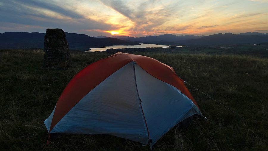
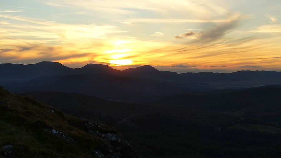
Here I saw the camera error message and prayed that the problem had only just appeared, but hope was in vain: the previous shots from the day had not been stored. This is the only photo from that day, at least it's a good one of a pleasing sunset pitch against the Snowdonia mountain backdrop.
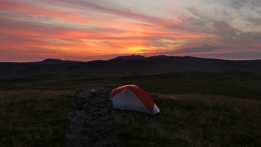
The sunrise sky surpassed the sunset of the previous day in glowing reds and oranges and I carefully checked the camera from the outset.
The next objective Llyn Gelli-gain lies to the south-west beyond a trackless shallow valley where I picked my way down the slopes and over the lower shoulder of the prominent hill Craiglaseithin to arrive above the lake with the Rhinogydd on view in the background. I descended to the shore and picked up a thin path around to the old dam at the south-eastern end.
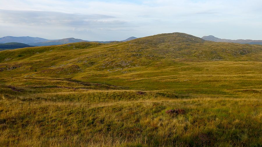
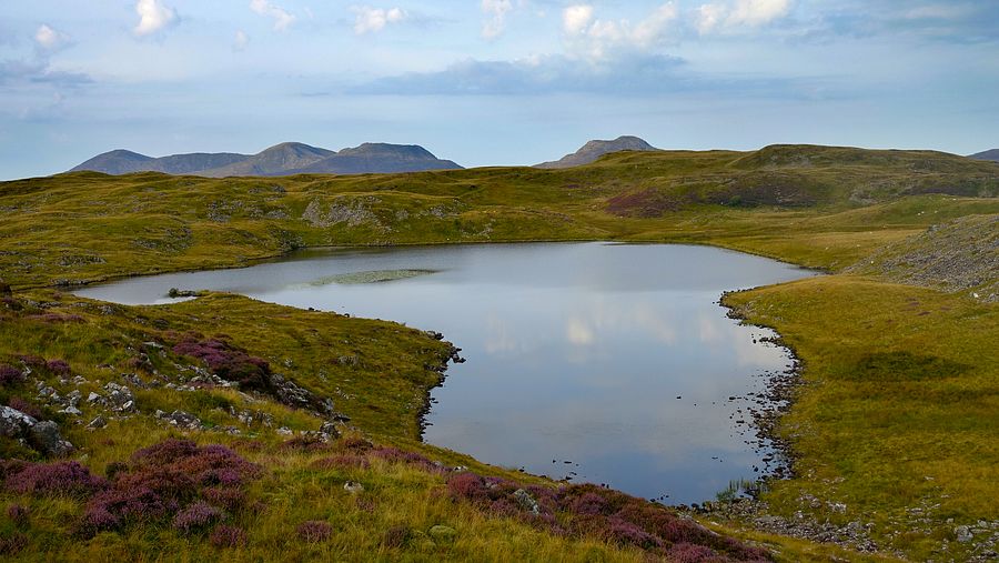

Leaving the shore path I ascended eastwards a short way to gain a vantage point and plot a line south-eastwards down the rough grassy slopes shadowing one of the streamlets to the minor road. Here a cycle event was presumably underway, wave after wave of cyclists passed me as I walked north-eastwards to the bridge over the Afon Gain. Just after crossing the bridge there is a ford across the Nant Ganol, easy today on the boulders.
The easy ascent from the road to the 380m contour is at a civilised angle on a tarmac access track with spacious views of this rough grassland. Things changed abruptly around the high point where I turned to follow the fence eastwards towards a new 500m summit Bryn-pig. Descending to cross a tiny stream and ascending to a fence junction was a slow and laborious effort on tussocky ground through dense reedbeds and seemed much longer than it really was. The effort continued beyond the junction and over the shoulder of the next rise until I spotted an old quadbike line following the wall along the southern edge to the next junction. From here a thin path has been forged northwards to the summit, presumably by hill baggers from the nearest road access point to the south.
As expected Bryn-pig has decent views comparable with other high points hereabouts but is otherwise a totally unremarkable summit.
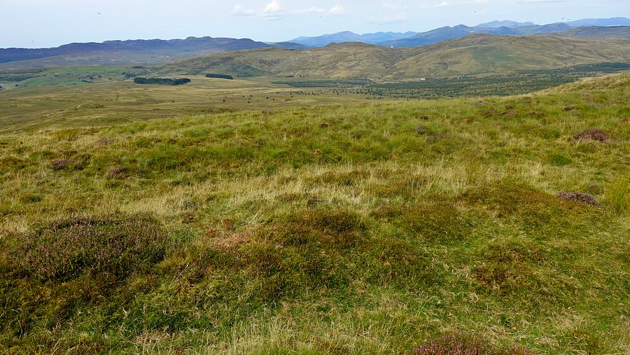
Continuing eastwards and crossing a couple of fences I arrived at the ladder stile on the footpath above Cwm yr-Allt-Lwyd. Rather than follow this footpath, I dropped directly down the slopes to very the rough and often boggy valley footpath that follows the Afon Bryn-llin-fawr to the farm and its access track that provides an exit.
On our trip here last year, we crossed the river bridge to investigate the byway that runs eastwards along the forest boundary but immediately rejected it when we saw the horrendous morass at the start. I thought we gave up too easily on that occasion and I decided to give it another try. That unspeakable quagmire was even worse than I remember but I scouted around and found that it could be bypassed: just above on the left a short forestry track got me past the worst of it and some deft manoeuvring at the base of the trees saw me through to firm ground where, surprisingly, it turns into a very pleasant and easy woodland path. Reaching a gate at the eastern end, there is another very muddy patch that is also easily bypassed.
Emerging onto open hillside, I simply had to drop down to the footbridge and ascend to the unfenced valley road, but the map suggested a curiosity: the public footpath coming down from the road opposite ends abruptly at the bridge… why?. Arriving at the old gated wooden bridge I saw that the first few planks were missing with their nails sticking out, no warning notices as one would expect nowadays. Anyway it was trivially easy to cross on the sidebeams.

A short walk along the deserted road brought me to the familiar footpath that zigzags up to the very rough hillside where it disappears on the ground. I tried to hug the stream as closely as possible in the tussocks and heather, laborious walking, and later crossed it heading for Rhobell-y-big. Reaching a fence a formidable sight confronted me: an ocean of rampant knee-deep heather, tussocks, hidden rocks and holes with the impressive cone of Rhobell-y-big rising out of it. There may be easier approaches but today I was here, I just had to knuckle down for it!.
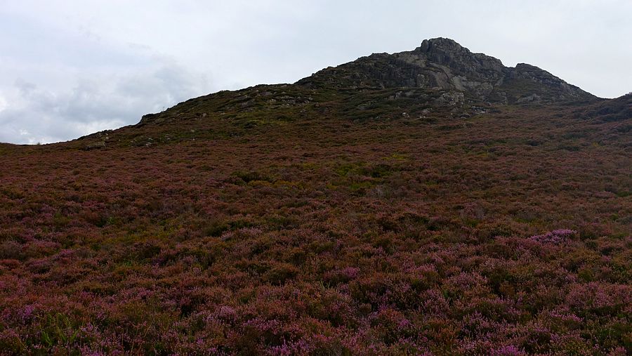
The distance to the foot of the rocks was not long but it took ages to traverse with every step needing careful testing. I chose a steep slanting line up a rocky heathery ledge, quite short but even steeper than it looked and requiring some scrambling moves at times, before I arrived at the bouldery top with hands stained purple from clutching at the odd patch of bilberry. This is a splendid rock summit whose atmosphere photos can't capture, among the best in Wales and I reckon I'd earned it!.
The descent southwards is easier than the large rock slabs in the photo suggest, clambering down the rocks and using little sheep trods in the heather.


On the descent I plotted a rough line across the potentially boggy ground towards Rhobell Ganol. There was no difficulty today in these generally dry conditions and I ascended easily to a cairn where I made a reasonable pitch. The cairn is not the highest point though, that lies on a small rise at the southern end of the undulating summit area. Conditions were rather grey and dull, they would be better for a pitch photo next morning.
Having decided on a 4-day timescale and considering pitch possibilities, today was to be the time-stretcher: just a partial traverse of Rhobell Fawr to last the whole day. Conditions were brighter than last evening and I took a pitch photo.

Descending southwards there is intermittent boggy ground to negotiate to reach the head of the Nant yr Helyg at the foot of the slopes of Rhobell Fawr. I passed the remains of an old dwelling no doubt sited to take advantage of this reliable water source.
Nearing the summit I stopped to potter around a couple of the numerous craggy outcrops hereabouts and found a grassy seat complete with rocky backrest. When the sunshine finally prevailed I got up and walked to the trig point.
I took a long slow saunter down the south-west ridge and explored for a pitch spot, finding a great one near a rocky tor. I was again blessed with a pretty good sunset over the Rhinogydd ridge.
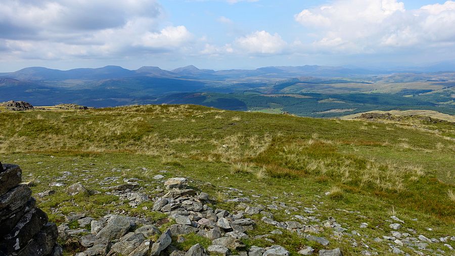

I set off down the path to Bwlch Goriwared on a glorious clear morning with the colourful heather and rocky edges of the distant Cadair Idris ridge highlighted in bold relief. The loose stony track at the bwlch is not the best for walking but soon I left it for the excellent grassy path through Garth Fawr woodlands to Llanfachreth. I took the minor road south eastwards to link to another good woodland track around to the foot of Foel Offrwm.
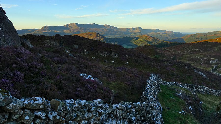
The usual signed ascent route to Foel Offrwm is on a higher parallel track and I climbed up to it at the first opportunity. The path arrives at a marker stone indicating the ascent path to the right and the horizontal path that goes around the girth of the hill straight-on. The ascent path is an excellent one, zigzagging uphill and passing a park bench with a view over the Mawddach estuary to arrive at the cubical block of stones at the summit.
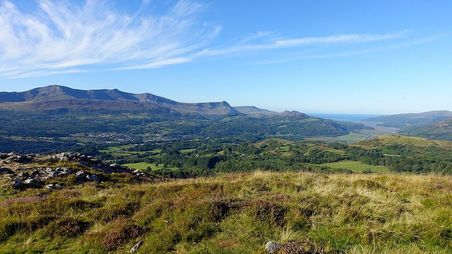
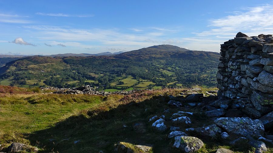
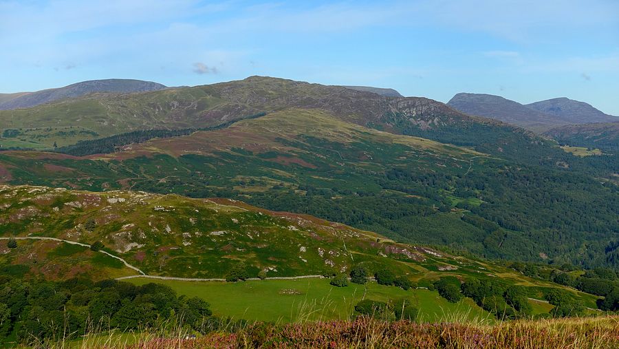

I surveyed the southern slopes to see if there was a clear descent line to join the encircling path and make a traverse of it, but I couldn't see one and there was much potential for difficult heather on very steep slopes, so I retraced my steps down the ascent path and continued to the car park (public toilets and bin).
I then followed the same route as on our last visit, down the road to Nannau Park and through the grounds to rejoin the road. For the final descent to Dolgellau, this time I chose the public footpath from the RUPP at Tyddyn-bach (SH 73165 18914), which was fine but seems to have been rerouted to join the footpath a little farther west as shown on the interactive map linked above.