| OS Route Map → | GPX Route file → |
Date: 04 Jul 2003
Start / Finish: Hallthwaites. Parking area by the school 178885.
Map: Outdoor Leisure 6 English Lakes SW Area.
| Day 1 | Millom coast & Townend Knotts | 16 miles / 1290 feet (25.8km / 393m) |
| Day 2 | Black Combe & Stoupdale | 6 miles / 1230 feet (9.7km / 374m) |
We had 1½ days to squeeze in a short trip and we decided to investigate the Cumbria coast for a change. The area around Millom looked the most promising from the map and it gave an oppotunity to make our first ascent of another Marilyn, Black Combe. The parking area fills up rapidly on weekdays, presumably with school staff. An alternative start is The Green about ½m down the A5093 where a footpath leads NE to join this route.
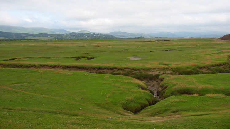
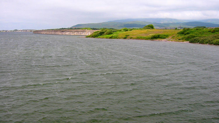
From the E end of Hallthwaites a footpath leads E and crosses the railway to join the Cumbria Coastal Way (CCW). Heading S to Millom this doesn't feel like a coast walk at all but rather plain grassland with the occasional deep channel betraying its true nature as salt marsh. We had the mini-binoculars on this trip but the few seabirds were still too far away to identify. At Millom the CCW swings E again where Duddon sands are now better seen. The old ironworks site here is being planted and maintained as a nature reserve, and the information board lists endangered species that it will help protect, surprisingly including the skylark that we seem to hear all the time. Arriving at Hodbarrow Point 183782 the CCW follows the Outer Barrier to the Haverigg side where a long very thin spit of land juts out into the lake. The SE half of this was densely covered with noisy nesting black-headed gulls.


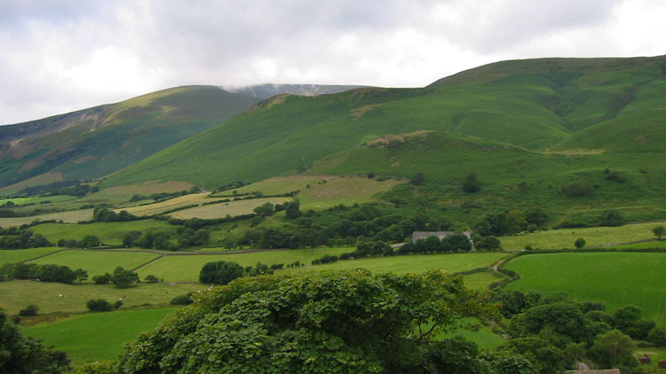
From Haverigg The CCW goes out vaguely onto the sands, it's a case of 'pick your own route'!. At first the the sea isn't even in view but eventually we joined the MHW line and walked by the sea on the pebbles, which is not exactly pleasant underfoot. Passing a windfarm you can see the tops of the blades over the dunes and this is the cue to look out for the footpath to Silecroft, which is a farm track about 0.3m beyond the last generator. Passing through Silecroft to the A5093 the path to Black Combe is joined where we planned to collect water at Moorgill Beck 131834; we couldn't see or hear any water flowing until the last moment but it was a good source. As the summit was still misted out we made a good pitch half way up on Townend Knotts.

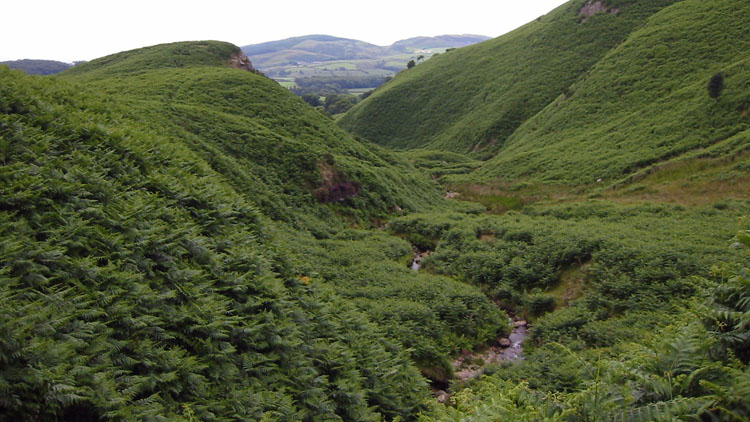
Climbing to Black Combe in mist was disappointing as the views are reputed to be great, but we'll be back. A path sets off NE but as it veered N we left it to keep close to the edge. The area was rather confusing at times in the mist but we arrived at Stoupdale Crags and descended SE to Stoupdale Beck with its little waterfall in an attractive valley. A footpath leads E over Baystone Bank to Hallthwaites.


