
| OS Route Map → | GPX Route file → |
| The Pike partial pan > |
Date: 29 Feb 2004
Start / Finish: Ravenglass. Update:- The good public car park is now Pay-and-Display unfortunately, it was free when we did this backpack.
Maps: Explorer OL 6: English Lakes South West.
| Day 1 | Muncaster Fell, Stanley Force and Hesk Fell | 15 miles / 3090 feet (24.1km / 941m) |
| Day 2 | Whitfell, Buck Barrow & Stainton Pike | 10 miles / 2060 feet (16.1km / 627m) |
| Day 3 | Yoadcastle & the Devoke Water fells | 12 miles / 1380 feet (19.3km / 420m) |
A circuit exploring the little frequented outlying fells in the far South-West of Lakeland - 15 tops from the Outlying Fells list.
From the back of the car park a footbridge crosses the railway line and turning R, the track passes the ruins of the Roman bath house. A little further on a track leads NE through the wood and turns L through Home farm to reach the A595. Passing Muncaster Castle, the Fell lane track climbs easily NE to the attractive Muncaster Tarn and a path soon branches L to the trig point, with a grand view inland to the mountains.

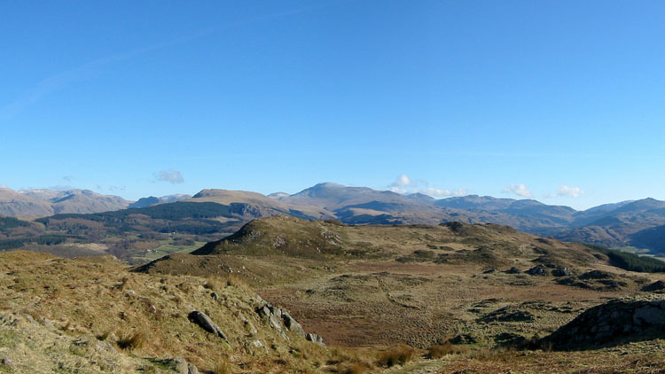
A good path heads eastwards and at the end of the fell, we turned R to Muncaster Head then L to Forge Bridge, where a woodland track gives easy walking to the foot of Stanley Ghyll. A stepped path climbs by the stream, crossing some footbridges over the narrow gorge to the base pool and fall of Stanley Force, which although small is beautifully formed in a rocky grotto. There is no onward route on this side, so returning a short way to the highest footbridge the path continues on the other side to the top of the wood, where it bends back R then L to a gate. Just beyond there is a good track that leads S to the buildings of Birkerthwaite.
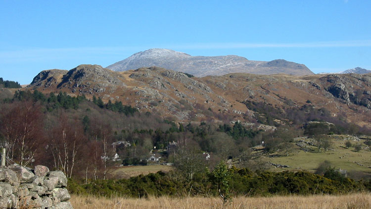

There is a public footpath continuing S from here over the rough pasture, but to save time we turned R to the unfenced fell road and walked on the grass verge to Crosbythwaite Bridge. Just beyond we took the signed bridleway SW and collected good water just past the waymarked gate in the first cross wall. Nearing the col we veered L to The Pike, which gives a good aerial view of the valley and is marked by a National Trust sign prohibiting access beyond the summit, though any continuation would probably be of interest only to paragliders!. Returning to the col a stiff grassy pull to the top of Hesk Fell and its tiny cairn gave us our first pitch, with the sun setting over the Isle of Man and casting an orange light on the mountains and the hard frost.
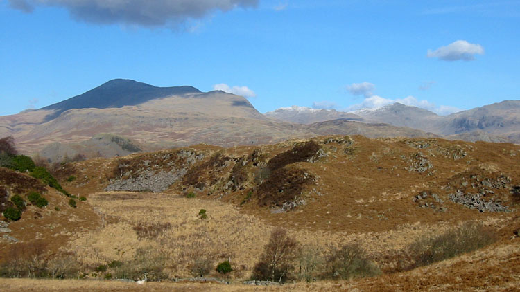


After a clear dawn, we set off along a cart track that initially parallels the fence and soon curves down W to the saddle and part way up the other side. Crossing a low fence and aiming for a rocky outcrop, we picked up a grassy path to the trig point and windshelter on Whitfell for another extensive distant view of the mountains. The path continues SW to contour the hillside and climbs to the fine rocky summit tors of Buck Barrow.

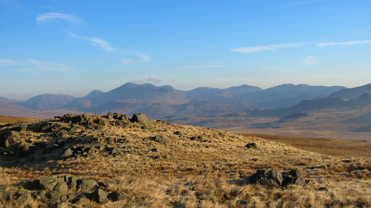
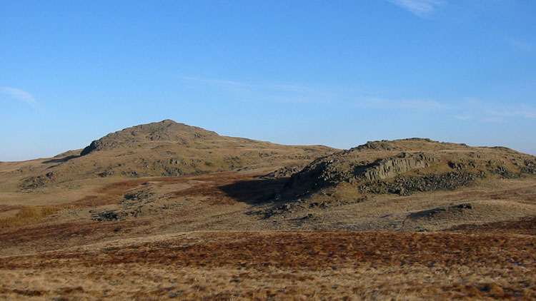


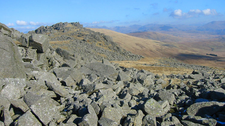
Descending by a wall southwards to the minor road, we climbed the short rise to Stoneside Hill and descended to a tiny conifer plantation at Black Dub, mainly to investigate the area for a possible future traverse from Black Combe, but it is not really attractive. Consisting of reedy and marshy pasture with old fences, there was no incentive to linger and we collected some water at a tiny streamlet flowing into the plantation.
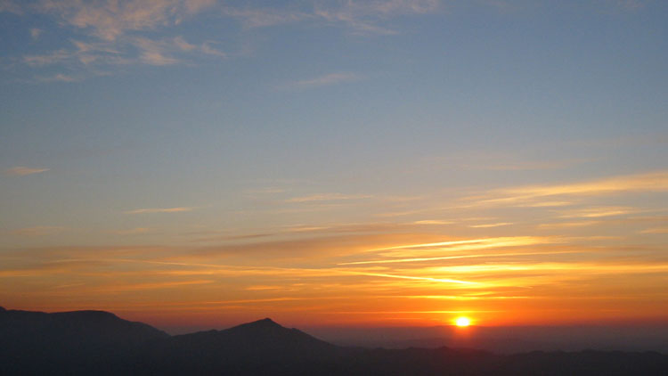
Returning along the wall, this time we kept L at the top for the short sharp climb to Great Paddy Crag and then crossed a wall to Kinmont Buck Barrow. Returning E to the wall we followed it down to the point where it becomes a fence and crossed to the infant Buckbarrow Beck, a reedy trickle that starts flowing lower down where it bends W. Having collected water, the easiest way on was to walk E to a path at the col and ascend to the flat top of Burn Moor. Descending NE on pathless terrain another thin path climbs from the saddle to Fox Crags and shortly Holehouse Tarn bursts into view. Crossing a fence, the last top of the day Stainton Pike is quickly reached and an easy walk NE brought us to our second pitch on the next outcrop, with a fine sunset over the sea.
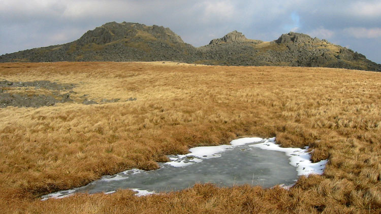


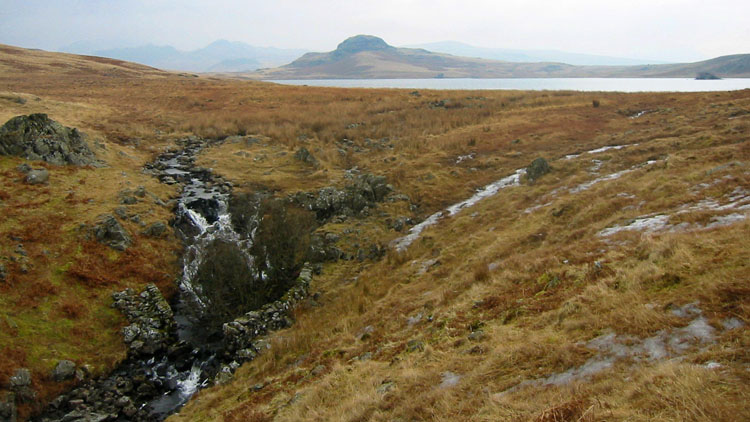
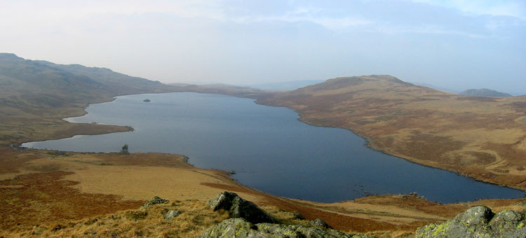
Despite another hard frost, the clouds had rolled in to the E at sunrise and we made the short climb to the rocky summit of Yoadcastle and then Woodend Height, where Devoke Water came into view. An easy walk W quickly brought us to the columnar cairn of White Pike with its fine views. Descending steeply SW, we picked up a path to the last top of this group, The Knott, lying SW across a broad depression. This is a great point to view the arc of tops just visited and in particular Stainton Pike. Returning on the path across the depression, we turned N and descended over trackless ground to a flat grassy saddle on the R of Birkby Fell then contoured around to Devoke Water.


Easily crossing the small outflow of Linbeck Gill, which nevertheless has created quite a gorge, it is easy walking to the first two tops of Water Crag and Rough Crag. A path leads SE to the surfaced bridleway track, where a small side stream provided some water, and we contemplated the ascent of rocky Seat How. A direct assault would have been the most interesting way - but not with backpacks!. Keeping to the L up slanting shelves turned out to be a steep but easy route and the summit must surely be the definitive view of Devoke Water. Returning the same way to the track, it leads down to the boathouse. Easily crossing the small inflows, the bridleway is clearly defined and follows the shore, but near the W end we detoured L around a boggy area and rejoined the line near the prominent cairn. From here the line is not in doubt as far as a fork at 136959, where we walked R to the settlement foundations of Barnscar.
Walking W to the wall gate on the footpath at 129957, waymark posts lead W up to the next wall where the path SW was signed but our path NW on the far side was not - the gate in the wall had probably not been opened for years. From here, a map showing field boundaries is required to stand any chance of reaching the A595 without bogs, barbed wire and loss of sanity:- heave open the gate and ascend NW diagonally up a field of dense bleached white tussocks, over the brow and down to a wall junction. This has wire netting with a post hanging from it - clamber over this and continue diagonally in the same direction on more trackless terrain to another wall junction where there is an unhinged farm gate tied up loosely with a coil of wire. Climb this and maintain direction to a fence and there in exactly the right place is a stile. A little beyond at the trees, bear right to follow the wall steeply down, it then bends L and a short way further is a stile. Finally curve down around the gorse bushes and near the bottom bear L to a footpath sign on the A595.
Crossing the Esk on the road, the Cumbria Coastal Way (CCW) leads L through the grounds of Muncaster Castle in attractive woodland beside the estuary to a choice of routes near the SW end: one is the track that leads NW past the Roman bath house, the second heads W under the railway line then N along the beach. A third shoreline route is subject to tides (a tide table is attached to the information board) and later joins the second route N along the beach.