| OS Route Map → | GPX Route file → |
Date: 21 Aug 2004
Start / Finish: Ingleton. Good roadside parking.
Maps: Explorer OL2: Yorkshire Dales South & West.
| Day 1 | The Ingleton Falls, Great Coum & Whernside | 14 miles / 3980 feet (22.5km / 1213m) |
| Day 2 | Ingleborough | 9 miles / 1590 feet (14.5km / 484m) |
A brief window in a spell of very wet weather prompted us to revisit the waterfalls, as a prelude to this short circuit of the mountains North of Ingleton.
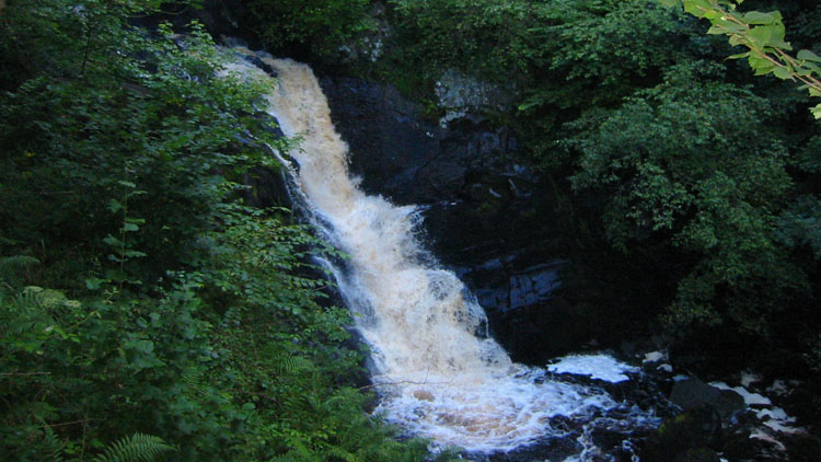
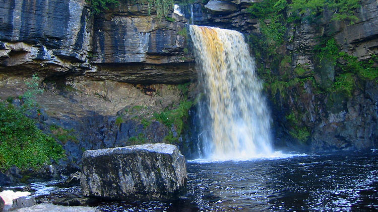
The 'Waterfalls Walk' signs lead to the car park at the foot of Swilla Glen, where there is normally a fee for access to the private path to the falls, but as on our previous visit when we arrived fairly early (about 08:00 today), the kiosk was closed and the entrance gate to the car park locked. However the exit track on the R of the kiosk is not barred and, as before, we entered there and passed the notice that proclaims 'This walk is strenuous and in parts dangerous...', which says far more about the state of the nation than the route, that leads up the attractive wooded glen to Pecca Falls. A series of steps with handrails give an unwelcome air of man-made interference, but make progress almost effortless and give good views of the falls, which although a fine sight, were again not quite as vigorous as we expected given the flood-volumes of recent rain. One wonders what conditions are necessary to make the level approach the high water line. Emerging from the trees, a far more unwelcome addition to the glen insults the eye - an incongruous refreshment hut. Moving on, the largest fall of Thornton Force is soon reached.


Climbing to the top of the fall, the path crosses Kingsdale Beck at a footbridge and climbs to the public footpath. We decided to visit Beezley Falls at this stage, rather than on the return leg when it would probably be swarming with Sunday tourists. Walking E along the farm track, the well-signed path departs R through the buildings to the falls just beyond, where another man-made walkway facilitates progress and viewing. Returning along the track, an unsigned grassy track slants up Twisleton Scar to a ladder stile onto the footpath along the quiet and little frequented Kingsdale. The path disappears approaching Braida Garth farm, but a finger post at a small gate between the buildings directs the way diagonally across a field to a footbridge over Kingsdale Beck and onto the valley road.


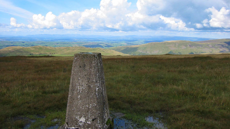
Walking up the road to Yorda's Cave, a party of cavers were entering as we put on our head torches. We were hoping for a better view of the inner waterfall chamber that we saw on our last visit, but our batteries had depleted and they were too feeble to progress any further than the low entrance section, the light being totally lost in the main dank cavern. Climbing up on the R inside the wooded enclosure, we crossed the tiny stream at the top by a fallen tree to gain an exit at a low fence. We left the next field at a gate and veered L to converge gradually with the wall that climbs steeply to a stile, where the trig point on Gragareth lies a short way SW with a view of the Lake District mountains and Morecambe Bay. Returning to the stile, we squelched along by the ridge wall on the W side, traversing Green Hill and ascending to Great Coum, where the Howgills come into view.


Descending steeply E on the L of the wall with grand views of the dale, the Green Lane track can be seen below. Near the bottom, the wall becomes a fence which we crossed to join the track a little further SW at an untidy sort of gate. A nearby stream gave us a supply of good water. The horribly eroded track curves around eastwards and improves eventually before joining a minor road. Walking S to the head of Long Gill, a path climbs E steeply to a cairn and on to the trig point of Whernside with its extensive views, where we made our pitch.
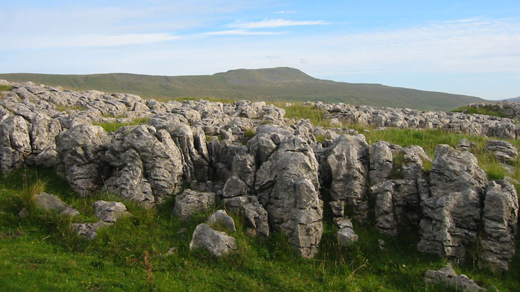
A clear morning gave us a fine stroll along the ridge before descending the repaired path to Philpin Lane and the B6255. A short climb L up the road is the main path to Ingleborough, which passes through attractive limestone pavements and has wooden boards and paving over the wet bits. Climbing steeply up the escarpment, the small stream was flowing well right to the top and gave excellent water. At the cross-shaped windshelter we sat and enjoyed the fine views, until a particularly bold Swaledale sheep stood on our toes to gain some height and help herself to our flapjacks, licking our faces to get the last crumbs. Descending the main thoroughfare SW, we passed the expected Sunday groups trooping up and arrived in Ingleton around lunchtime.


