Dates: 10 - 13 May 2005
Another coastal trip for May, the best time for observing the seabirds. We studied the logistics of a continuous backpack along the NE coast in the Borders region but it was beset with problems, involving long demoralising road tramps especially around Holy Island. We decided it was best tackled as a series of day walks, travelling by car between them and using the backpacks to walk out to a wild pitch for the night. This enabled us to walk the best parts of a much longer stretch of coast, ranging from St. Abb's Head in Scotland to Flamborough Head in Yorkshire. We had virtually unbroken sunshine every day.
Tide information: Easytide - UKHO Free tidal prediction service
Maps: Explorer 340 Holy Island & Bamburgh and Explorer 332 Alnwick & Amble.

This coastal section is very easy walking on expansive sandy beaches, with castles and harbours to add interest. We parked in Craster car park adjoining the Tourist Information Centre just before entering the village - this is the only public parking allowed, but is well priced at '1.50 for the day.
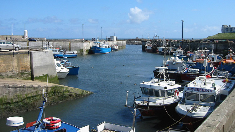
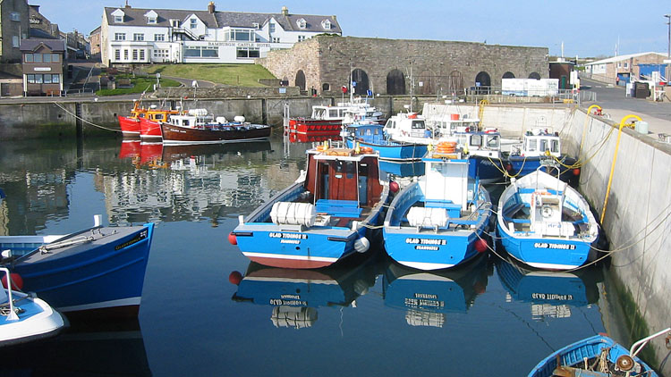
Having made good time on the journey up, we had an hour wait for the bus to Bamburgh (a 30 minute trip). This gave us time to potter around the village and harbour, with the air tinged by the pungent aroma of the fish-smoking house. Craster apparently has a wide reputation for seafood, but we had no opportunity to sample it on this trip.
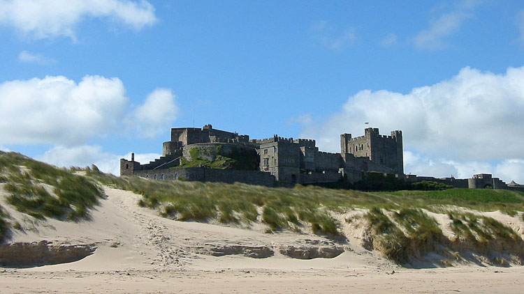
Alighting in Bamburgh, we made our way towards the castle (official website:- Bamburgh Castle), which dominates the landscape around the village and attracts many tourists. Following a path around the L of the castle, we gained the beach and the coastline stretched ahead S, and as on so many coastal walks the map was almost superfluous - we just played it by ear. We also kept a watchful eye on the coastal strip for a secluded tent pitch, though it would become clear later that the real problem was suitable parking.
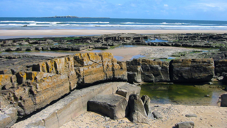
The Farne Islands are in view throughout this walk, and at Seahouses we enquired about sailings to Staple Island for the next day, which depend on weather conditions (see Staple Island description). Today was windy and there had been no landing, but we made a provisional booking in the hope that the predicted rise in pressure would materialise in time.
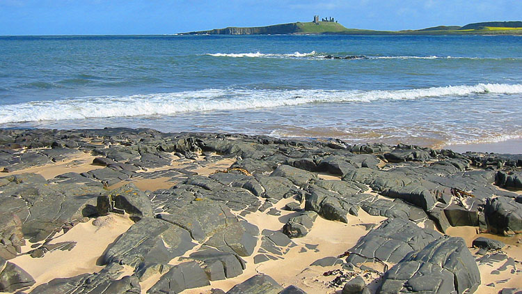
At Beadnell there is the harbour and a preserved limekiln, later used for curing herring. At Newton Point we noted the best pitch spot so far and rounded the headland to Embleton Bay with Dunstanburgh Castle ahead (National Trust property website:- Dunstanburgh Castle). An easy stroll led us back to Craster.
The car parks marked on the map at Newton Links (235260) and Low Newton (240248) are typical hereabouts - no overnight parking. Eventually we found a good place on the E side of Embleton where the road widens out and is signed as a car park, though not marked on the map (233227). From here the narrow lane E leads down to the golf club by the dunes, and a good footpath heads out around Newton Pool nature Reserve (public hide) to Low Newton-by-the-sea and on to our pitch near Newton Point.

Map: Explorer 346 - Berwick-upon-Tweed.

After an enjoyable morning walk along the beach route back to the car, we returned to Seahouses. The wind had eased but it was still fairly breezy and the boat crew were not hopeful of a landing on Staple Island, at least not on the 10:00 sailing. We changed our booking to the next morning and set off for Eyemouth. There is a good free car park on the E side of the harbour inlet (946641).
The route includes the best section of the Berwickshire Coastal Path (BCP), a fine and varied undulating walk along clifftops and rocky shores to St. Abb's with much to see. The BCP turns inland here, but this route continues to culminate on the seabird cliffs and stacks at St. Abb's Head. For the return we simply reversed the route.
The BCP is signed from the bottom of the car park over a footbridge and around the inlet to the W side, amid the trappings of a busy fishing harbour - nets, ropes and hoisting gear. As on day 1, we seldom looked at the map and followed our instincts to gain the BCP near a caravan site. The walk begins in earnest at a pair of old cannons pointing seaward on a promontory, and the grand prospect towards St. Abbs comes into view. The good path leads around rocky coves and descends to the beach at Linkim Shore, then climbs out to Yellow Craig Head. It leads around Coldingham Bay to enter St. Abbs.
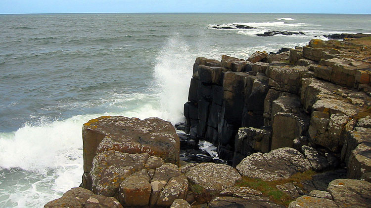
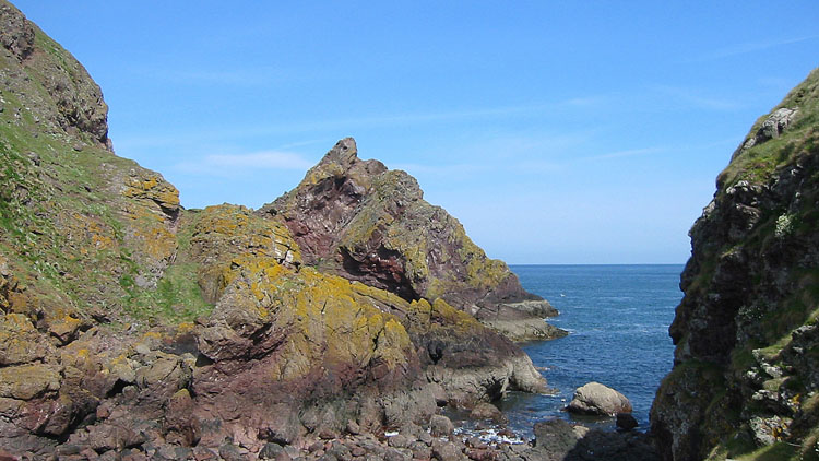
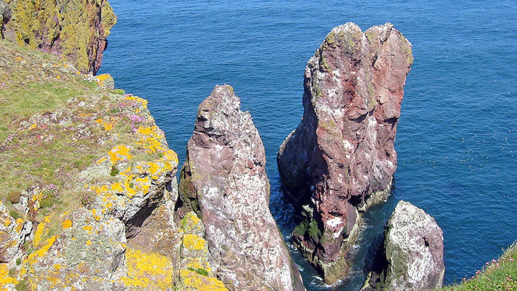
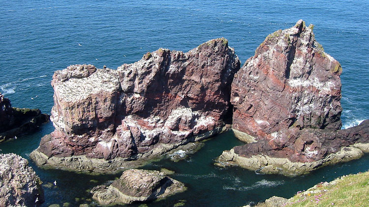
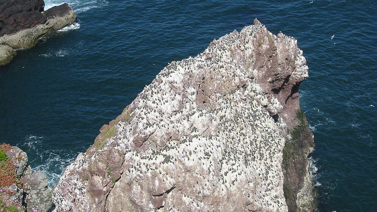
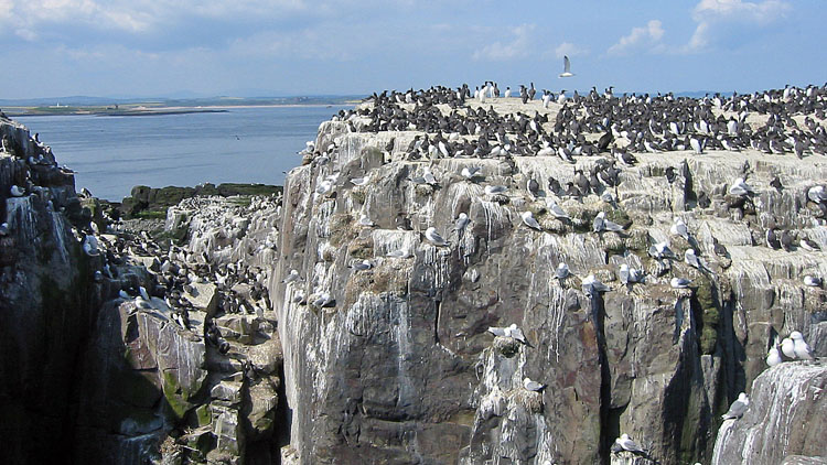
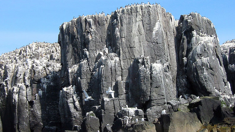
At St. Abbs, the way on to St. Abb's Head is not at all obvious: walk W out of the village up the B6438, and where it levels out there is a signed footpath on the L inside the wall. Where this emerges back onto the road, the path to St. Abb's Head is directly opposite. The path ascends around Starney Bay, descends to a valley and climbs gently around the slopes of Kirk Hill and on to the lighthouse. The interest mounts as the main breeding area is reached on the northern side, with colonies of seabirds thronging the cliffs and rock stacks.
Returning by the same route, we then drove back to Embleton and used the same pitch spot as the previous night.


Map: Explorer 340 Holy Island & Bamburgh.
| Staple Island description → |
Lindisfarne website: Lindisfarne
Safe crossing times for Lindisfarne causeway: Safe crossing times
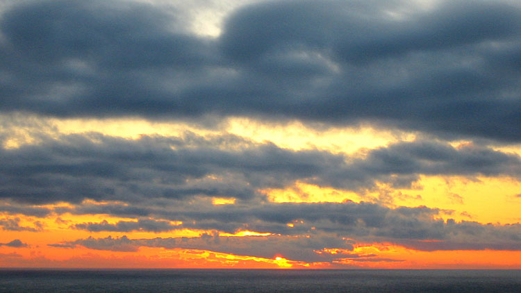
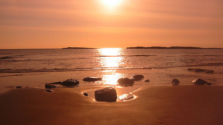
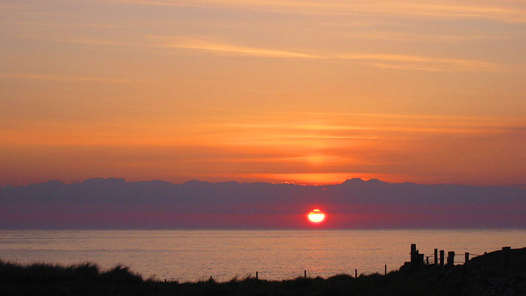
There was a lovely sunrise from the morning beach walk. Back at Seahouses the wind had dropped and we had a landing at Staple Island (see description link above).
On return, the safe crossing times gave an opportunity for a quick look at Lindisfarne priory and a walk out to the castle. Another magnet for tourists, the huge car park at the W end of the island is about a mile from the castle.
Although historically interesting, we found the area strangely lacking in atmosphere, and the most memorable aspect of the brief excursion was the causeway: driving along the middle of this vast tidal flat was quite peculiar. We note that the 62-mile St. Cuthbert's Way follows this road and ends at the priory, and although you can walk off the road, it must be a really monotonous grind at the end of the route.
We drove down to Filey for the last night and parked on Filey promenade (free). We walked out to the pitch spot at North Cliff that we used on our Cleveland Way trip.







Start: Bridlington promenade (parking 70p per hour).
Map: Explorer 301 Scarborough, Bridlington & Flamborough Head.

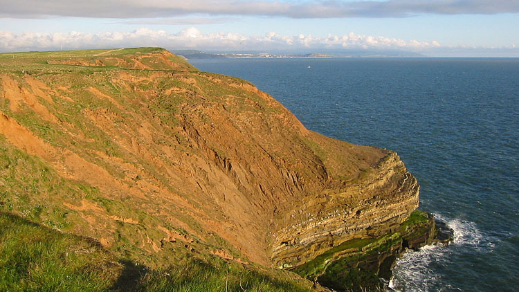
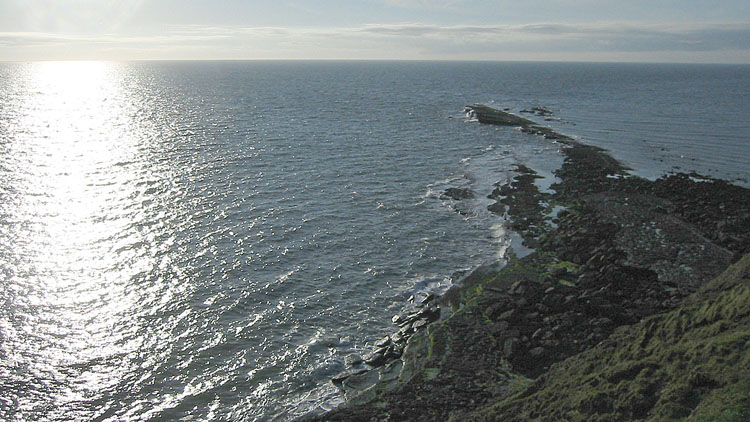
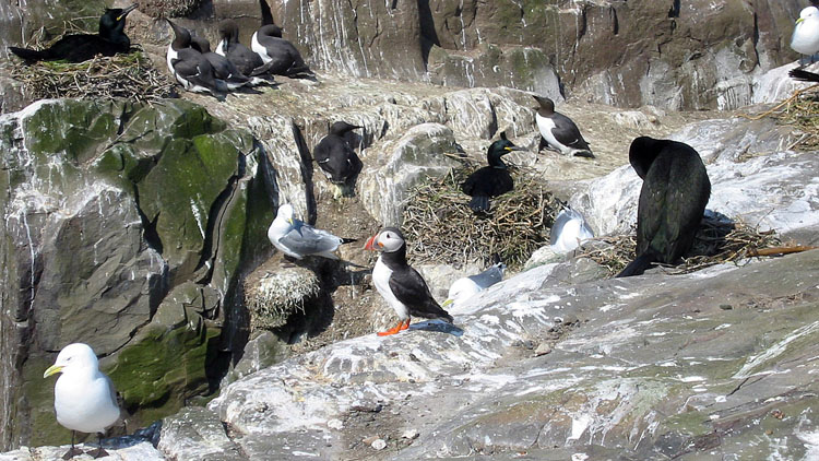
It was a lovely walk out to Filey Brigg in the early morning light before setting off for Bridlington. From the promenade we walked NE past the coastguard station and followed the Headland Way, a waymarked route that follows the coast to Filey. The path is at first lined by personal memorial benches on the clifftop and later dips down steps into several small deeply cut valleys on the way to Flamborough Head. This is a delightful headland with limestone cliffs, stacks and arches, though far fewer seabirds than St. Abb's Head. We saw 2 pairs of puffins here, the first time we have seen them on the mainland.
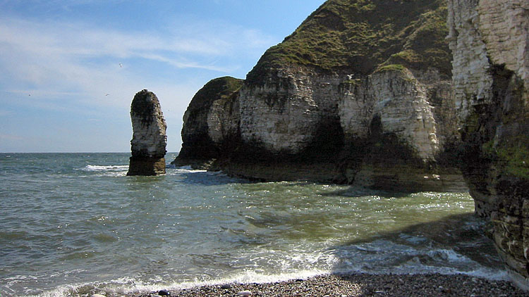
High Stacks is an impressive formation, joined to the shore by a thin strip of rock and with an arch. At Selwicks Bay we descended to the beach of smooth white rocks enclosed by the cliffs, a delightful spot with a sea stack just offshore.
From Stottle Bank Nook we reversed the route, except that at Danes' Dyke we followed the short sculpture trail inland before descending to the RNLI station. There is an interesting large metal footbridge on the trail in the shape of the ribs of a whale, with the name of a whale species engraved on each rib.
