| OS Route Map → | GPX Route file → |
Date: 19 Feb 2006
Start / Finish: Staveley.
Maps: Outdoor Leisure 5 & 7: English Lakes North-East & South East.
| Day 1 | Harter Fell & Branstree | 11.7 miles / 3300 feet (18.8km / 1005m) |
| Day 2 | Bampton Common & High Street | 12.4 miles / 2910 feet (20.0km / 886m) |
| Day 3 | The Ill Bell ridge | 8.8 miles / 1190 feet (14.2km / 362m) |
A circuit around the Kentmere and Haweswater Fells in mixed but dramatic weather: clear sunshine, strong winds and vicious snow showers. The turbulent light variations produced some superb sights on the recent snow caps of the high peaks.
Crossing Barley Bridge, the lane leads N towards Park House and becomes an easy track that heads over the expanse of Staveley Fell and Green Quarter Fell, passing Skeggles Water below. It was clear and breezy in the sunshine in this quiet and attractive area, but we noticed the signs of rapidly changing conditions on the high tops ahead, which was to set the pattern for the next three days. Just after passing through a wall on Cocklaw Fell at 477039, a thin path climbs N alongside the cross wall to a stile and descends N to the byway.

A good path climbs to Shipman Knotts and onto Kentmere Pike, where the Ill Bell ridge was still in sunshine and we saw the snow caps of the more distant peaks which were more extensive than we expected. Approaching Harter Fell the mist closed in on the summit but cleared beautifully just as we arrived at the cairn, giving fine views of High Street and revealing the first of the dramatic light contrasts of the trip, with the gleaming white snow against the dark distant clouds. At Gatescarth Pass, we descended a short way to collect water and resumed the route up to Branstree but the mist had closed in again at the summit trig base.


It remained rather gloomy as our route took us past the tall cairns on Artle Crag and between the frozen tarns below Branstree NE Top, but this area was now clear of mist. There is a thin path to the NE top and onto Captain Whelter Bog, which is not particularly boggy and was frozen today anyway. A short climb gains Selside Pike, the last mountain of the day. The forecast had predicted stronger northerly winds for the next day and we pressed on to more sheltered lower ground near Woof Crag, a rock outcrop on the N side of the Old Corpse Road.

It was grey and overcast at dawn but the tops were clear, at least for a short time. Arriving at the minor top of Hare Shaw, the distant peaks were engulfed in mist but it was locally clear. We followed a grassy track that swings R near Powley's Hill and descends L to join the main track alongside the intake wall, and by this time the mist was down to valley level and it snowed for a time. It seemed like the sort of day that couldn't possibly redeem itself, but later all would be forgiven. The unsigned bridleway to Naddle Farm crosses an almost dry ford and joins the farm track to Naddle Bridge, and at Burnbanks the cloud and mist had broken up.
Today we explored a new route up to the Roman road ridge, a path which climbs initially NE around the shoulder of Burn Banks and turns W through an attractive area of rock outcrops and minor hills. Several grassy paths wend their way through this area but we aimed for the most prominent track, which later passes a cairn overlooking Haweswater and swings wide around a marsh and Little Birkhouse Hill. The main track can then be clearly seen higher up on the shoulder of the unnamed hill (spot height 489m). Climbing to join this good track, it gives an excellent promenade with a fine view of Haweswater initially, then ascends gently over the vast grasslands high above Measand Beck all the way to the summit ridge, emerging just N of the incised ravine of Keasgill Head. This was the beginning of the snow line on the Roman ridge.

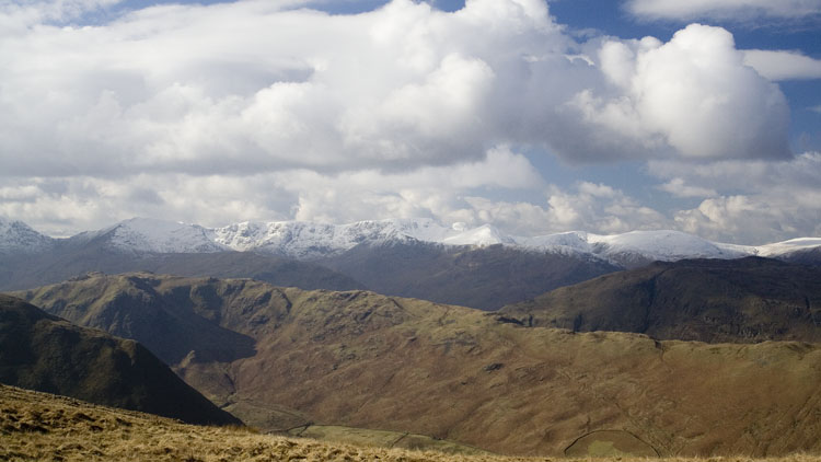
After collecting water a short way down the ravine, we could admire the array of snow covered peaks to the W, now resplendent in the sunshine. Walking along the windy ridge to the frozen Redcrag Tarn, we could now see curtains of snow showers falling amid the sun and clouds to the W and patches of dark grey in the NE - it would be our turn before long. Approaching High Raise, the crisp snow was deep enough to give the first taste of a real winter walk this year but just yards before the summit, a strong stinging snow shower engulfed us and visibility was gone. A few minutes later in equally dramatic fashion the view was restored and we climbed to Kidsty Pike and a fine prospect of the High Street cliffs.


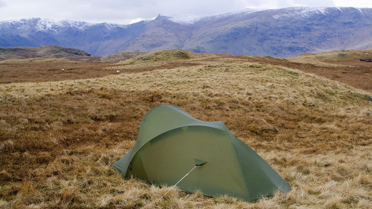
Pausing to rest on the final climb to High Street, we were reminded how a stunning sight can come and go in seconds. Behind us were sunlit golden slopes, the gleaming white of High Raise and a dark leaden sky with white wisps of cloud. We just captured it but the photo doesn't do it justice, it had to be seen. Then we remembered that the dark clouds were heading our way. From beauty comes the beast, and at High Street summit it hit with a vengeance and we staggered down to the col to escape most of the wind and find a pitch. We found a very good spot and the snow stopped in time to reveal the sun sinking behind Thornthwaite Crag.


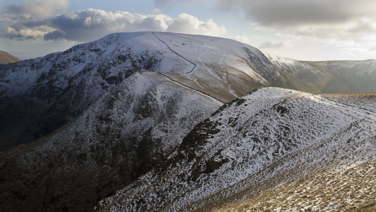
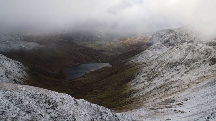
There were more snow showers in the night and we opened the door to a world of white: visibility of just a few yards and snowy grass with thick windswept fans of frost. The tent had shed the snow very well as always. Setting off on the thin sheltered lower edge path to Froswick, there were occasional glimpses of Kentmere reservoir below as the mist came and went. Joining the main ridge path, the wind was a lot stronger than yesterday as the snow showers resumed, driving the stinging snow horizontally over the edge and forming whirlwinds of spindrift on the slopes and tops. At the col we could barely stand against it and we reluctantly took the very thin contouring path on the lee side of the mountain. Even this option was never less than interesting as occasional freak gusts threatened to lift us off the ground, and the mountainside falls away around 1200 feet to the valley below. If the snow had been thicker and compacted, this would have demanded ice axes. The route did however present an unusual viewpoint for the shapely slopes of Ill Bell.

Rejoining the main path beyond Yoke, we descended to Garburn Pass and climbed the minor top of Sallows. Descending SE past the stone butts, we followed a small stream S through a gap in Long Crag to the bridleway track and sheepfold at 443027. An easy track leads SE by Park Beck and crosses it at good stepping stones, then crosses Black Beck by a stone building to arrive at Ullthwaite Bridge. A bridleway heads S to Browfoot and the lane that follows the River Kent SE to Staveley.
