
| OS Route Map → | GPX Route file → |
Date: 03 Oct 2006
Start / Finish: Llanidloes. Free car park in the town by the river.
Maps: Explorers 214 Llanidloes + 215 Newtown + 213 Aberystwyth.
| Day 1 | Llyn Clywedog | 9.0 miles / 2275 feet (14.5km / 693m) |
| Day 2 | Foel Fadian & Carnfachbugeilyn | 13.0 miles / 2290 feet (20.9km / 697m) |
| Day 3 | The Severn Way | 11.5 miles / 790 feet (18.5km / 240m) |
A mid Wales circuit to the source of the Severn near Pumlumon, following Owain Glyndwr's Way (OGW) from Llanidloes to Glaslyn via Llyn Clywedog and returning on the Severn Way.
The route was planned to culminate at Pumlumon, but atrocious weather on the morning of the third day made a quick descent on a relatively sheltered return route a much better option.
OGW and the Severn Way leave the town together and diverge higher up in the wood near the golf course. The north-westerly weather stream had cleared the air nicely for the pleasing general views of rolling hills and valleys that characterise much of OGW, together with the almost total lack of people.

Approaching Llyn Clywedog, the mighty dam comes into view and the path descends to the preserved ruins of the Bryntail Mine at its foot, where the various buildings and workings of the mine are accompanied by explanatory boards. The path crosses a footbridge and climbs a minor road to the dam overlook point and viewing parapet, where an information board explains that this is a 'round-headed buttress dam'. From here the heavy industrial atmosphere of the dam wall that was so stark from below was dispelled by the lake and surrounding hills.


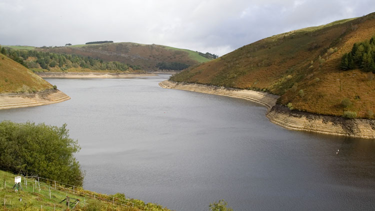
OGW climbs over the headland to the next tentacle of the reservoir. There is an access track to a jetty here and a number of small sailing craft, while a group of people had arrived and were about to take to the water. Just after here the drizzle started and muted the view, but it stopped as we reached Nant Croes. A tiny side stream provided very good water for the final climb to the far side of the forest and our first pitch. The local bright sunlight contrasted starkly with the dark clouds over Pumlumon that were heading our way and the tent was pitched before the light rain arrived.


Dawn was clear and it would be a fine day with clear distant views. OGW is generally very well signed here but there is the odd glitch, one of which is at Nant-yr-hafod farm: it deviates from the mapped line and is signed to follow a good track above the buildings past an old small quarry. A short way along the track at 873914, descend diagonally R to an unmarked gate in the middle of the field and join the mapped line on the E side of the fence. Higher open country is reached approaching Penycrocbren with expansive views, and once again a red kite put on a fine display very close to us.
The path converges on the cleft of the Afon Clywedog and descends to a small waterfall, while a thin side fall from the forest above yielded good water. An easy walk up the track past some old mine workings brought us to Glaslyn, lying in a windswept hollow and a site managed by the Montgomeryshire Wildlife Trust. We made an essential detour to the trig point on Foel Fadian, a short walk beyond the lake and a great viewpoint in these clear conditions yet seldom visited.

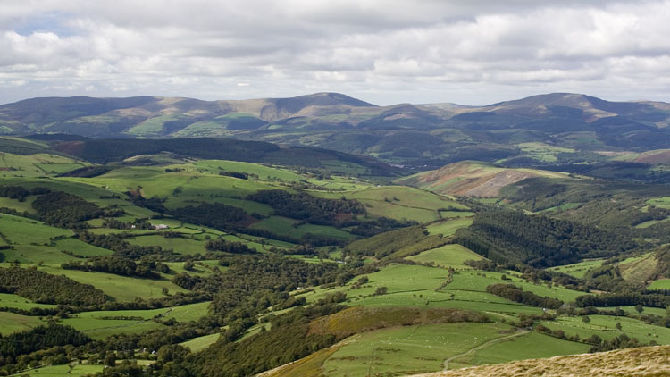
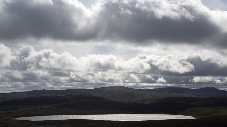
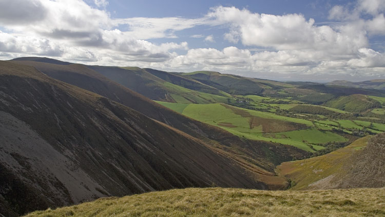


Returning past Glaslyn, the track continues southwards until Bugeilyn comes into view, and we left it here to contour around the upper slopes of Banc Bugeilyn which gave a fine view back over the lakes.We crossed the rough valley bottom to join the main ridge fence and the thin soggy path that tops out on Carnfachbugeilyn with its ancient cairn and splendid views to the North. We made our pitch on the grassy rise of Bryn Cras and again dark clouds appeared over Pumlumon, this time engulfing it as dusk approached.

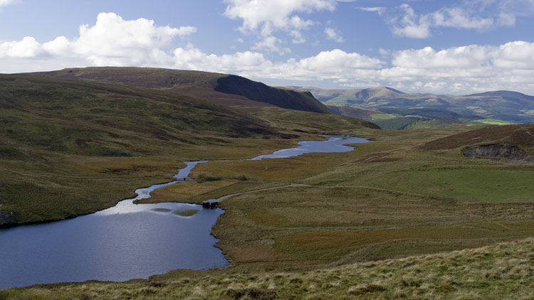


It rained most of the night and a strong wind developed by morning. The day would be wet with a capital W, the wettest day we have experienced in over a decade with unrelenting heavy rain and squally winds - no pictures today. Depitching the tent was a mixture of military precision and frenetic scrambling around, and we decided on a relatively sheltered descent on the Severn Way. The route past the source of the Severn to the Hafren forest has been laid with a good gritty path, and we were fortunate to have the driving rain at our backs. Clad in waterproofs from head to toe, it was an enjoyable walk alongside the infant river and its little falls, which were swollen by the rain as the river quickly gained strength.
We stopped to eat by an attractive fall with the rain teeming down even more heavily, only to find a wooden shelter with a couple of picnic tables a little further on. The path arrived at the car park area (toilets) and we had a brief rest out of the rain, while a group of sheepish looking people had arrived in a minibus and were standing around the flume on the river. We followed the Severn Way to Llanidloes, which is almost all on quiet tarmac lanes but very fast. At the car park the rain was lighter, but having peeled off the drenched waterproofs and stowed them as best we could, the wind caught the large trees overhanging the car and gave us one last soaking for good measure!.