
| OS Route Map → | GPX Route file → |
Date: 25 Feb 2007
Start / Finish: Broughton in Furness. Free parking in the village square, public toilets.
Maps: Explorer OL6: English Lakes South West.
| Day 1 | Stickle Pike & Caw | 7.0 miles / 2760 feet (11.3km / 841m) |
| Day 2 | White Maiden & Beacon Tarn | 13.6 miles / 2030 feet (21.9km / 618m) |
A forecast of two average days in a miserable rainy spell suggested a backpack at medium height, and the delightful Dunnerdale fells made an ideal approach to a circuit that culminates at White Maiden and Walna Scar.
A footpath leaves the square opposite the tourist information centre and ascends NE through East Park. An unsigned path branches off to follow the track to Lower Hawthwaite, made very wet and muddy by the recent rain, and it was a relief to join the lane to Broughton Mills. A good track ascends north-westwards and approaches the prominent Hovel Knott, where a clear path climbs to the trig point on Great Stickle. The forecast had been right and the high fells were misted out, while these fells were clear with the striking Stickle Pike ahead and a rather grey view southwards to the estuary and the sea.

The next objective was the collection of small tarns below Tarn Hill. The map shows eight of these, and pottering around the rocky knolls to seek them out is an enjoyable bonus to this attractive area. Moving NE to Hare Hall Beck, the outflow from Stickle Tarn, we followed it up to the tarn where there were already large clumps of frogspawn in the surrounding marshy areas, the earliest we have ever seen. The newts have certainly been busy in our pond since the beginning of February and the spring flowers have been early, but the frogs have not produced any spawn yet. A good path quickly gained the top of Stickle Pike, where the views had improved and some of the lower tops had cleared of mist.


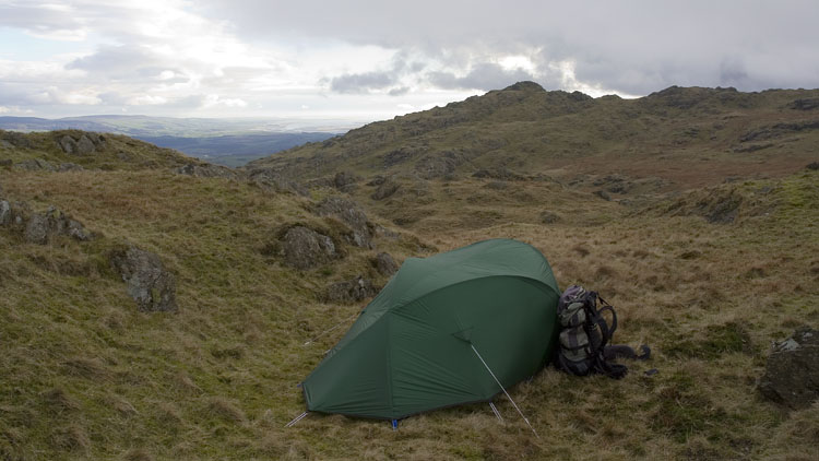
These fells would be less popular than they are were it not for the unmapped car park at Kiln Bank Cross, and there were people around on this Sunday. A good track leaves the pass road and climbs to the western foot of the imposing cone of Caw, and a stiff pull of nearly 800 feet gains the trig point. The views had improved again but the cold north-westerly wind was strengthening as we descended to the S of Pikes to collect water. This is a lovely area of rocky outcrops, grass and marsh with a fine sense of wilderness, and few indeed are the people who walk here. Climbing to the rocky top of Pikes, we spied a good grassy shelf sheltered from the main blast of the wind and made a good pitch.
The wind was really strong overnight and there was some heavy rain, but all the tops were clear soon after dawn. Surveying the possibilities for the climb of White Maiden, and skirting the northern edge of Caw Moss, we slanted up to a rocky rib on the SW slope and turned up a damp gully, initially a steep climb followed by a gentler ascent on grass to the summit. The forecast had been rather pessimistic for today and all the fells were crystal clear as we traversed Walna Scar to the old quarry track. It was a pity to be descending from the high tops so early on such a glorious day, but you win some and lose some.

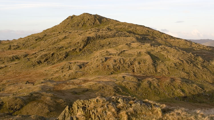
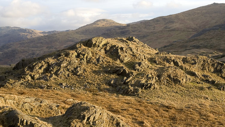
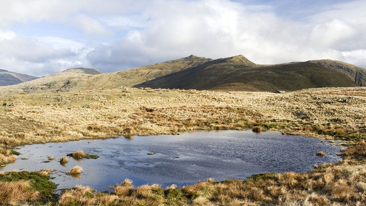

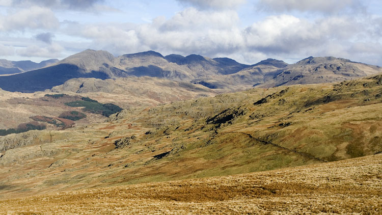
The Walna Scar track and bridleway SE past the old quarry chasms brought us to Torver. From the A5084 a surfaced track gives quick progress to Mill Bridge and the bridleway onto Torver Common and the reservoir, an attractive walk except perhaps for the intrusive telegraph poles that march across the land near the path. The Cumbria Way joins from the left and the path winds around the wet expanse of Stable Harvey Moss which looked quite vibrant in orange and brown colours. Climbing past a large bog to a saddle in the hills, Beacon Tarn comes into view and the path follows the western shore with Beacon Fell looking resplendent in the bright browns of the bracken.


Moving S below Wool Knott, we left the Cumbria Way at 274890 to follow the unsigned good bridleway track around the shoulder of Woodland Fell, another attractive and little walked section. With careful mapwork, footpaths and bridleways lead SW from the pass road via Thornthwaite Latter Rigg and Wall End to Broughton.