
| OS Route Map → | GPX Route file → |
Date: 02 May 2014
Start / Finish: Sedbergh.
Maps: Explorer OL19 Howgill Fells & OL2 Yorkshire Dales West or Harveys Superscale Yorkshire Dales.
| Day 1 | Cautley & West Baugh Fell | 7.8miles / 2291 feet (12.6km / 698m) |
| Day 2 | East Baugh Fell & Aye Gill Pike | 14.3miles / 1573 feet (23.0km / 479m) |

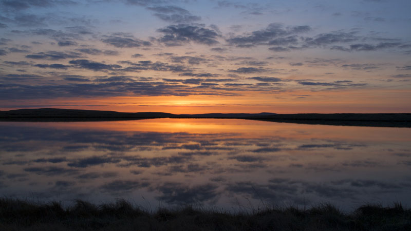
A 2-day circuit of the hills flanking Garsdale, a choice inspired by an overlap with a bank holiday weekend to avoid the influx of walkers to the well known areas - it was a good one in that respect, we saw nobody at all and the whole area was completely deserted. The tent pitch was an excellent one with a grand sunrise.
On the north side of Garsdale is the huge sprawl of Baugh Fell, home to two Nuttall 2000' summits and divided on the map into West and East Baugh Fell, and its vastness is readily appreciated on a traverse like this: usually with a total lack of people it is a study in serene emptiness. Dotted with small curricks, tarns and gritty outcrops with evidence of a few old workings, it would be more akin to its Pennine neighbours to the north but for the lack of heather: this is a landscape of moorland grasses and sphagnum presided over by skylarks, curlews and plovers rather than their ubiquitous grouse.
On the south side is the Marilyn/Dewey top of Aye Gill Pike (Rise Hill), a long shallow whaleback hill that could hardly be less like the popular notion of a 'pike'. This was to be the day of views, but apart from the brief dawn period the sky was grey and murky all day and the vistas very muted.
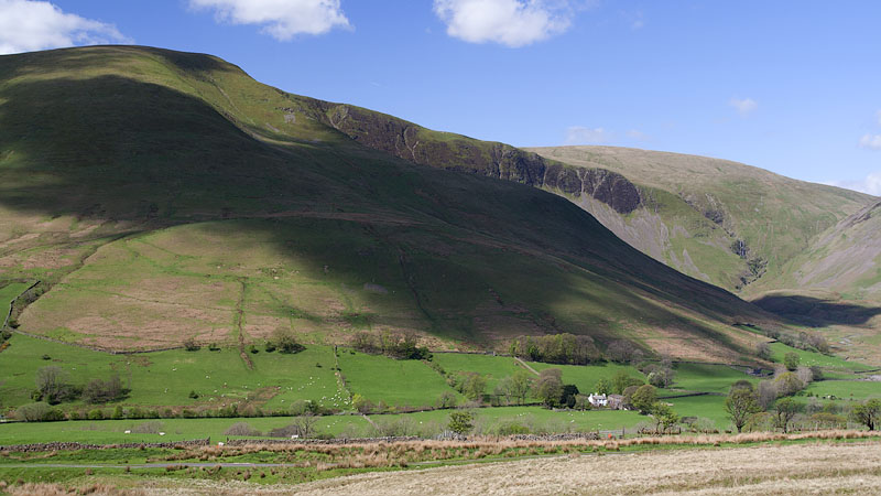
The hike NE along the valley begins at the Thorns Lane footpath at the eastern end of Sedbergh. Today this gave the leaden skies time to clear and the sun dominated as we approached Cautley below the southern flank of Yarlside, crossing the river and A683 at Wardses and ascending onto the lower western slopes of Baugh Fell.
Ascending the lane towards Bluecaster Side, we left the tarmac just after a gate to follow a grassy track eastwards above Wraymire Gill that becomes less distinct higher up but heads towards clearly visible shakeholes near a limestone outcrop above the head of the gill. Crossing the wet reedy ford and climbing above the shakeholes, we scanned the slopes ahead and picked the best line south-eastwards, a very long meandering upward trek avoiding the most boggy patches, eventually arriving at the distinct line of the nascent Nor Gill just below the plateau edge. The rearward view is highly foreshortened and belies the distance and effort involved in reaching this point.
Shortly after the ground levelled out our objective finally burst into view - West Baugh Fell Tarn. We explored the shore and found a good pitch on the south-western shore in hope of a sunrise over the water, a grand end to the day out of the cold wind with a view to Wild Boar Fell and Swarth Fell from the door .


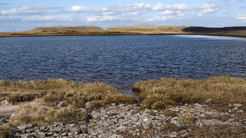
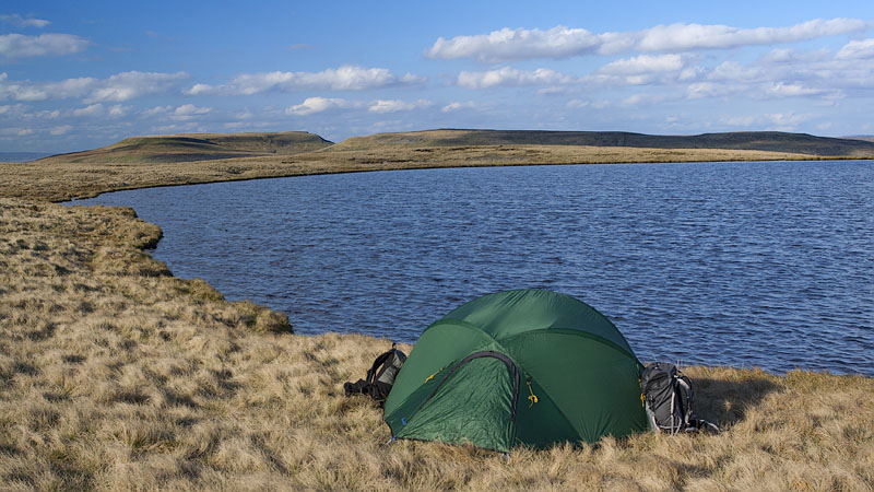
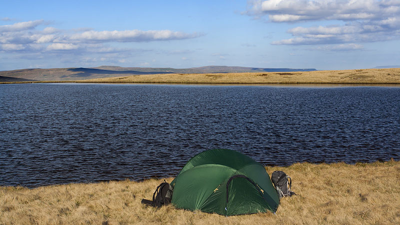
Opening the tent door in the early light our hope was fulfilled - a lovely sunrise with orange light and cloud reflections in the still waters, a fine way to start a backpacking morning after a cold frosty night punctuated by occasional trilling songs from the curlew. This was the first pitch of our new Voyager 2.2 tent that has dual doors and vestibules on the sides, we could now enjoy the view throughout breakfast and a hot brew with the evolving light patterns and strengthening warmth of the sun.


The promise of that dawn for the day ahead was not fulfilled: shortly after striking camp the grey cloud filled in the sky and the views became decidedly murky, but this did not detract from the wilderness enjoyment of the walking. We headed southwards on the plateau past several small curricks and peaty pools towards the trig point on Knoutberry Haw with dull views to the High Seat ridge, and a short boggy walk eastwards is the second summit of Tarn Rigg Hill, a good vantage point for East Tarns, an inviting area to explore another day.
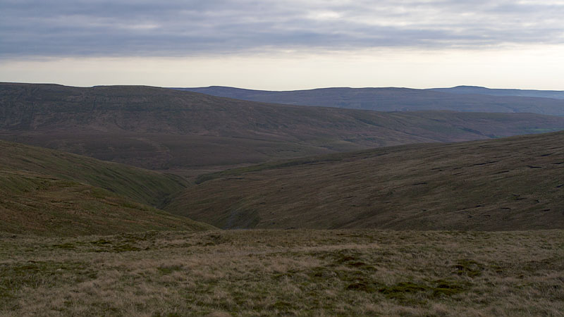


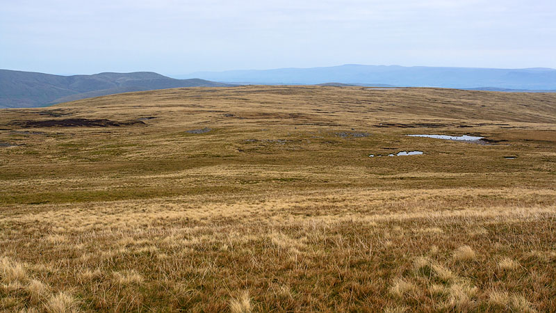
There is a trodden line along the ridge wall and fence descending East Baugh Fell, wet and scrappy at times but reliable all the way to the unfenced road at Riggs. The route could be shortened a little but the impossibility of access from most of Garsdale severely limits the options: there are a couple of gates onto the old minor road near Knudmaning but a direct descent to these would involve crossing the rough and very boggy Ceaseat Mire. It is far easier, certainly drier and probably a lot quicker to follow our descent.
We did a road hike from Riggs to the start of the southern ascent at Dandra Garth on the A684: again the tarmac could be reduced by incorporating a couple of footpaths but this would mean extra distance and ascents and descents.
From Dandra Garth a good bridleway track ascends to the open fell, and where it veers away from the trees we climbed directly upwards along the forest edge to a stile on the ridge. A short climb westwards brought us to the hump of Snaizwold Fell and its small limestone pavement. A gradual ascent on the north side of the ridge wall leads to the trig point of Aye Gill Pike, its views very muted today towards Whernside.
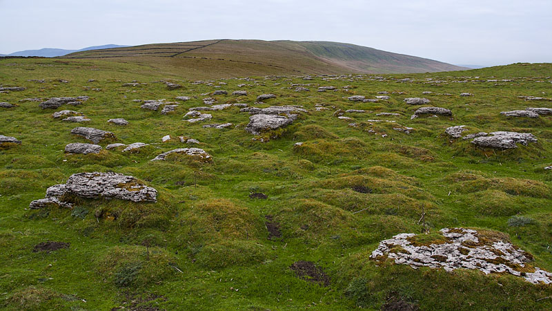

We descended the ridge line NW, and after traversing a small rise at its foot we roughly followed the line of the bridleway above Holebeck Gill to the lane head at Side Farm for a short road hike back to Sedbergh.