
| OS Route Map → | GPX Route file → |
Date: 09 Jun 2015
Start / Finish: Beddgelert. A few parking spaces in the village, some parking on roads on the outskirts (the previously free car park is now pay-and-display).
Maps: Explorer OL17: Snowdon & Conwy Valley.
| Day 1 | Moel y Dyniewyd & Llyn Yr Arddu | 5.8miles / 2472 feet (9.3km / 754m) |
| Day 2 | Llynnau Cerrig-y-mwllt & Llyn Dinas | 5.6miles / 834 feet (9.0km / 171m) |

This was our first backpack since my discharge from hospital a few weeks ago, a modest circuit with significant ascent to a choice deserted location in Wales.
Moel y Dyniewyd is little frequented, but is graced by a thin path on its western side if only because it appears on the Marilyn list of hills and is climbed by at least some hillbaggers from Beddgelert or Nantmor, though very few continue beyond its summit.
The main objective for this trip was to potter around one of our favourite areas of all time, the deserted, rough but beautiful terrain of Yr Arddu and its splendid lakes.
We crossed the road bridge and made a most enjoyable start along the well maintained path on the eastern side of the Afon Glaslyn, briefly accompanied by a diminutive maintenance locomotive chugging along the rail track above us fitted with spray jets. A pair of mergansers were diving in the clear water as the river gathered strength approaching Nantmor and the path became more rocky and undulating, one ledge provided with a set of metal hand grips that we appreciated once on a previous winter visit in frost and ice.
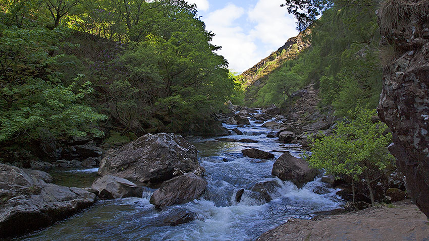
Immediately before the road at Nantmor the path swings eastwards through woodland and under the rail arch to climb gently up into Cwm Bychan, passing an orange spoil heap and some small pylons from the old aerial ropeway. From the saddle at the head of the cwm there is a view of Yr Aran and Snowdon with more mine workings along the path northwards to Bwlch-y-Sygyn. We turned eastwards for the quite steep climb alongside a fence to Moel y Dyniewyd, boasting grand views towards the Snowdon group, the Nantlle and Hebog ridges, Cnicht, the Moelwyns and over the Glaslyn Marshes to the sea.
We headed down the NE ridge from the summit until we spied the tarn below, an easy descent to its outflow stream that we followed to a small gate in a wall. The descent to the valley road is confusing: from the left side of a sheep enclosure below the gate a discernible path heads SE and soon it all but disappears, but there is a gate in the next wall above a sparsely wooded area. From here we made our way down to locate a ruined stone dwelling at SH620472 and followed its old access track down to the valley footpath. This climbs over a wooded shoulder and down to a branching track that finally descends to a ladder stile and a footbridge over the river.


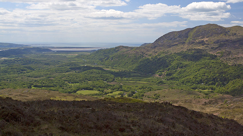

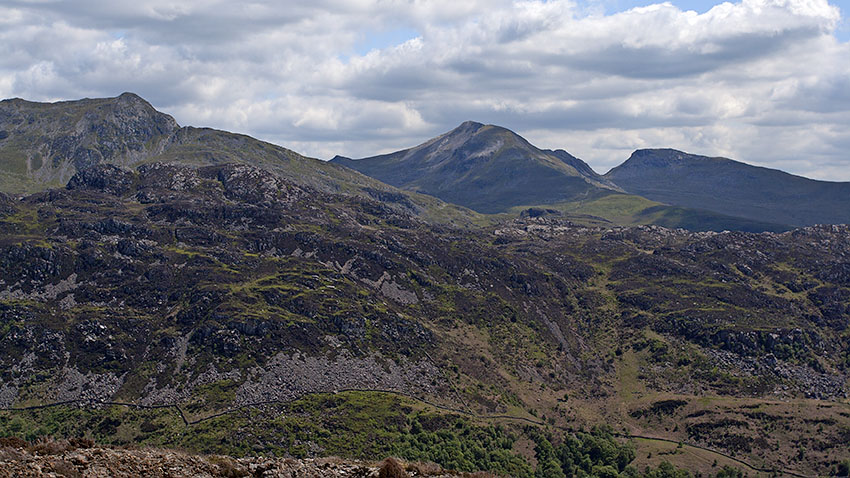
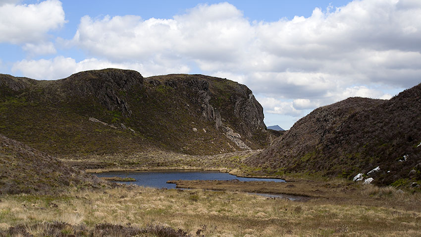
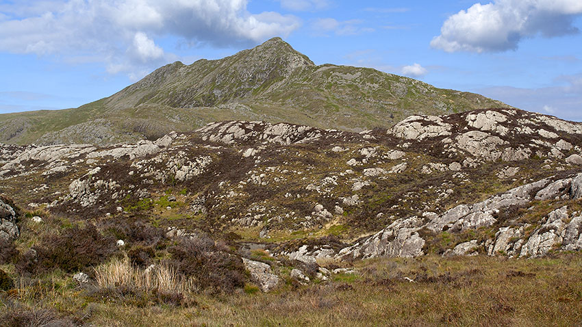
We climbed through the wood to the wall gap and upwards around the first forest corner and alongside the forest wall to a second corner: here we surveyed the chaotic and intimidating upper terrain of Yr Arddu, a jumble of greyish white rock, heather and other rough vegetation where a map is all but useless. Previous ascents are impossible to remember in any detail and it's always by eye on the day.
We followed the line of the right of way southwards a short way until we were stopped by a sea of large skew boulders and stunted rhododendrons. On our left was - I think - the steep, roughly vegetated gully that I descended on one of my solo trips. Hobson's choice, we set off for the gully which, though not as bad as it looked, was a hard slow business and a good test of my lung recovery. At the top of the gully the terrain eased but was still rough and confusing, and eventually by intuition and minor cues from the landscape we emerged at a saddle between the true summit and a lower bouldery dome. Shortly afterwards the lake came into view below, a most welcome sight.
We took time to explore the shoreline and enjoy various views of the surrounding mountains, pitching the tent in the lee of a rocky outcrop.
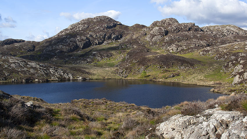
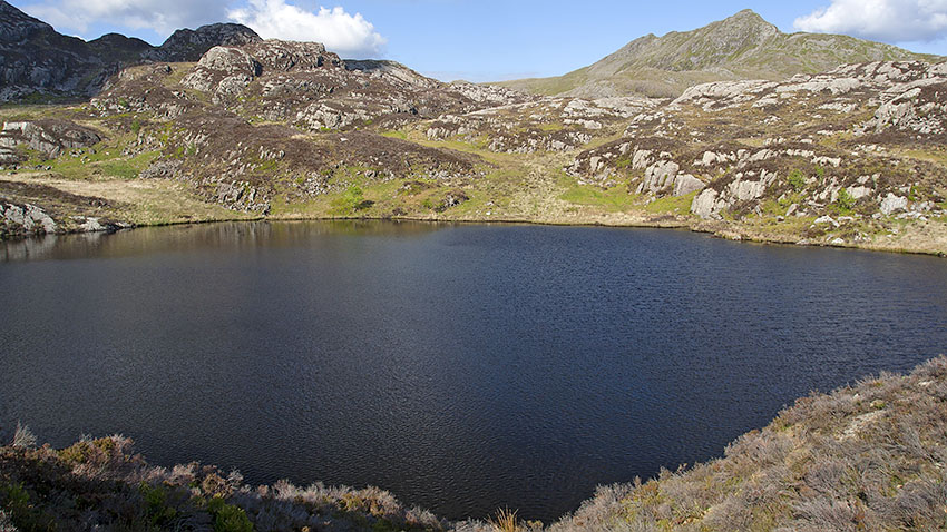

The early sunshine rendered the lake a deep blue, a fine sight from the tent door as we enjoyed a morning brew and a strong disincentive to move at all. Building our resolve we struck camp and set off NE for the saddle between the prominent 463m top and its lower neighbour, a straightforward ascent on easy ground, the only such terrain we have encountered on Yr Arddu, with a good retrospective view of the lake and surroundings.
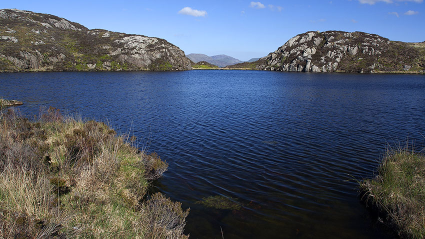

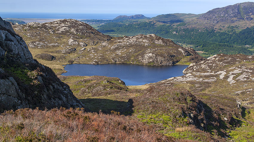

The splendid first lake of the Llynnau Cerrig-y-mwllt pair quickly comes into view, quite a mouthful so we refer to the two lakes as #1 and #2. This lake #1 is almost trackless, just a faint sign of a few feet having explored the shoreline, despite the magnificent surroundings. We spent some time lazily walking the shoreline and soaking up the atmosphere, then a short traverse of a tiny saddle leads to an outcrop above #2, another invitation to spend time pottering around its shore and trying to capture the magic of the location. Being closer to the Bwlch y Battel path, there is evidence that people have ventured here between the lakes: a thin but distinct path and an area of cropped grass that might have been used as a camp spot.

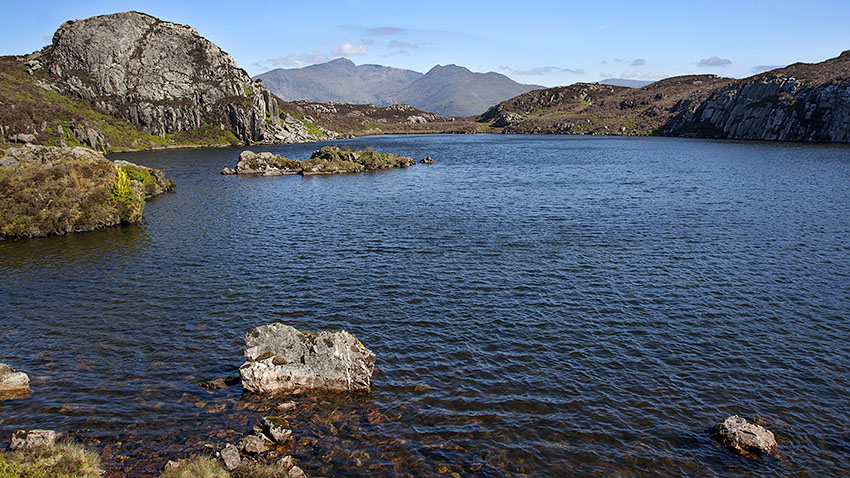

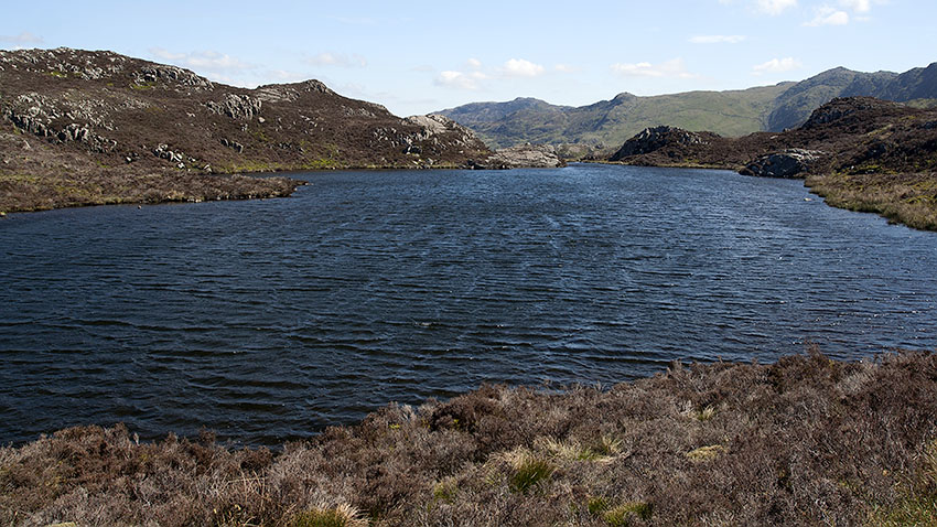

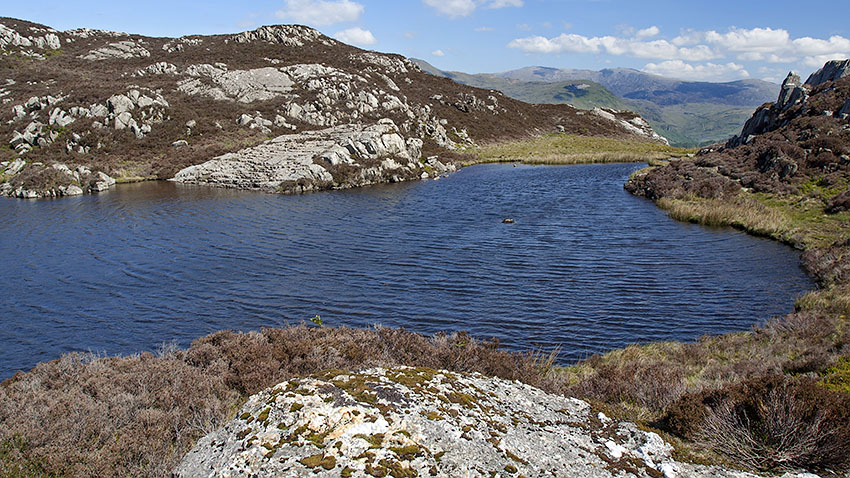

We followed the outflow of #2 down to a ladder stile and onto the main path down to the valley road, now being laid with stones and a small tractor-like vehicle with caterpillar tracks awaiting action.
A short walk NE along the road we took the familiar footpath across to Llyn Dinas to join the valley footpath over a headland to the Sygun Copper mine. Another short road hike led to the riverside footpath back to Beddgelert, now heaving with tourists in the warm sunshine.
