
| OS Route Map → | GPX Route file → | Info document (PDF) → |
 Date: 18 Oct 2018
Start: Corwen. Finish: Llangollen.
Maps: Explorer 255: Llangollen & Berwyn.
| Day 1 | The Dee & Moel Fferna | 8.1miles / 1762 feet (13.1km / 537m) |
| Day 2 | Moel Fferna quarry & Vivod Mountain | 7.3miles / 792 feet (11.8km / 241m) |

A 2-day autumn backpack of the North Berwyn Way (NBW) waymarked trail, a route traversing the heather moorland to the south of the Dee from Corwen to Llangollen.
We have walked sections of the NBW on previous backpacks and this was an opportunity to walk the complete trail, in particular the industrial heritage section covering the quarry site below Moel Fferna that we have never visited. The trail is signed with the NBW logo pictured above and is generally very easy walking on clear lines, just a few scrappy and squelchy bits on the quarry circuit.
The PDF document linked above, in English and Welsh, gives brief information about the trail and the history of the Moel Fferna quarry. It may be quite old now and some of the contact numbers and website URLs may be out of date, but the illustrated history is very interesting and the working lives of these quarrymen, like those who worked the more well known sites such as those in the Moelwyns, are fascinating to ponder given the basic equipment they used and the harsh conditions in which they toiled.
The vibrant autumnal hues of the trees and bracken made this a colourful and rewarding backpack and we saw no other walkers at all until the outskirts of Llangollen at the end.
After a bus journey with clear sunny skies, we arrived in Corwen to a weak inversion in the Dee valley and walked along the road to join the railway trackbed in very cold mist. This old railway line, like many others we have walked, is now flanked by young trees and other flora, an important extension of the wildlife habitat but hiding much of the river from a clear view.
Approaching Cynwyd the NBW leaves the trackbed to ascend to the village and join the lane eastwards above the Afon Trystion, the cold mist having quickly dispersed. This long gradual climb through the forest becomes a track, brightened today by the vivid autumnal colours and a view across to Moel yr Henfaes.


The NBW enters a densely wooded section on a footpath, quite easy to follow and enjoyable but becoming rather overgrown in a few places as it picks its way through the trees to emerge on another forest track. Soon the open hillside is reached for a fine gradual climb to Bwlch Cynwyd with a view to Cerrig Coediog.
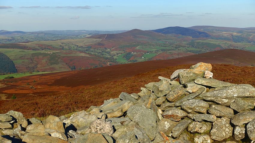
The final ascent to Moel Fferna today seemed a lot easier underfoot than the squelchy line of mown heather we remember from last time, it was almost entirely good path until the wet, peaty wastes near the summit windshelter and its excellent views. The western arc showed many Snowdonia mountains and to the north-east were the tops of Llantysilio Mountain and the masts of Cyrn y Brain.


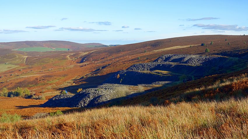
A short descent eastwards on the ridge track is the waymark indicating the narrow rough path descending north towards the quarry. The thin path is often overhung by knee-deep heather making progress slow but we eventually arrived at the waymark where we turned southwards to descend to cross the stream and join the quarry track to the level of the main buildings. We made our pitch here with just enough top-cover on the flat slaty bed to get the tent pegs in at a shallow angle. There are information boards on this level giving brief information about the quarry.


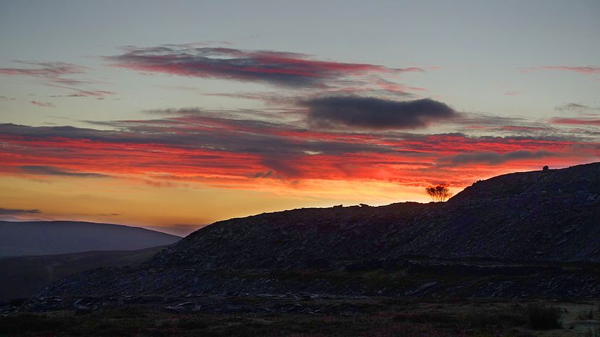
There was very little wind in the night and the saturated air meant a sopping-wet tent at dawn, but the eastern sky yielded an excellent fiery red sunrise and most of the day would be clear and sunny.
The NBW waymark post directs left down the old incline to the foot of the spoil heaps where a brief scrappy section of reedy path joins a lower level flatbed track winding around the hillside towards a prominent conical rise with spot-height of 467m. At its foot another waymark post directs right up to a saddle and onwards to an obvious path climbing back up to the ridge. Another weak inversion on the Dee was visible to the north between the hills.


Noticing the grouse butts on the map, we were reminded of a distinct change since our last Berwyn trip: we hadn't heard a single grouse, however we heard and saw an awful lot of pheasants throughout the walk, no doubt encouraged by the feeders we had seen on the forest approach yesterday.
The ridge track along the edge of Ceiriog Forest made a grand easy walk with a splendid display of fungi amid the saplings festooned from head to foot with glistening spider webs. The ascent to Vivod Mountain gave extensive views and a good prospect back along the ridge to Moel Fferna.

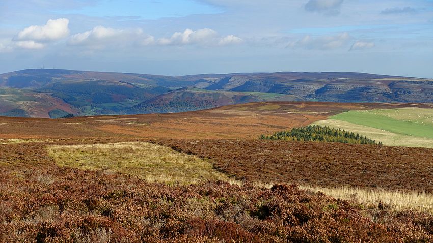

The NBW track descends to a copse of trees and turns northwards towards a region shown on the map as 'Wilderness', more easy walking over the moorland with a view of Eglwyseg Mountain. The route ends with a descent through fine woodland and a final steep drop onto the main road in Llangollen.