| OS Route Map → | GPX Route file → |
Date: 11 Jul 2022
Start: Glossop station / Finish: Bamford station.
Maps: Explorer 001 - The Dark Peak.
| Day 1 | Bleaklow Head, Mill Hill & Ashop Edge | 11.0miles / 2386 feet (17.7km / 727m) |
| Day 2 | Seal Edge, Blackden Edge & Win Hill | 11.2miles / 1086 feet (18.0km / 331m) |
A 2-day linear trek taking in the mountain summits of western Bleaklow, the northern edges of Kinder Scout and a traverse of Win Hill above the Hope Valley.
The approach from Glossop is via the Yellow Slacks and Shelf Moss route to Bleaklow Head and Higher Shelf Stones. The Pennine Way (PW) gives an easy traverse to Mill Hill and the Kinder plateau, taking the northern edge line of Ashop Edge, Seal Edge and Blackden Edge to Crookstone Hill. The final section passes Hope Cross and traverses Win Hill for a descent to Bamford.
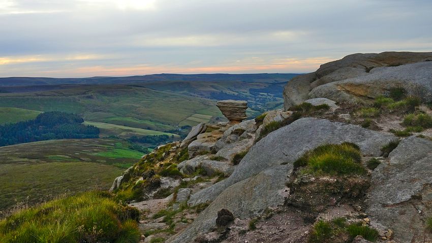
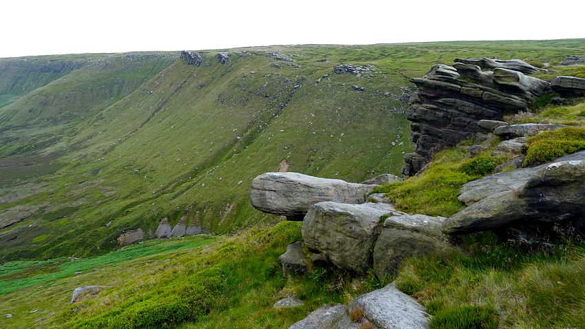
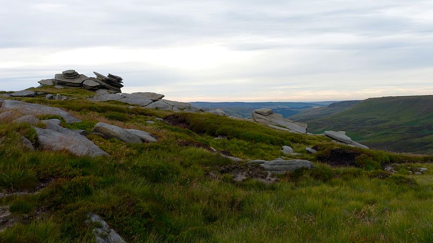
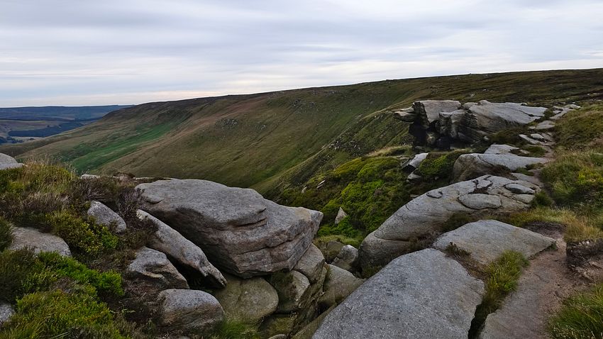
Compared to the popular southern edges of Kinder, the northern edges are much less trodden, wilder and somewhat more taxing and time consuming. There is a path to follow the whole way, almost always clear, but it involves a lot more weaving through gritstone outcrops and boulders that present excellent rock formations on the plateau edge.
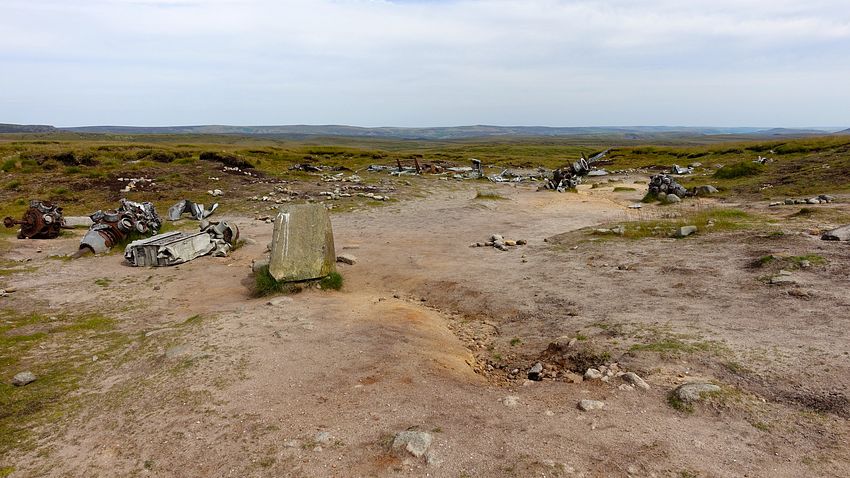
The very dry conditions gave a good opportunity to make the traverse to Bleaklow's secondary summit Higher Shelf Stones, our last visit being over 20 years ago, and the nearby aircraft wreckage of the RB-29 Superfortess "Over Exposed" that crashed here in 1948.
Regarding this tragedy, we just discovered a firsthand account by a member of the recovery team of the operation carried out here in bleak November moorland conditions by the MRT in conjunction with American military personnel.
The account is teeming with fine detail, albeit grim and gruesome at times, that gives a powerful insight into the practical and personal aspects of the recovery using period equipment. An evocative and rivetting piece, highly recommended.
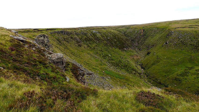
From the station we followed the walkways and path through Manor Park to reach Shepley Street and the start of the Doctor's Gate route. The Yellow Slacks route diverges uphill at the "Path to Access Land" and climbs steadily above Shittern Clough, apparently meaning just what the name suggests. The path soon joins the northern edge of Yellowslacks Brook ravine with a good view of its head, though the earlier hot sunshine had been veiled by a thin layer of cloud that dulled the landscape.
We continued upwards along the edge of Dowstone Clough and watched out for the tiny streamlet coming in on the left where the OS map shows a pecked path alongside it heading directly for Bleaklow Head. The tributary, and even the clough itself, were both bone dry and there was no sign of a side path, however we followed the mapped line and a vague intermittent trod soon appeared. In any event the terrain here is surprisingly easy by Bleaklow standards and we soon arrived at the clear path of the PW by the Wain Stones, the summit cairn is a short walk beyond with an embedded post.
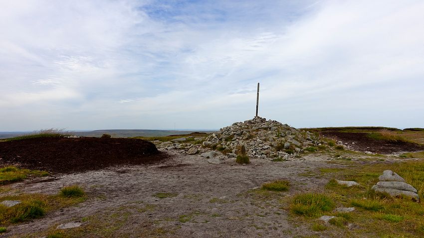
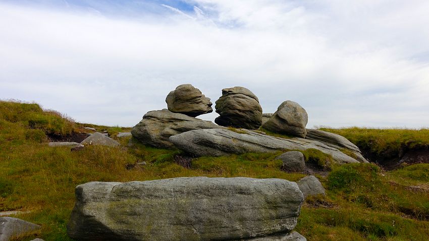
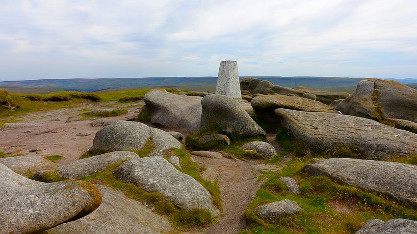
Returning to the Wain Stones, a clear path to Higher Shelf Stones has established itself over the intervening years, aiming just right of the prominent rocky tor in the sea of normally boggy peat and ascending easily to the RB-29 crash site and thence the trig point amid gritstone rocks, giving good views despite the cloud veil.
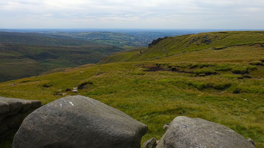
We descended via a new route this time, a well used broad trodden swathe south-eastwards to the head of Crooked Clough. From here a prominent path contours along the clough rim towards the A57, but we ascended directly on the far side on easy terrain to join the PW and reach the road at the correct point to continue the familiar crossing to Mill Hill.
The long traverse of the PW over the moorland to Mill Hill is paved the whole way and progress was swift. A short descent and a sharp climb up the pitched path gained the large cairn on the western tip of the Kinder plateau where the heat of the day was quickly moderating in a cool breeze.
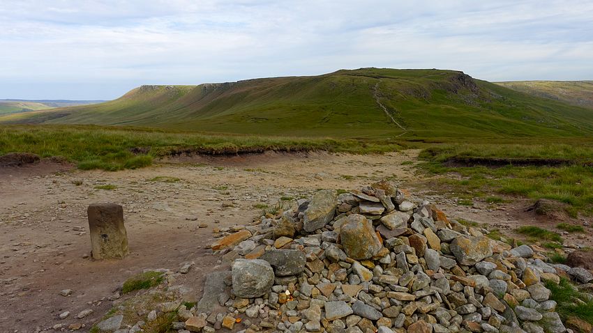
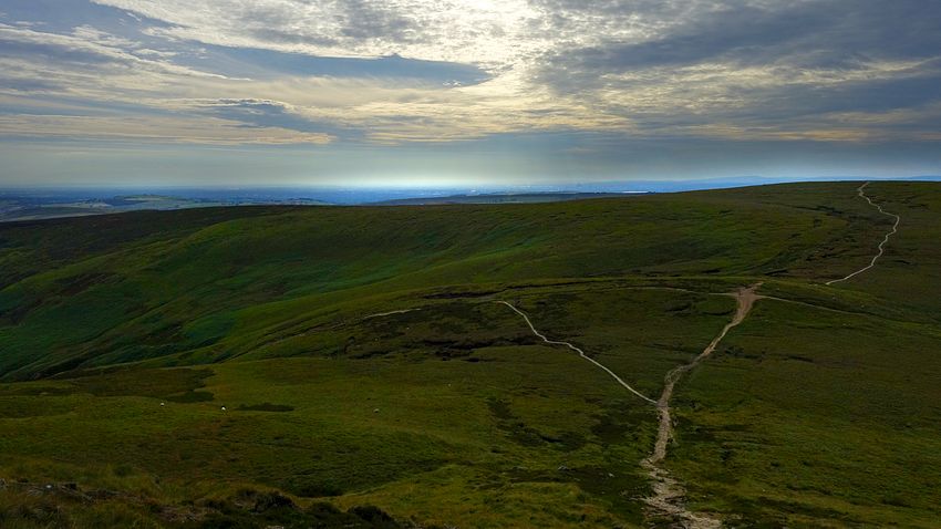
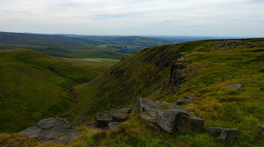
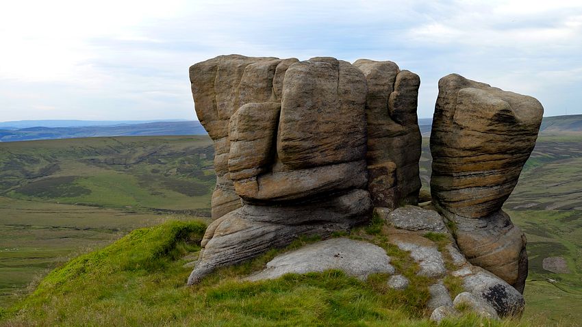
From the cairn the northern edge path starts at a nearby stile. The views soon open out over Ashop Clough to Bleaklow and the first rock formations appear, including the Boxing Glove rocks.
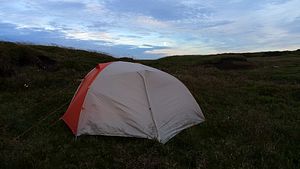
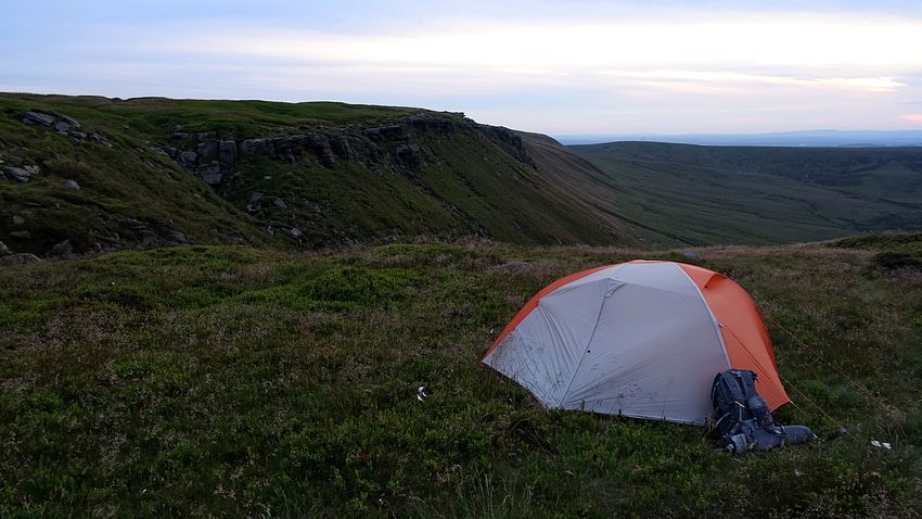
It was getting late and the evening sky was showing some pleasing structure and orange tints. Passing the ravine of Nether Red Brook, we started to scan for a pitch: one can't be too fussy in the moorland of the Dark Peak where good spots are not common, but we found a pretty good patch of bilberry near the edge.
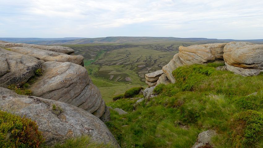
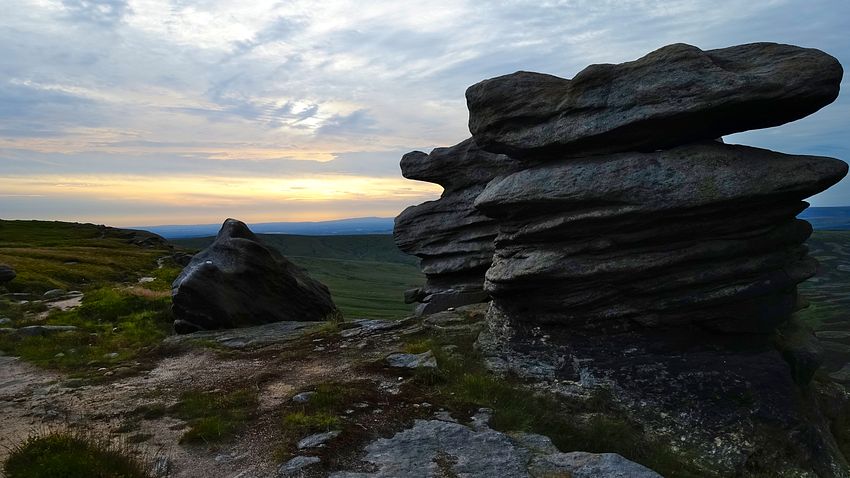
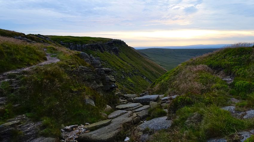
The morning sky was overcast, but at least there was no mist and it brightened somewhat as we set off for Fairbrook Naze in a quite chilly breeze, a surprise after the enclosed warmth of the night (as it turned out, it was one of those rare days when we could have left the sleeping bags at home). The edge path is almost always clear as it weaves its way through the bouldery landscape and is reliable, though it seems to descend rather disconcertingly as it rounds the bends and turns inwards at the ravine heads.
There are many rock formations to enjoy on this edge traverse until the landscape becomes more open and less dramatic approaching Crookstone Knoll. Before reaching the nose of the Knoll, the path turns south to a rocky tor where we saw a pair of curlews and eastwards on a thin path to reach the main prominent descent line around the head of Jaggers Clough.
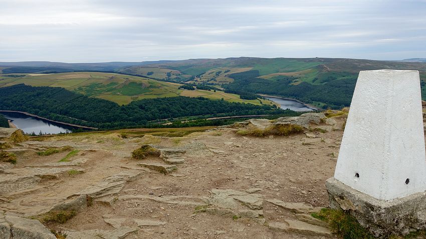
The Jaggers Clough path leads down easily to Hope Cross and its stone guide post, a popular confluence of many paths. The main walking highway ascends easily and gradually, curving eastwards to the small "Pike" and trig point of Win Hill with a view of the Ladybower reservoirs.
On the traverse to Win Hill there had been a few intermittent spots of rain but, just after taking that photo, we sat down for eats when the real rain started and we quickly deployed the waterproofs and protected the sensitive kit. After eating we started the descent eastwards and the sky cleared to hot sunshine.
Our final descent line to Bamford was via the Thornhill Carrs route, a fine path passing through the woodland of a small nature reserve to Thornhill and crossing the railway line to access the station.
