
| OS Route Map → | GPX Route file → |
Date: 08 Aug 2022
Start: Rhydymain / Finish: Barmouth.
Maps: Explorer OL18 Harlech & Bala + Explorer OL23 Cadair Idris.
| Day 1 | Moel Cae'r-defaid & Rhobell Fawr | 4.9miles / 2367 feet (7.9km / 722m) |
| Day 2 | Ganllwyd, Cwm Camlan & Llyn y Bi | 11.5miles / 1938 feet (18.5km / 591m) |
| Day 3 | Y Llethr, Crib-y-rhiw & Diffwys | 4.6miles / 1717 feet (7.4km / 523m) |
| Day 4 | Craig y Grut & Mynydd Egryn | 5.2miles / 615 feet (8.4km / 187m) |

A linear 4-day trek from Rhydymain to Barmouth, revisiting the southern Arenigs region and crossing the Afon Mawddach valley via the Coed y Brenin forest park to Cwm Camlan for an unusual eastern approach to the ridge of the southern Rhinogydd.
We had planned to ascend from Rhydymain via the Allt y Benglog Nature Reserve, but our intended footpath led immediately from the gate into a steep hillside smothered by very dense head-high bracken with no sign of a line through it. We gave it a shot but soon abandoned it, reverting to our reliable route along the byway that we took on our previous trip here twelve years ago.
Once again the Arenigs were a good escape for the height of the summer season, the high ground was completely deserted until we reached the southern Rhinogydd ridge where the Ultra-X Wales multi-day marathon event was taking place this week. Their route across the headwaters of the Afon Gamlan and southwards along the Rhinogydd ridge coincided with ours, the initial rough and little trodden section to Llyn y Bi being marked at frequent intervals by little multicoloured flags poking out of the heather and tussocks. We reached Cwm Camlan late in the day when they had all long since passed but the stragglers caught up with us next morning.
Like our Arenigs trip last year, and in similar sweltering hot weather with unbroken sunshine, the main focus was on reliable water which often meant a heavier load and more strenuous walking.
We picked up the byway by the church, a good track that arcs westwards to join the lane climbing northwards past Cefn-y-braich farm. Higher up the lane reverts to a surfaced byway and continues climbing around Cae'r Defaid farm. Just after a sign indicating the public footpath east, we left the byway on a vague grassy track ascending northwards into Fridd yr Hengwrt and Access Land via gates.
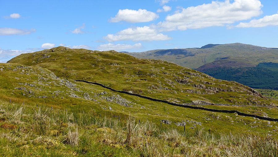
The vague track peters out but an easy climb NNE quickly gains the first top of Moel Cae'r-defaid. A broad grassy top is reached first and a small sharper rocky top lies just beyond, the latter seemed higher and certainly a more satisfying crown.
Descending northwards on wild and trackless but easy terrain, we decided to head for Rhobell Fawr on the opposite side of the forest.

A good fast flowing stream emerges from the eastern edge of the trees but, despite a very hot and arid few weeks, the forest edge was still boggy in parts and the terrain becomes rough with tussocks and heather. We slowly picked our way along to the fairly well known forest corner where a through route to the western side has become established over the years, now even blessed by a waymark at the internal turning point. It follows an old firebreak and, even in these generally very dry conditions, today it was still quite wet and squelchy. The old short duckboards on the worst bits have disappeared since we were last here.
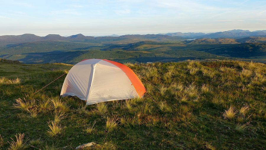
Reaching the forest track on the western side, we walked along to a gate to start the climb of Rhobell Fawr on the northern side of the wall, a steep but enjoyable ascent with good views back towards Arenig Fawr. We made our pitch in the same spot as last time with a most welcome breeze to cool things down.

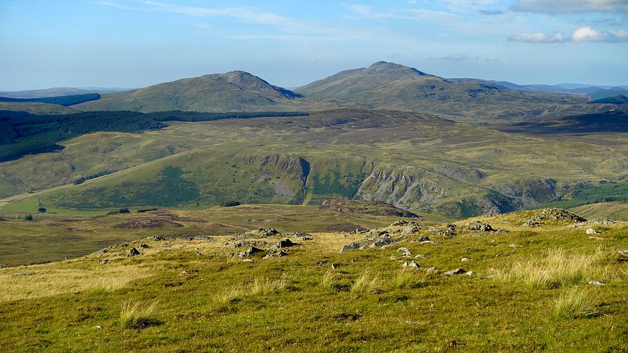
A breezy morning with a nice sunrise and extensive vistas was an excellent start for the descent of the long SW ridge with colourful views to Foel Offrwm and the Cadair ridge ahead. At Bwlch Goriwared a stony track heads southwards to a lovely path through the Garth Fawr woodland and on to Llanfachreth.

Quiet country lanes took us westwards in the welcome shade of the fine Coed y Brenin forest trees to Ganllwyd. A good woodland trail hugs the Afon Mawddach for the final section and has information boards showing a brief history of the King's Guards: Douglas Fir trees of which the King's Champion is 51m high. An inclined board complete with footrest has an inscribed offer that was hard to forego today: "Lie down and gaze at the treetops".
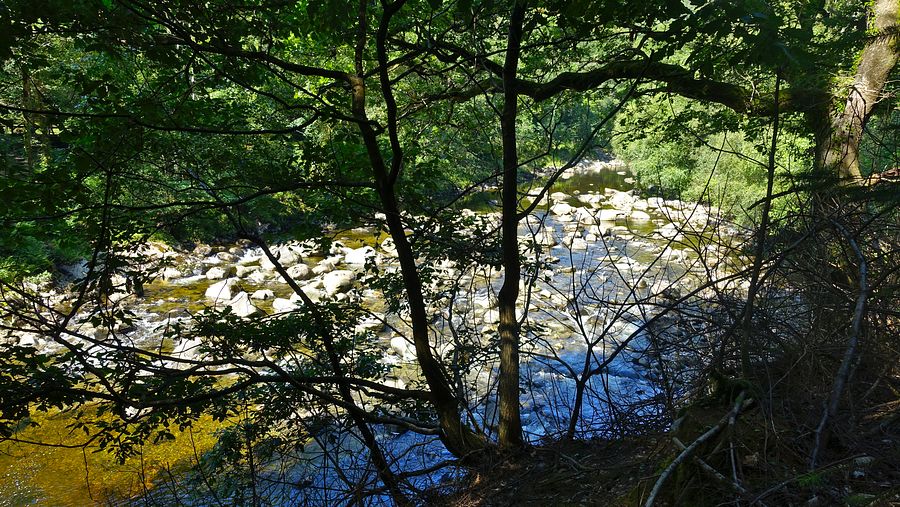


Crossing the river bridge, we followed the riverside path to the A470 where a no-through-road ascends opposite. This byway winds its way aloft north-westwards, the trees providing some shady patches to stop for a breather in the heat, reaching Berth-Lwyd and a forest track. Reaching a track T-junction near Goetre at SH 71851 24044 with no waymarks around, the onward route is not obvious but is a footpath straight ahead, becoming similar to a dry stream bed, an enjoyable ascent in the relative cool of the shade. The path traverses the open hillside of Cwm Camlan and reenters the forest.
A short way into the trees the footpath crosses a forest track and we had a decision to make: continue on the shorter direct line of the footpath into unknown terrain and the potential difficulties of the wild cwm, or take the forest track that is longer and adds some ascent but guarantees easy walking. We chose the latter route that rises onto the lower flanks of Mynydd Glan-llyn-y-forwyn and descends to a track junction where our northbound branch took us into the heart of Cwm Camlan. This is where we saw the first of the event flags and coloured tape markers.
The old quarry track starts very well with good views of Y Llethr and Rhinog Fach and arrives at Pont-y-Brenhin and its buildings where the stream was flowing quite strongly.

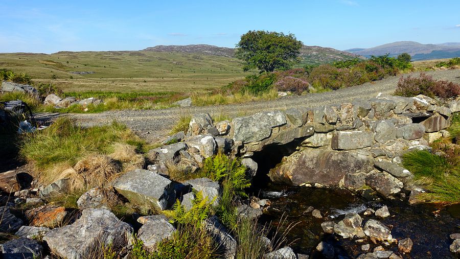
The quarry track is generally easy walking for most of its length, certainly in these summer conditions, but there are a few brief nasty patches where the constant trickle down of water results in a permanent boggy quagmire that fills the track and is hard to avoid on the surrounding terrain.
Arriving at the quarry buildings, there is a feeling of remoteness here with a good view of Y Garn beyond. The OS map shows a pecked path arcing north-westwards towards Llyn y Bi and it is accurate, being marked temporarily today by the little event flags. The thin path is not difficult to follow but the terrain in this region is generally wild and quite wet, the area surrounding the outflow sporting extensive carpets of bog asphodel.
Time was getting on and we stopped for our evening meal by the outflow stream part way up the climb to the lake as the sun was sinking and almost at the ridge skyline. Finally arriving at the grand sight of Llyn y Bi, we hunted around quickly for a decent pitch spot on the generally grim shoreline. We spotted a fairly flat patch that turned out far more comfortable than we had any right to expect, but due to the poor light we would have to wait until dawn for a good photo. For the first time in ages we had to contend with midges in the dead calm air - Mosiguard to the fore.

Another clear sunny morning brought a low warm light to the lakeside scene with Y Llethr towering above. We rapidly packed away the tent and wet flysheet and resumed the thin path steeply upwards towards the ridge, quite easily visible but still marked by flags. Shortly after we heard voices behind us, the first of the event walkers were out and quickly gaining on us, later squeezing past us in the heather.
Arriving at the stout ridge wall, we walked around looking for a ladder stile or some other way over to the west side. A short way south from the path head we spotted some stones protruding from the wall to make a sort of step-stile, not at all obvious and we think some of the event runners must have missed it.
Over the wall above Llyn Hywel, now in a refreshing cool breeze and clear sunshine, was one of the finest local mountain scenes south of the border. Our only previous visit was 18 years ago and we wondered why, this was magnificent and we lingered here for some time to soak up the splendour and cool down.


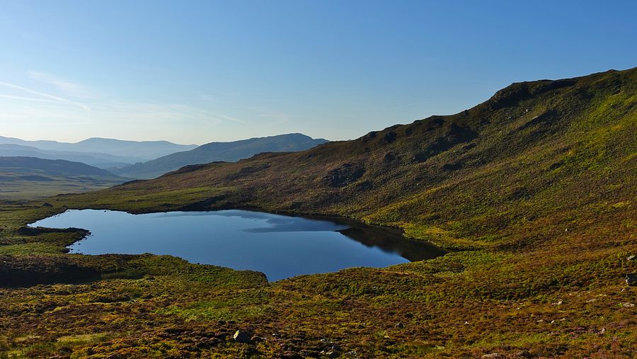


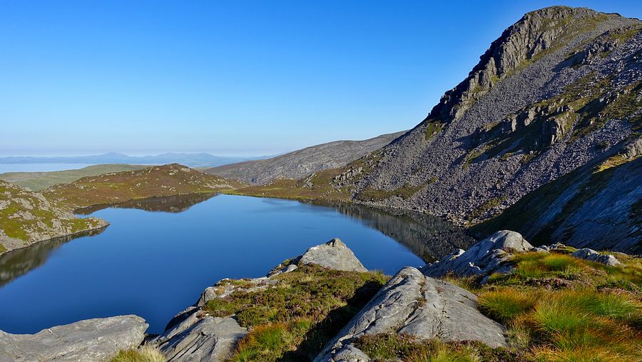
It was time to knuckle down for the steep ascent to the highest Rhinog Y Llethr, the higher vantage giving more great views of Llyn Hywel. Part way up a couple of girls in event running kit caught us up. We asked them about the flags we had been following and they explained the ultra marathon event: now that the last of the competitors had passed, their job was to collect all the flags.
Arriving at the top of the steep ground, the Rhinog character changes abruptly to soft grass where another lengthy rest was mandated. At the summit a couple of guys were setting up a radio gear antenna rig, perhaps members of SOTA.
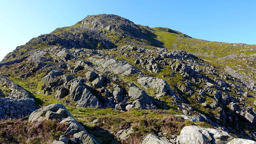

Descending from Y Llethr to a wall junction, we met a group of walkers/backpackers apparently under instruction from a leader, they later set off on a path north-eastwards traversing the flanks of the mountain. We later looked at the map to see that this path ends abruptly at a wall, we can't imagine the plan from there. On Crib-y-rhiw we met a girl with a large Osprey pack walking northwards.
At the bwlch before Diffwys was the last reliable opportunity to collect water before Barmouth. The excursion to fill our bottles and Platypus container allowed the capture of a good view of Llyn Dulyn and Llyn Bodlyn below before the heavily laden ascent to Diffwys.


An easy walk over the west top of Diffwys brought us to a good grassy area on Llawlech where we made our pitch in a nice breeze, directly above our Llyn Irddyn pitch of last year. Later there was a lovely sunset across the Lleyn Peninsula.

Yet another clear sunny morning dawned for an easy cool walk up to a new 500m Dewey top Craig y Grut. Some distance from the path we saw a dark green tunnel tent pitched, its owner not yet up and about. Traversing a small rise we descended to Bwlch y Rhiwgyr, passing another pitched tent that I deemed to be an MSR Hubba or Freelite.
Walking north to south, a crucial note at Bwlch y Rhiwgyr: so far the path has been on the western seaward side of the ridge wall, but here switch to the eastern side. Others have made the same mistake as us, there is a trodden path continuing on the western side that we naturally followed, but there are no stiles or gaps in the cross walls. We had to search for a relatively easy spot to climb back over to the eastern path. The backpacker owner of the MSR tent we passed had done the same thing, he saw us and caught up with us, crossing the wall at our spot.
An easy walk leads to the second new Dewey top of Mynydd Egryn.
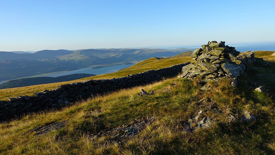


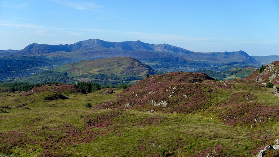
The slopes now become more heathery and today they were ablaze with vibrant colour. The route has one last sting in the tail for a very hot day: a sharp ascent from Bwlch Cwmmaria to the 461m trig point. Passing the tiny rise of the 462m true highest point, we crossed the ridge wall to the right hand side at a ladder stile bearing a Cambrian Way logo. A cairn just beyond marks the start of the long descent to Barmouth, soon joining the route of the Taith Ardudwy through Bwlch y Llan.
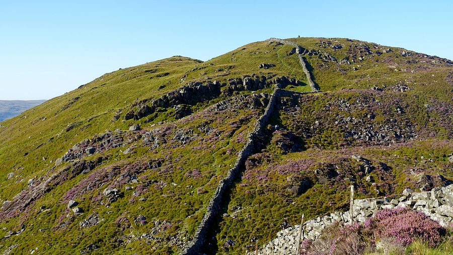

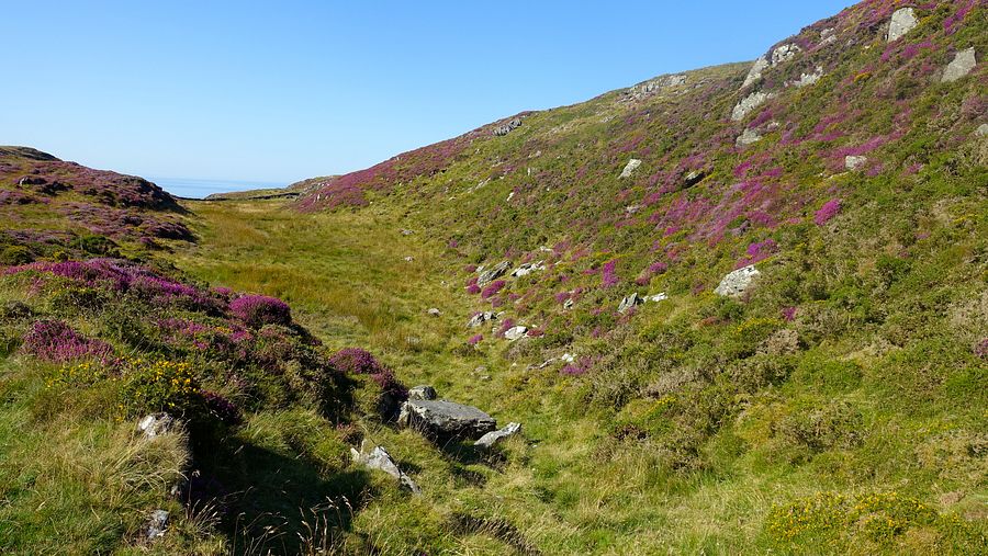
The long steep descent ended in a baking, bustling Barmouth and we bought food and drink at the Co-op, finding a bench in the shade to relax, eat and wait for the T3 bus back to Wrexham.