| OS Route Map → | GPX Route file → |
| Hopegill Head panorama > |
Date: 07 Dec 2003
Start / Finish: Braithwaite. Roadside parking.
Map: Explorer 4: English Lakes North West
| Day 1 | Grisedale Pike to Grasmoor | 7 miles / 4300 feet (11.3km / 1310m) |
| Day 2 | Grasmoor to Causey Pike | 6 miles / 940 feet (9.7km / 286m) |
A backpack well suited to short winter days, with very easy paths throughout except for the clamber up the north ridge of Crag Hill which presented no difficulty.
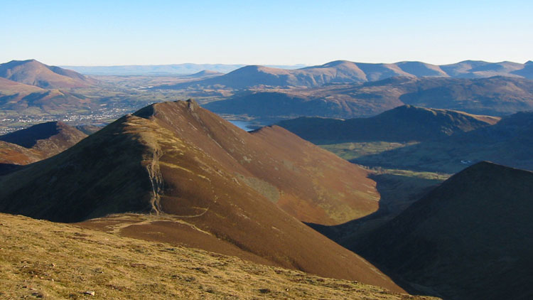
We took the standard route to Grisedale Pike which starts at the pull-in on the B5292 to the W of Braithwaite. Although it was constant sunshine the whole day, the conditions were not conducive to interesting photos and the shadow areas were almost black behind the low sun, but we did obtain some pleasing shots and one reasonable panorama. From Coledale Hause we took the direct and frosty route up the N ridge of Crag Hill, which seems to be forsaken by most people for the much less interesting plod around the W side. We collected water at the head of Liza beck and climbed to Grasmoor for a pitch on the plateau, where we watched the sun sink behind the silhouetted peaks to the SW and set behind Great Borne.
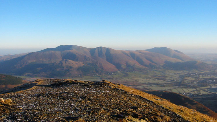
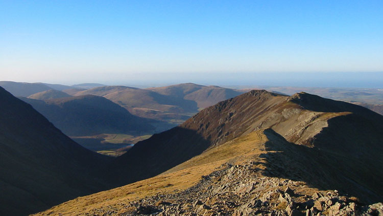
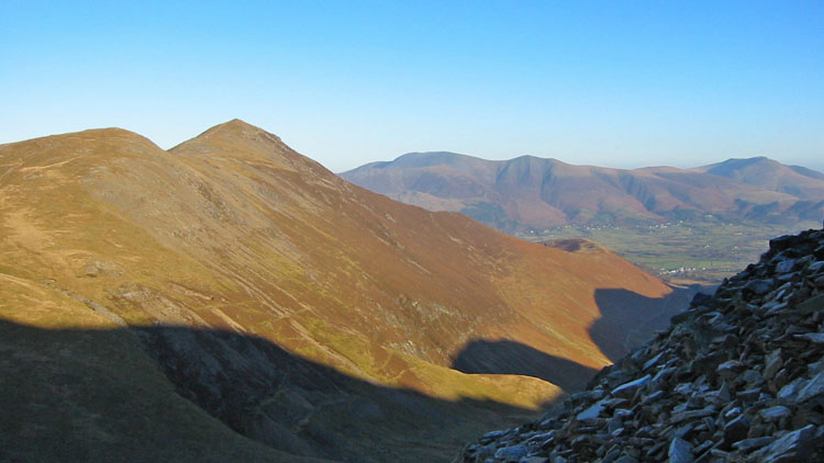
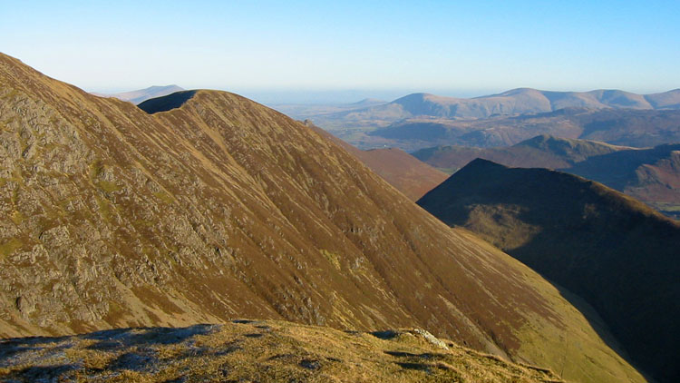
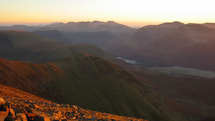

The sky remained clear all night and throughout today, and the early morning was crystal clear with views of the full moon setting across the Solway Firth and far beyond. Walking around the N edge of the plateau above Dove Crags, we returned to Crag Hill and traversed the ridge to Causey Pike. From here we backtracked a short way to the path that descends to High Moss, and followed one of a number of paths on the far side of the valley that led over Stile End and down to Braithwaite.


