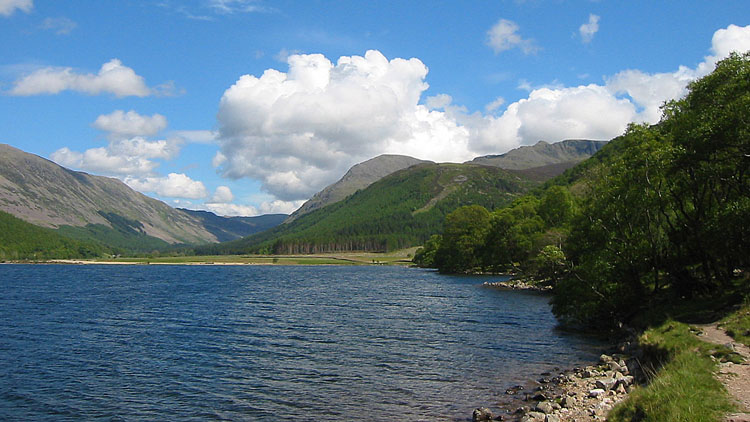
| OS Route Map → | GPX Route file → |
Date: 29 May 2005
Start / Finish: Bleach Green free car park at the west end of Ennerdale Water, 085513
Maps: Explorer OL 4: English Lakes North West.
| Day 1 | Dent & Lank Rigg | 14 miles / 3640 feet (22.5km / 1109m) |
| Day 2 | Haycock & Pillar | 13 miles / 2860 feet (20.9km / 871m) |
A circuit in the far western fells to escape the hoardes on a bank holiday, at least until the return along Ennerdale Water. The second day was blessed with clarity very rarely seen outside winter and the views were outstanding.
The route from Ennerdale Bridge follows the Coast-to-Coast (C2C) LDP, and a footpath has been created off the road as far as Scarny Brow. To do a traverse of Dent, we entered the forest at the corner (041139) and followed the forest road, forking R up an earthy track and shortly after R again to a fence at the plantation edge, gaining the open hillside. We crossed the intermediate fence at the corner where it abutts the plantation fence, and climbed steeply up to join the C2C at the crest. The viewpoint cairn is on a rise a short way to the R. Following the C2C ESE, the true summit is marked by a small cairn on the next rise, and there are very good views. There was still mist shrouding the highest inland mountains.

The C2C zigzags down to the attractive ravine of Nannycatch Beck, where a gate on the L gives access to the valley path. We left it at Nannycatch Gate to follow the footpath steeply up to the fell road. Even here in the furthest reaches of Lakeland there were quite a few cars parked today. A discernible path leads over the minor rise of Burn Edge to the cairn on Swarth Fell. Following the fell road to Friar Well, we made a detour to Cold Fell, an unremarkable hill of rough pasture grazed by cattle but with spacious views to the East.
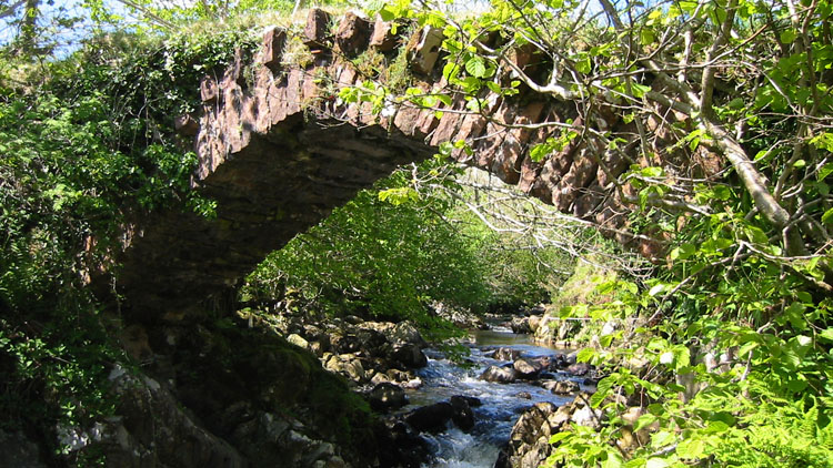
Friar Gill flows down an attractive ravine to a footbridge, and a short walk L up the River Calder is Monk's Bridge, where the river rushes through a rocky cleft beneath.
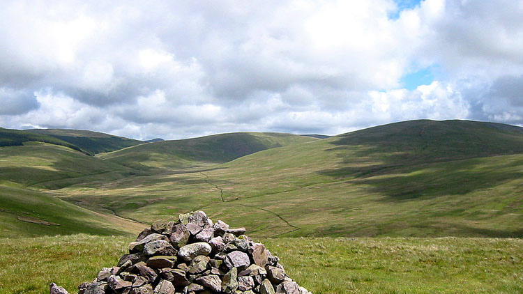
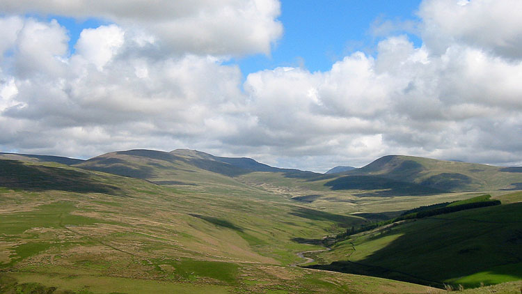
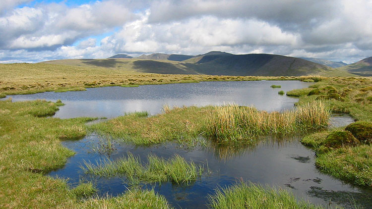
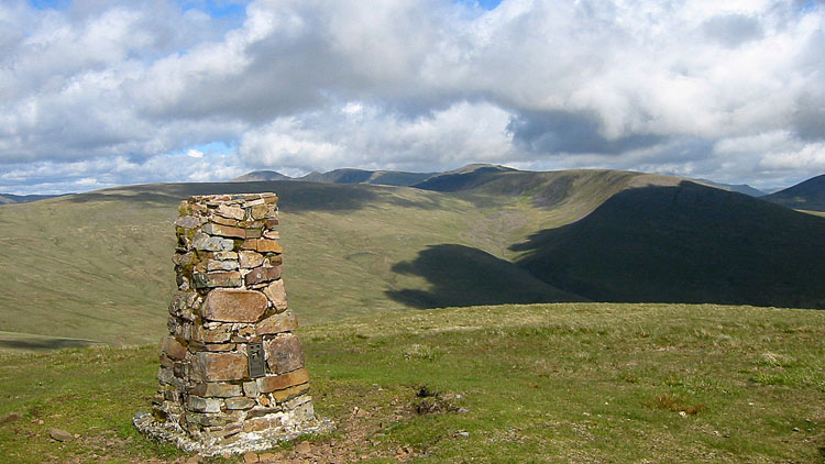
Taking the track SE and forking L, we aimed for the stones on the skyline and began the long ascent NE towards Boat How. The grassy line of the track quickly petered out and the pathless soft squelchy grass and moss made it tiring, but the whole area was deserted. Eventually drier firmer ground prevails and the tarn and trig point of Lank Rigg appear. The air was very clear by now giving great views, though there was ominous cloud gathering towards the Scafells. The grassy top made a great pitch.
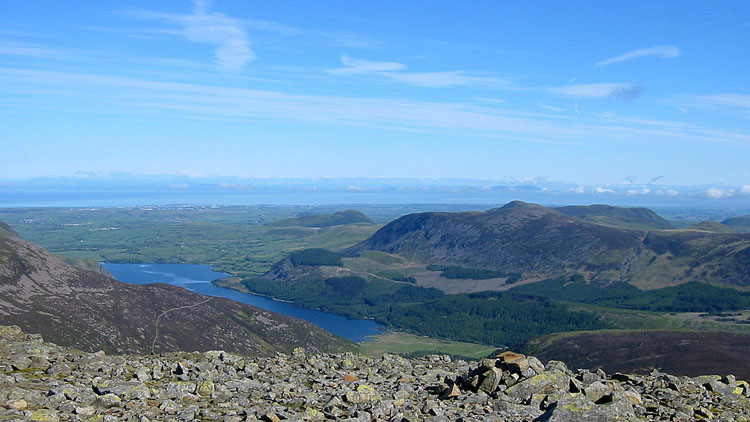
We were expecting the dawn to be misted out, but it was incredibly clear. On the Isle of Man we could see detail on the shore and a mist cap over the island, while to the North we could see hills well into Scotland.

A thin path leads out to Whoap and continues as a grassy track across the broad col, crossing a tiny stream where we replenished water. The track swings round to the ridge near Iron Crag, where we followed the wall round a succession of summits to Haycock. We stopped for a food break here, with grand views and nobody else in sight. We were expecting a crowd by the time we arrived at the summit of Pillar, but we saw only one other walker. Every top was deserted and we spent around half an hour alone on Pillar soaking in the views on this Bank Holiday Monday lunchtime. Normally one can see people on the other tops and ridges on the skyline, but we saw none today.



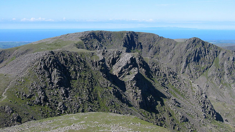

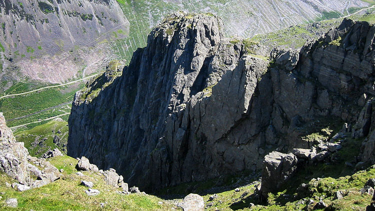
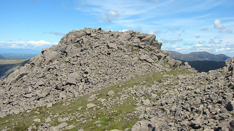
We decided on a descent NW via White Pike, little used compared to the Wasdale routes, which involves a drop to the forest road of 2400 feet in 1½ miles. The steep path is clear at first, but as it reaches the rough rocks it becomes increasingly difficult to keep track of it, with fragments of the path becoming visible intermittently. Below White Pike, we must have strayed too far L, and lower down it became very rough with skewed boulders and loose jagged rocks. Eventually we reached grass and veered R towards the wall, joining the good path down to ford High Beck.
Just beyond the beck, we entered the forest at a gate and followed the thin path down for a long time to meet a forest road. Turning L to the end of the road, a cross path descends R through the trees for another long time alongside the attractive gorge and falls of Low Beck, though it can only be seen occasionally far below. Finally the main track in the valley is reached, and looking back to Pillar, the descent route looks impossible!.
We followed the forest road, which climbs a little around the L side of Moss Dub, to its end just beyond the concrete bridge over Woundell Beck. A gate on the R gives access to a stile onto the lakeshore path, which is a very pleasant return to the car park, but a lot of day trippers.
