
| OS Route Map → | GPX Route file → |
Date: 13 Jan 2012
Start / Finish: Capel Curig. Car park.
Maps: OL17: Snowdonia & Conwy Valley or Harvey Superscale Snowdonia.
| Day 1 | Llyn Cowlyd & Pen Llithrig y Wrach | 3.2 miles / 2040 feet (5.2km / 621m) |
| Day 2 | Pen yr Helgi Du & Y Braich | 6.0 miles / 835 feet (9.7km / 254m) |
Our first backpack of 2012 and another short outing in the Carneddau for brief daylight hours, this time a 2-day circuit from Capel Curig around Cwm Tal-y-braich over the south eastern tops of Pen Llithrig y Wrach and Pen yr Helgi Du. The return is a pleasant hike along the valley track of Telford's old road.
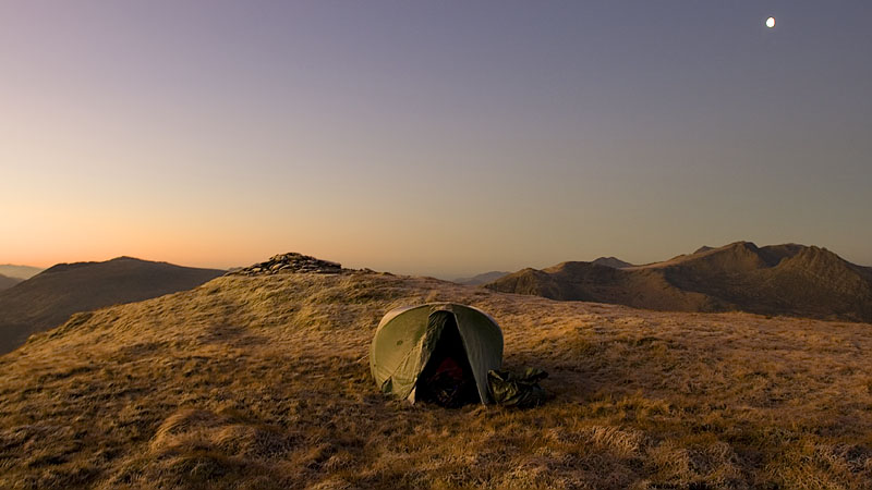
The weather since late November had been dreadful from a backpacker's viewpoint, only a handful of isolated good days and never more than one at a time, the rest being formidably wet, windy or both. Here at last was a sunny cold forecast and the conditions were excellent on this trek, the highlight being a fantastic pitch on Pen Llithrig y Wrach with turbulent skies at dusk and a very cold clear night of thick crunching frost beneath a gleaming moon.
The gently sloping car park is prone to water run-off from above that can make it tricky in subzero temperatures, but at an unexpectedly mild 1°C there was no cause for goosebumps. From the road junction below the car park we walked northwards past the open café and shop on the verge of the A5 to pick up the signed bridleway to Llyn Cowlyd, a gradual ascent that was a bit squelchy at times in the still mild air and gave enticing views westwards towards Llyn Ogwen. The westerly skies had a grey menacing demeanour at first, and I began to question the wisdom of wearing my usual Salomon Exode shoes in January, especially if any precipitation should freeze - we had decided not to bring our Microspikes either.
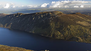
The path arrives at a small footbridge over a leat and contours around to another bridge over the inflow to Llyn Cowlyd, with the towering heathery slopes of Pen Llithrig y Wrach and Creigiau Gleision beautifully framing the lake.
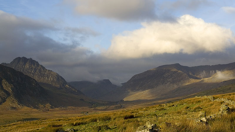


The south ridge of Pen Llithrig y Wrach is a rather confused jumble of terrain in its heathery lower reaches and I think all our visits here have followed slightly different lines, but the initial path from the footbridge is clear enough. Our ascents together are necessarily slow these days punctuated by plenty of rests, a welcome chance to absorb the intricacies of the landscape.
I happened to notice on my flapjack wrapper "Best before Sep 2011": evidently our backpacking ambitions last summer were a little optimistic. By the time we reached the upper spur the encroaching grey clouds had cleared southwards to show a fine blue prospect of Llyn Cowlyd.


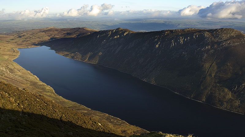
A final short haul gained the summit under locally blue skies and virtually no wind, although the snow-lined uppermost ridges of Llewelyn were still intermittently plagued by mist. We offloaded our packs and took a leisurely stroll around the summit area to admire Llyn Cowlyd far below and Llyn Eigiau to the north, scene of our last backpack in this region.
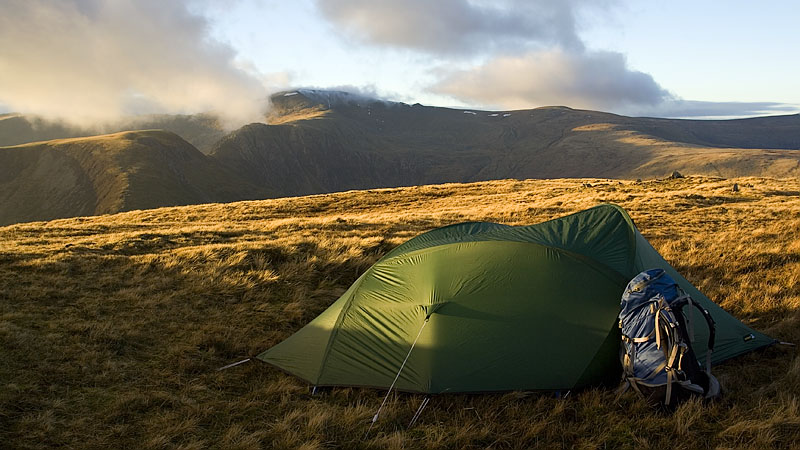
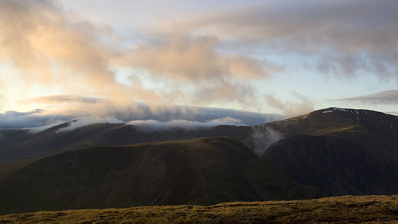
The temperature was dropping noticably well before sunset and we put on our down jackets as we pitched the tent. Later we were treated to an evening glow on the landscape and a mountain studded view towards Moel Siabod and beyond, trying to name as many mountains as we could just from their silhouettes and positions. The mist made a more determined effort to drape over Llewelyn's slopes and we thought about the possibility of an inversion the next morning as the sun sank behind Glyder Fach.
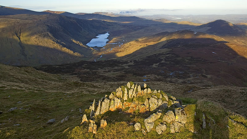

Answering nature in the middle of the night, as per usual nowadays, the tent and grass were thick with frost and my frozen shoelaces stood up rigid like a pair of drumsticks. Crunching along in the icy calm air, it's easy to be mesmerized by the splendid view of the Milky Way, only slightly diluted tonight by the bright moon. Surprisingly the low sinking mist of the evening had vanished completely and the distant clustered lights of the coastal towns stood out clearly.
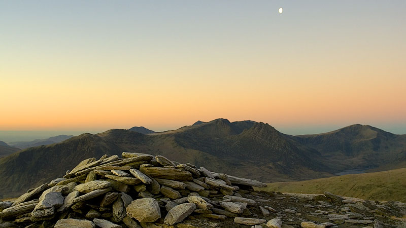
By morning the pre-dawn pallete presented an unusual flavour of early light: a slaty-blue sky and yellow-orange hue on the land and superb clear views in the still air. A short time later the colours had shifted to the more common shades and the sun peeped over Creigiau Gleision as a grey frozen Llyn Cowlyd was revealed in deep shadow.
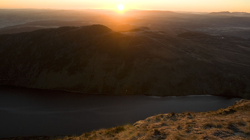
Before striking camp I wisely spent a few minutes carefully thawing my shoes over the stove whilst drinking a welcome hot brew - they had frozen stiff and it was difficult to put them on let alone walk comfortably in them. All was well as we began the descent to Bwlch y Tri Marchog and the frozen ground was fortunately dry with no ice. A few of the Carneddau wild horses were grazing below in the frosty Cwm Tal-y-braich, we would see more of them later at close quarters.
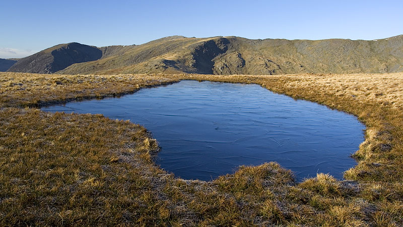
A stiff icy breeze came from nowhere on the ascent of Pen yr Helgi Du and the first day walkers appeared on the ridges of Carnedd Llewelyn ahead as we took a relaxed stroll around the summit area and frozen pools.

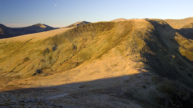

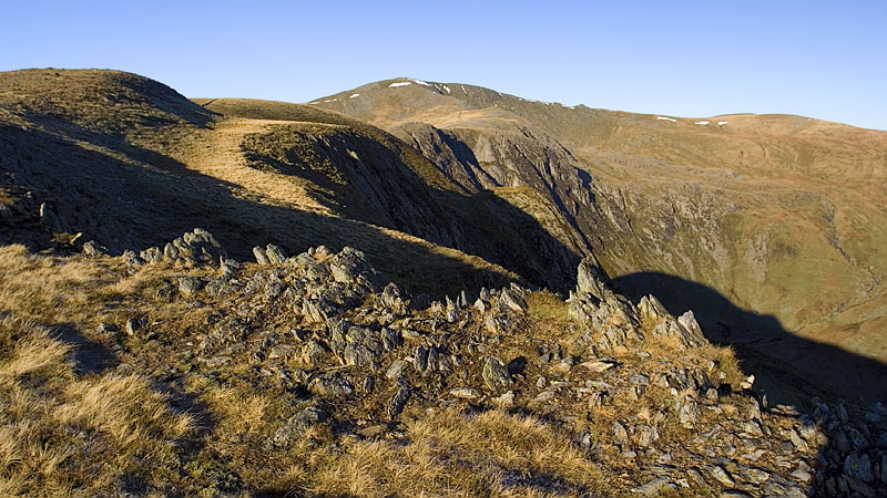
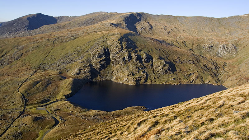
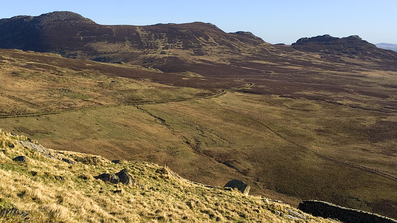
The long grassy south ridge of Pen yr Helgi Du is a perfect descent line and we diverted westward a short way for a view of Ffynnon Llugwy beneath the crags of Craig y Llyn and Cwm Llugwy. We made a mental note to plan a new route via the lake for a future backpack, possibly ascending Llewelyn via Craig Llugwy. On the east side is a view to the rocky heathery tops of Craiglwyn and Craig Wen across the broad expanse of lower Cwm Tal-y-braich.
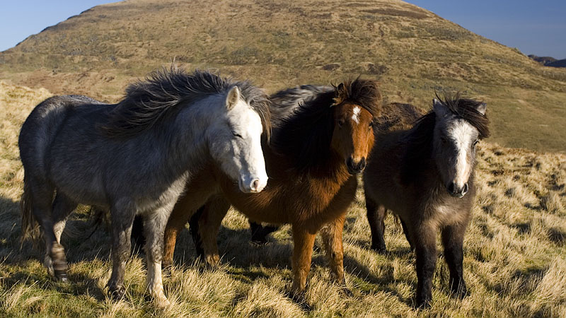
Lower down the ridge a group of wild horses came galloping out of nowhere and gathered expectantly ahead of us, looking glumly on as we walked past and repeating the ploy at intervals until we reached the cross wall.


The path arrives at a footbridge over a leat: the continuation south-westwards is vague and boggy at times, but a guiding ladder stile is visible below to the right of a cluster of small enclosures. It arrives at a farm track bridleway and meets the A5, continuing on the far side to cross the river and join the track of Telford's old road, an easy and pleasant hike along the valley directly to the car park at Capel Curig. From valley level the architecture of Tryfan is at last seen in its isolated splendour.
