
| OS Route Map → | GPX Route file → |
Date: 22 May 2023
Start: Cynwyd / Finish: Y Bala.
Maps: Explorer 255 Llangollen & Berwyn + Explorer 018 Harlech Porthmadog & Y Bala.
| Day 1 | Mynydd Mynyllod & Llyn Caer-Euni | 8.9miles / 2212 feet (14.3km / 674m) |
| Day 2 | Orddu & Foel Goch | 8.0miles / 928 feet (12.9km / 283m) |
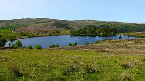
A two day trek taking in the high country north of the upper Dee and a new crossing route to a southerly approach to the north eastern Arenigs.
The outward section takes a new line to gain the old familiar ground of Mynydd Mynyllod. The crossing explores new territory including the little known Llyn Caer-Euni and ascends the easternmost hills of the Arenigs from the south, including the new summit of Orddu.
As is often the case, following little used public footpaths in god forsaken parts of Wales was at times… interesting. On routes such as this, I'm beginning to like GPS based phone mapping more and more if only for its accuracy in nailing down the precise line of the right-of-way and our current position. We made extensive use of it on this trip.
This was a curious weather stream, forecast to be generally dry and fine but with unpredictable cloud: the first day was mostly sunny but the second was completely misted out in the Arenigs - win some, lose some. The whole area was completely deserted save for a couple of local residents.
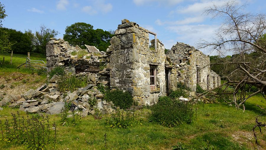
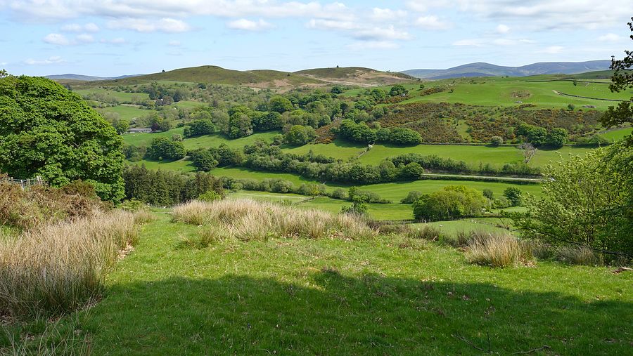
We crossed the Dee at Pont Dyfrdwy and followed the lane south and west to the bridleway at Tyn-y-wern signed by a blue waymark from the farm drive. This enters a dense pleasant woodland where we soon encountered the first surprise: this path is rarely used and overgrown at a choke point requiring some deft manoeuvring to pass. Sharpening our concentration on the exact mapped line, we passed the ruined dwelling near Twr and gained the high traverse of Mynydd Mynyllod with good views. A couple of red kites made a low pass to delight the eye.

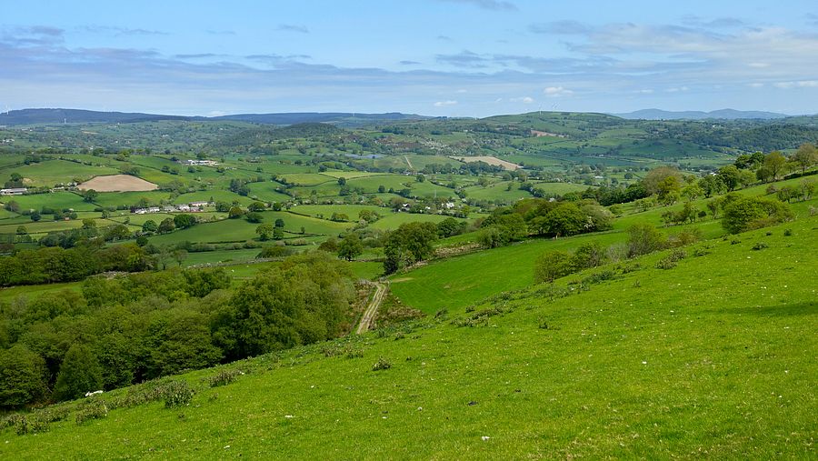
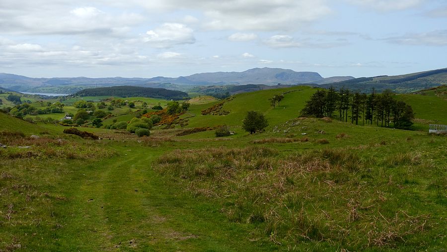
We descended south-westwards to the road head and lower down we left the lane for the bridleway northwards to Bethel on the A494. From the road junction the bridleway to Llyn Caer-Euni starts up the driveway of the first house on the minor lane: the true line is an overgrown sunken lane but a much easier ascent can be made on the edge of the unfenced field. A short sharp ascent to Waun Fawr leads to a smart new gate and the path to Llyn Caer-Euni with a pleasing view back to Mynydd Mynyllod.
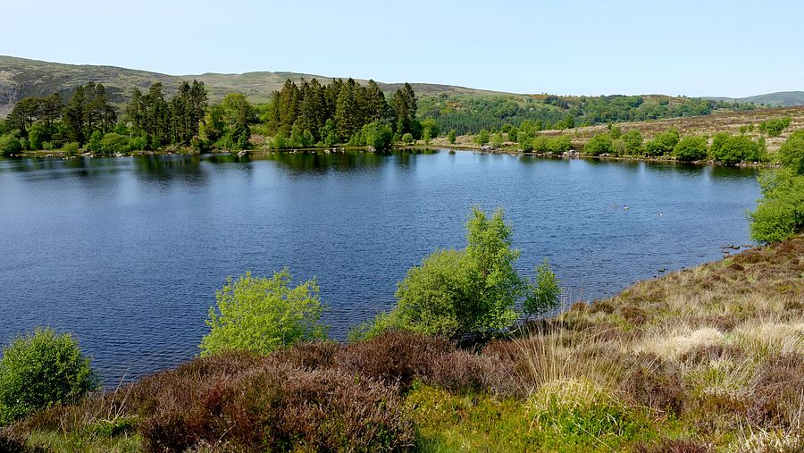
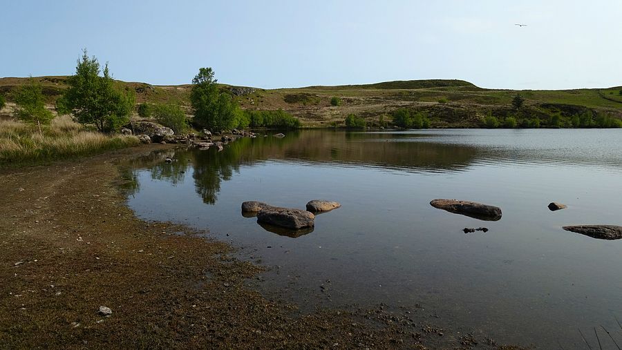
The environs of the lake are generally very rough with heather, reeds and tussocks, and sometimes boggy, but the narrowing path can be traced almost to the edge of the water at the eastern end, leaving only a short trackless turn of the corner to gain easier ground on the eastern shore. From here this is a lovely lake with a small beach of sorts at the far end furnished with boulders to sit and linger in the warm sunshine.
The footpath descends by the outflow stream to a gate onto a lovely woodland track in Coed Bryn-du with carpets of bluebells.


The footpath reaches a cross track and the waymark points directly across it, in accordance with the map. We looked down into the steep tangled gloom and thought "no bloody way!". We turned right and walked a short way to another mapped track that would join it lower down, but now the situation seemed clear: this was indeed the line of an old track, now overgrown with head-high saplings competing against the established trees. We set off cautiously into it and it is passable without significant difficulty, even arriving at a smart new walker's gate lower down.
From the foot of the slope there are no more waymarks until the minor road and this is a messy layout of hedges and fences needing careful micro-monitoring of the footpath line. Across the road a waymark directs up the sharp ascent of Craig Wenallt to an easy track towards the Nant Cae'r-ceiliog. Here was the worst difficulty: the dwelling at Hafotty Isaf is inhabited and surprisingly modern, the mapped footbridge on the right-of-way being in their garden and inaccessible.
Rather than pursue the matter, we stepped over a low fence and easily crossed the flow a little upstream of the house, ascending the field to the northernmost corner where we crossed another easy fence to access land as indicated on our OS route map. A strong chilly wind had developed and we ascended the easy grassy slopes of Moel Cae'r-ceiliog, contouring around to the bwlch to find a pitch spot. Walking around the breadth of the bwlch we found a sheltered pitch and called it a day.


At dawn the weather had broken and all was enveloped in mist, the flysheet and grass dripping with dew. We were also besieged by black slugs, the grassy landscape often covered by them in these conditions. We broke camp and made the first dreary ascent to the minor top of Pen y Cerrig-serth and thence along the ridge to the new 500m top of Orddu, a gloomy first contact with no views.
Approaching the bwlch of Foel Goch we met a local taking his two dogs for a romp, he seemed astonished to see us and even remarked that he "never sees anyone up here". From his polite but probing casual questions, including an enquiry about whether we had a map, I reckon he thought we must be clueless idiots who were lost (he wouldn't be the first).
The views were the same or worse on Foel Goch with no sign of clearing any time soon. It was still an enjoyable trek following the mapped footpath eastwards towards Garnedd Fawr and south towards Moel Emoel and Llyn Maen Bras where the tops had just about cleared behind us but were still gloomy.


From the gate just above Llyn Maen Bras we followed the same route as previous visits, using forest tracks to bypass the difficulties we encountered previously on the direct footpath around Penmaen as indicated on our OS route map above.
The last part of the route follows the footpath westwards to the lane into Y Bala named Lover's Walk through a narrow strip of woodland - be sure to use the walker's gates provided in this highly corralled area. There are superb mature trees to appreciate, but the constant attention required to avoid the numerous fresh cow pats, along with the pervasive aroma, is not really conducive to romance in the air!.