| OS Route Map → | GPX Route file → |
Date: 08 May 2024
Start: Dolgarrog / Finish: Llandudno Junction.
Maps: Explorer 17: Snowdonia & Conwy Valley.
| Day 1 | Coed Dolgarrog & Cwm Eigiau | 8.7miles / 1883 feet (14.0km / 574m) |
| Day 2 | Tal y Fan & Mynydd y Dref | 10.7miles / 1815 feet (17.2km / 553m) |
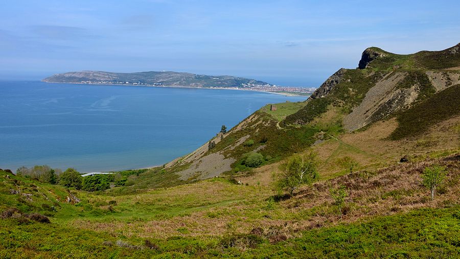
A 2-day circuit of Cwm Eigiau and the northernmost Carneddau hills, from Dolgarrog on the west side of the Conwy valley to Llandudno Junction station.
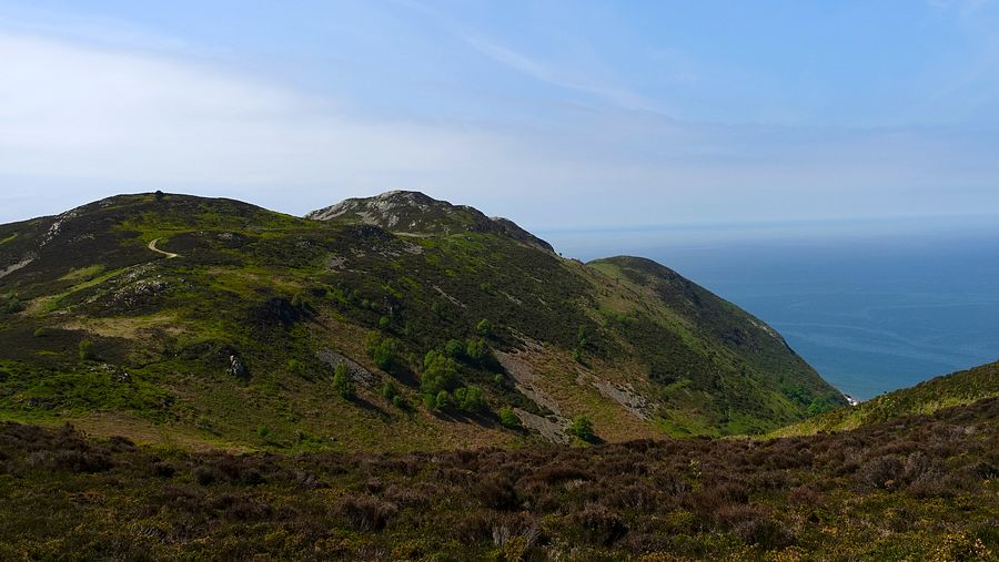
The outward line starts at the Dolgarrog Dam memorial walk and climbs through the Coed Dolgarrog nature reserve to a low-level route around the Cwm Eigiau valley flank. The return ascends Tal y Fan and follows good paths and tracks through the hills around the Sychnant Pass, traversing Mynydd y Dref (Conwy Mountain) to Conwy.
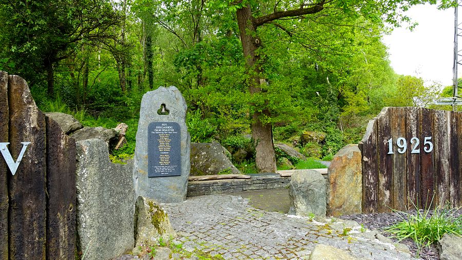
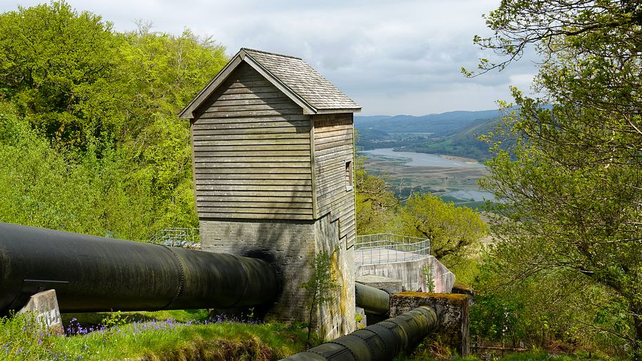
We are very familiar with the steep climb westwards through Coed Dolgarrog Nature Reserve near the water pipes, but we had not heard of the memorial walk: we discovered it when the 19 bus dropped us a little farther north opposite the entrance, furnished with a bench and information board outlining the Dolgarrog dam disaster of 1925 when the Eigiau gravity dam failed after weeks of heavy rain. The flood water surged into the Afon Porth-llwyd and overwhelmed the Coedty reservoir embankment dam downstream that collapsed, sending the whole lot thundering down the steep slopes along with mud, concrete, debris and huge boulders, some weighing hundreds of tons, that are incorporated into the start of the walk route. The map shows that this path joins our usual route part way up and is a lovely walk through the steep, densely wooded rocky slopes.
Today the stile by the pipes onto the upper section of our usual route had a notice: "Footpath closed…due to trees/boulders on the path…". Right, we've seen this sort of thing many times before and we were not about to give in and lose that hard fought ascent!. There were no difficulties at all: one tree had fallen and was held in place by a steel cable to prevent further slippage, not across the path and causing no problem.
After a hiatus of several months in the flatlands of Cheshire and doing what little we could to keep up fitness, the steep ascent was worringly taxing on the system and we were glad of the long level section into Cwm Eigiau along the flank of the Afon Porth-llwyd, always an easy but rewarding walk. The sun was breaking through the grey cloud very occasionally but the higher tops were distinctly dull and murky. Despite the particularly wet winter months, the water level of Coedty reservoir seemed low to these untrained eyes.
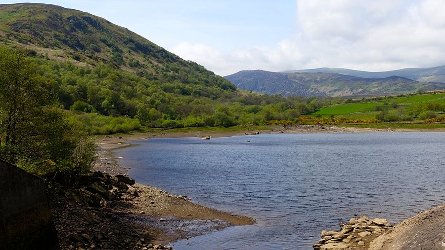
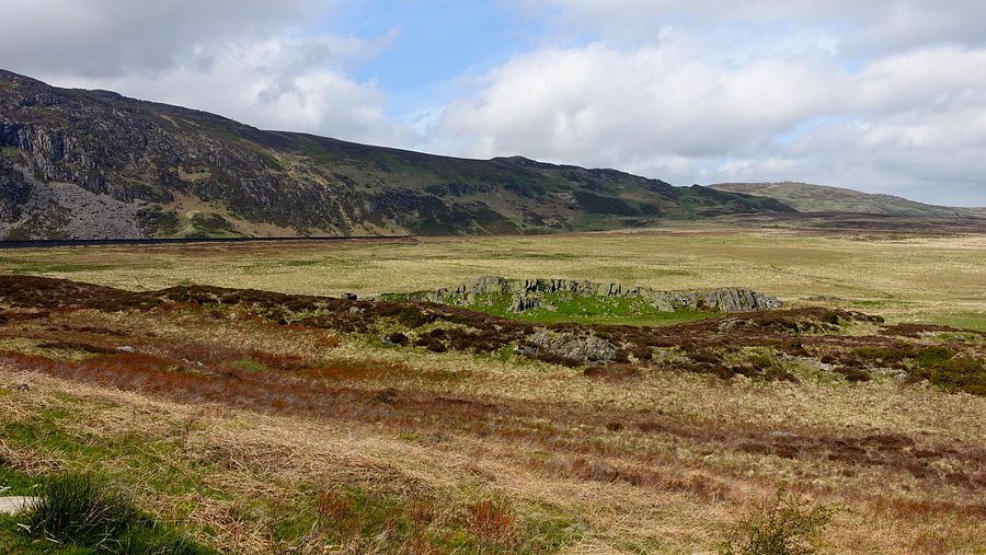
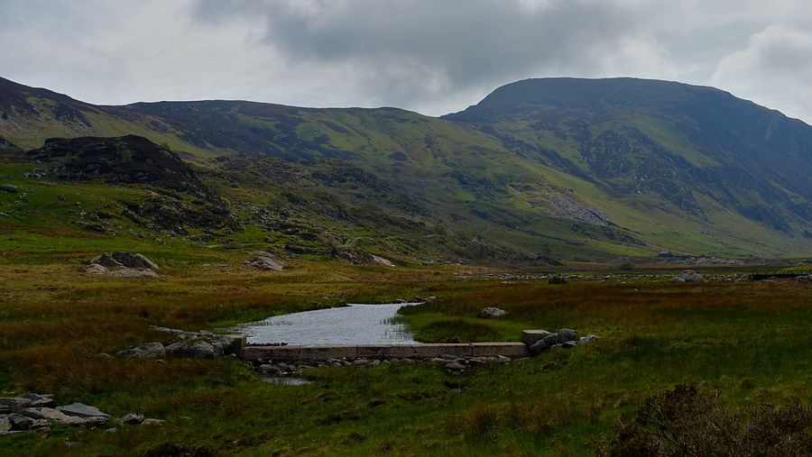
Arriving at the Eigiau dam, the sun would not vanquish the thick cloud as hoped and a stiff breeze had developed. Stopping for a bite to eat and grabbing a couple of pictures, we decided to follow a lower line back along the valley rather than climb to the high tops for a potentially wild night of windblown clag - anyway our current fitness level rather forced the issue!.
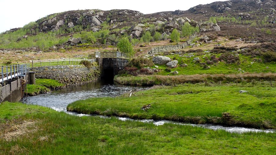
We took the track to the cwm car park, crossed to the foot of the slopes and picked up the good track that descends to the ruined buildings of Maeneira and the small dam at the confluence of the Afon Melynllyn and the Afon Ddu. Taking the line of the public footpath westwards, just after crossing the Afon Ddu we turned right on the western side of the stream on a squelchy line to join the higher footpath that recrosses it.
The stream was flowing quite strongly and we found a point to clamber laboriously across the boulders. Once across, we noticed it: a few metres away was a small footbridge, not shown on the map and hidden behind a bush.
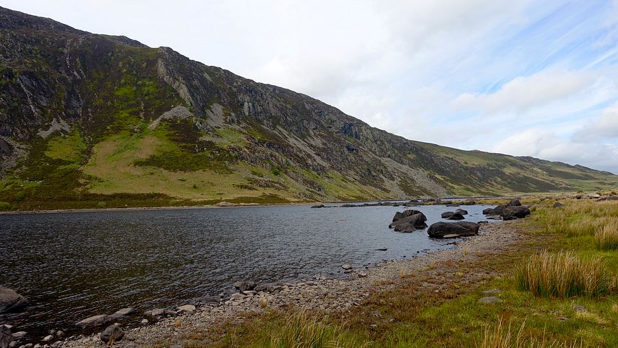
The footpath heads eastwards on an intermittently wet line, punctuated at intervals by small concrete posts labelled "Cable below", reaching a waymark post directing the path up and left around the private enclosures at the ruined Tan-y-bwlch where a couple of guys had tents and a hammock set up along with a fire.
By this point we were looking for a pitch but the terrain was most inconsiderate, always sloping down uniformly to the path with no flat bits that we could see, at least from this level. The mood wasn't helped by a persistent cuckoo who ignored our pleas to put a sock in it. We finally found a reasonable spot just big enough for two bodies, still sloping somewhat and with 2-tier vestibules, but no prohibitively awkward lumps or vegetation and shielded from view by a bush. It turned out rather more comfortable than expected, we've certainly had worse.
There was at least a pleasing dawn sky to start the day and provide a pitch photo.
The onward footpath from SH 74073 69619 is on the west side of the wall but the map shows it on the east side. It reaches a byway that descends north-eastwards to a lane that we followed across the Afon Tafalog and up to the footpath sign marking the good path to Tal y Fan. The footpath crosses the upper wall via a ladder stile at a point higher than shown on the map and continues to the ridge at the western bwlch.
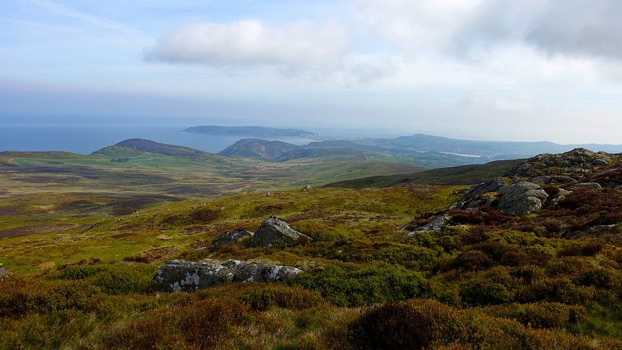
There is a path around the western end of the rocky rib but the direct ascent is far more enjoyable, a very easy clamber up the rocks to reach the summit trig point. The sun had triumphed at last and there were fine views ahead to the northern hills and the sea at Conwy.

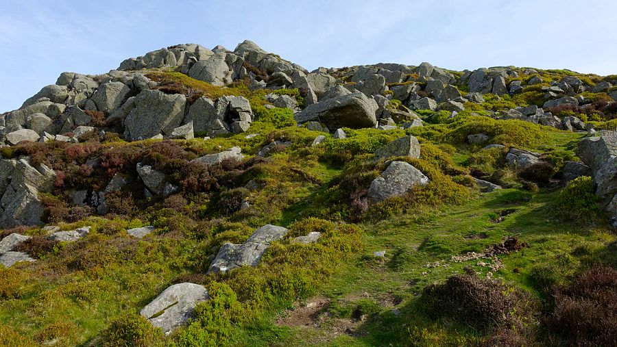
From the trig point an easy path descends a short way directly to the grassy ground at the foot of the rockpile where a good path leads north-eastwards. Bearing rightwards at the wall corner we picked up a path descending on the east side of a tiny stream to a disused quarry enclosure. The main quarry access track leads easily down to a path junction where we turned right onto the good track around the flank of Cefn Maen Amor.
Approaching a road head with a tight cluster of sheepfolds, a contouring path cuts off the corner and turns north-westwards towards the crossing line of the North Wales Path (NWP). The line of the NWP shown on the map here is now wrong and crosses awkward terrain: the modern good path, clearly visible, branches north-eastwards around 70m sooner as shown on our OS map.
We followed the NWP to the Sychnant Pass, a fine walk with views to the heathery cone of Foel Lus and ahead to the hills west of Conwy.
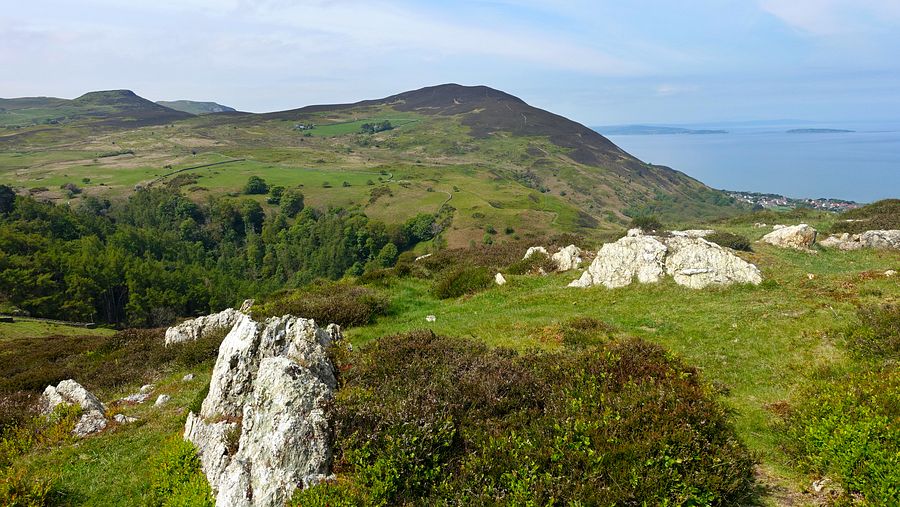
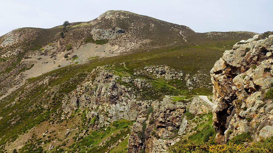
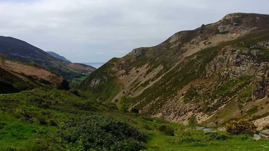
Arriving at a busy Sychnant Pass, we were reminded just how popular these local hills are, not surprising with rugged scenic beauty and fine views for little effort. We encountered many walkers including a couple of backpackers with huge packs and a young couple walking a ferret in a harness.
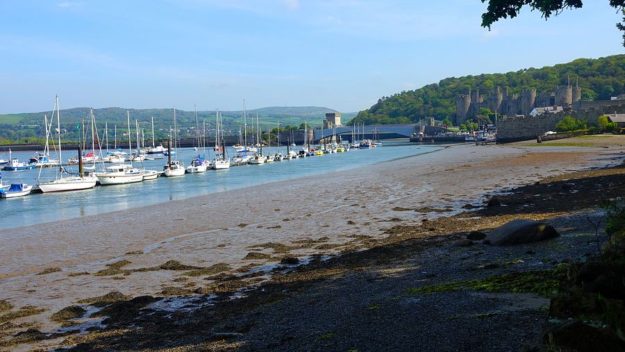
These hills are a maze of well worn tracks and paths, excellent easy walking but a watchful eye should be kept on micro-navigation around the rocky high ground of Mynydd y Dref (the NWP avoids the top and takes a lower flanking line). From the summit area we descended a path that rejoins the NWP to the western outskirts of Conwy and around Bodlondeb Wood to the bustling beach walkway and Conwy Castle.
A walkway/cycleway adjoins the main A547 road across the estuary. Part way across we descended steps to the lower level and joined Conway Road leading to Llandudno Junction station.
