| OS Route Map → | GPX Route file → |
Date: 22 Sep 2025
Start / Finish: Tal-y-bont.
Maps: Explorer OL18 Harlech, Porthmadog & Y Bala.
| Day 1 | The Afon Ysgethin & Moelfre | 3.8miles / 1811 feet (6.1km / 552m) |
| Day 2 | The return | 3.8miles / (6.1km) |
An open ended walk with the main target of the new 500m summit of Moelfre, a grand hill forming an isolated outlying spur of the South Western Rhinogydd.
The route follows the splendid riverside path from Tal-y-bont along the Afon Ysgethin to Pont Fadog and leaves it for a good track through pastoral land to ascend Moelfre from the south.
Like the last trip to the South West Mawddach on which I suffered a bad fall and gashed my eye socket - now healing remarkably well - this was another trip allowing for up to three days but soon curtailed. An ongoing ankle problem became considerably worse on the final steep ascent, also walking performance seemed to have nosedived again to really worrying levels. Assessing the possibilities at the pitch, we decided that none of our route ideas would be happening this time and the only feasible option was to retrace the route back to Tal-y-bont.
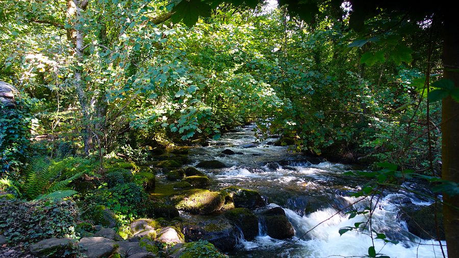
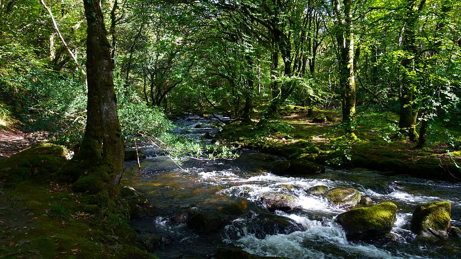
The recent rains had swollen the Afon Ysgethin to roaring levels, a gorgeous walk in the dappled sunshine of the woodland and the highlight of this trip. An unusually cold airstream for the equinox was coming from the north and made for a chilly experience at height.
The start of the riverside path is by the car park and toilets in Tal-y-bont and signed to the Taith Ardudwy (TAW), a route we walked in 2021.
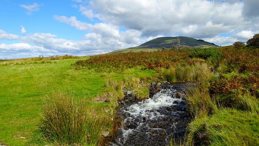
Arriving at a metalled track just before Pont Fadog, we turned left on the track. A few metres along is a sign indicating the public footpath northwards but this line was high man-eating bracken with no trace of a walkable line: we continued north-westwards on the track to a road head, passing what we thought would be at best a trickle of water but was in fact a fast flowing stream. A track heads north-eastwards to meet the TAW at a gate.
Surveying the trackless lower slopes ahead, we weaved a slanting line towards the plantation avoiding the scattered patches of prickly gorse. Once at the fence the terrain eases to agreeable grass giving a straightforward but unrelentingly steep climb. The required foot movements and placement angles quickly took their toll on my ankle and the steepness made progress pitifully hard and slow.
The barbed wire fence offered little support, being in a state of near-collapse (like us!), and we remarked on the one big advantage of hills like these:- solitude. Then as the angle eased slightly we saw a bunch of heads appear above us… then a few more… and more. It was a guided group walk of around 20-30 descending in dribs and drabs and seeing us at our worst.
Right at the top where the fence meets the stout ridge wall, the last metre or so is not barbed (the remains of a stile lie on the ground) and we crossed easily to the eastern side. A ladder stile then gives access to the northern side of the wall where a faint line heads for the large summit cairn and its fine views.
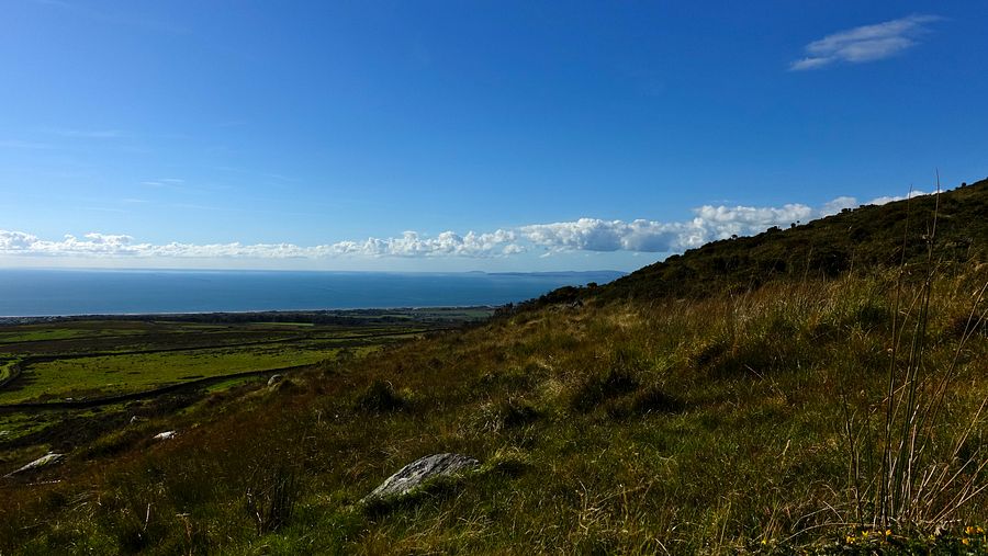
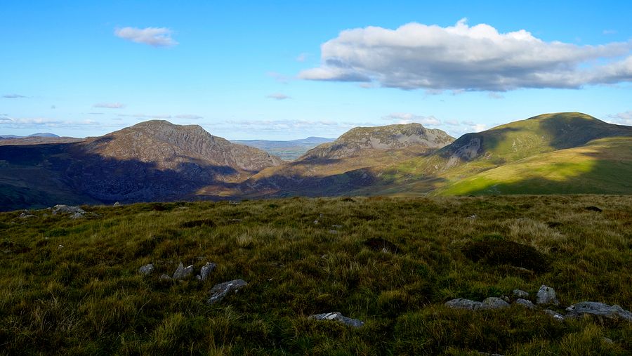
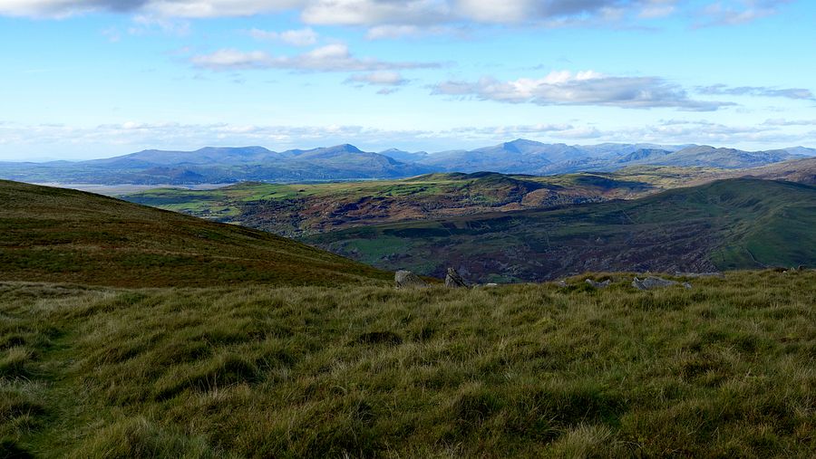
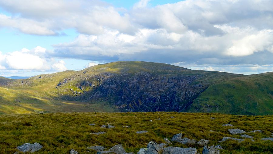
We didn't linger long at the summit in the cold wind and we set about finding a pitch, the best and most sheltered spot was back on the southern side of the wall. We retired and considered our status and options, reluctantly deciding to reprise the route back to Tal-y-bont.
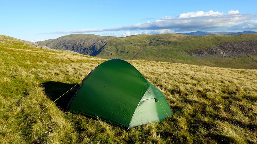
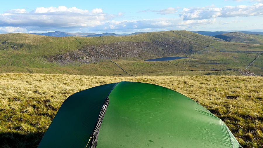
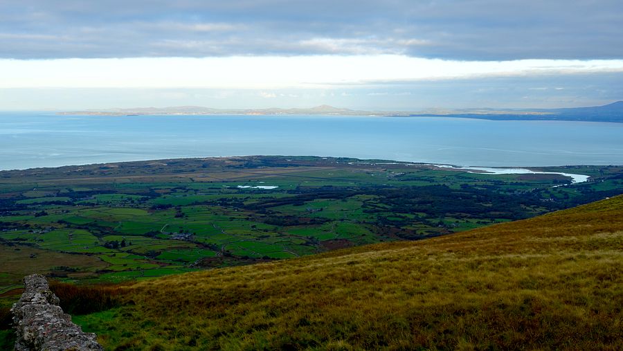
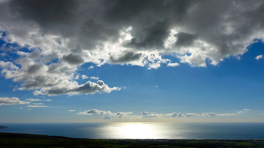
The early sky had slow moving banks of grey cloud mixed with clear patches of blue, the Lleyn Peninsula getting the best of the sun.
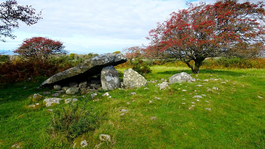
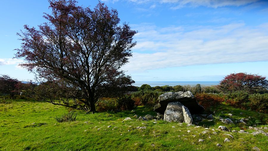
We packed away a very wet tent and started the descent, but this time the foreshortened downward view hid some of the gorse patches: needless to say we became ensnared in a few of them and landed prostrate in one - ouch!. Once back on the track progress was quite swift and this time we stopped to grab some photos of the burial chamber marked on the map.
Having already scaled down our ambitions and routes a lot, this pathetic performance was really a watershed moment and calls for some serious rethinking.
