
| OS Route Map → |  |
GPX Route file → |
Date: 25 May 2026
Start: Pont Rhydgaled / Finish: Machynlleth.
Maps: Explorer 023 : Cadair Idris / Llyn Tegid + Explorer 214 : Llanidloes & Newtown.
| Day 1 | Wye Valley Walk & Pen Pumlumon Arwystli | 4.2miles / 1440 feet (6.7km / 439m) |
| Day 2 | Carnfachbugeilyn, Glaslyn & Llyn Cwm-bwr | 6.5miles / 501 feet (10.4km / 153m) |
| Day 3 | Foel Cerrigbrithion, Bwlch Hyddgen & Bwlch y Groesen | 6.7miles / 966 feet (10.7km / 294m) |
| Day 4 | Bryn Coch Mawr & Ffridd Rhiwlwyfen | 4.3miles / 317 feet (6.9km / 97m) |
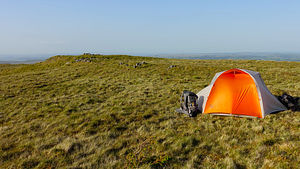
A 4-day eastern route through the Pumlumon hills of mid Wales.
This was planned as a 3-day trip but forcibly extended en route by an extra night due to misjudged effort, blistering heat and some atrocious, debilitating terrain.
It approaches via a section of the Wye Valley Walk (WVW) to ascend Pumlumon Arwystli and continues northwards through the heart of the hills around Carnfachbugeilyn and Glaslyn.
The route then heads westwards around Llyn Cwm-bwr and through the Esgair y Ffordd forest to ascend Foel Cerrigbrithion and traverse Bwlch Hyddgen, finally picking up Glyndwr's Way (GW) through the northern hills towards Machynlleth.
The first day was a bank holiday Monday and the initial WVW section follows the main access track through the Sweet Lamb sports complex: we had visions of a hectic scene here with crowds milling around, but the whole area was eerily deserted, as were the hills beyond. We saw no other walkers at all until a solitary GW walker appeared near the end of day 3, our only sighting in the four days.
The extra night meant scouting the phone mapping for a reasonable pitch spot, not easy on such a small screen in this area, but we found a good woodland one. As it turned out, it also meant that for a significant portion of that night, we were pitched in a dramatic thunderstorm.
Recently several of my planned routes have been culled entirely or hacked apart to form shorter easier ones, even those designed only a couple of years ago but, evidently, I still sometimes think in the old ways and overestimate our capability relative to the route. This trip was highly instructive regarding food in this situation: stretching out the food to last another night and morning was a non-problem. In our exhausted state we could barely face the thought of eating anyway, only managing to force down a small amount and only because we knew we should.
The X75 bus dropped us at the Sweet Lamb entrance where a WVW waymark post is on the left and a pedestrian gate on the right. The WVW gives easy walking on the facility access track by the Wye, a quite attractive line flanked on the west by Llechwedd Hirgoed and on the east by Y Foel, though it seemed overly tiring today with the hard surface and pale colour reflecting the hot sun.
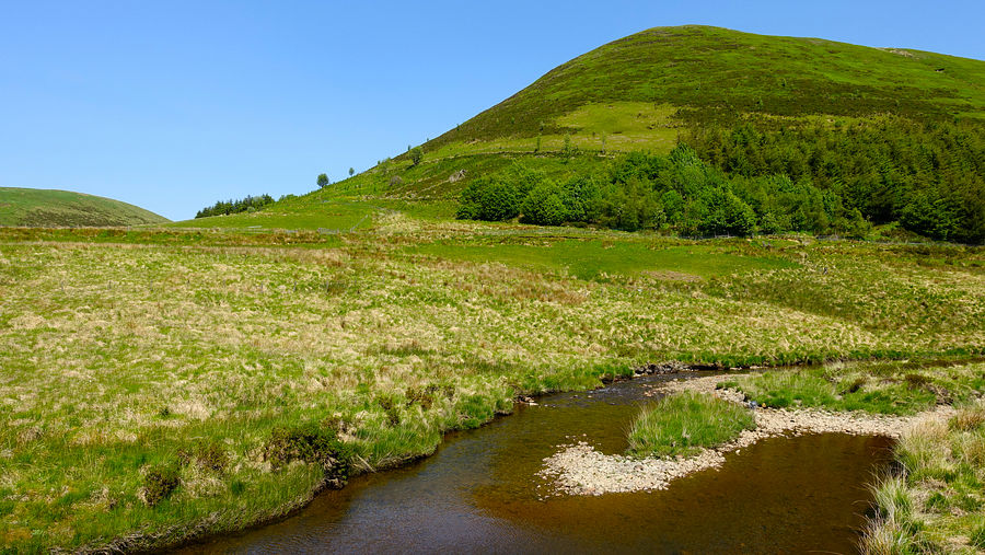
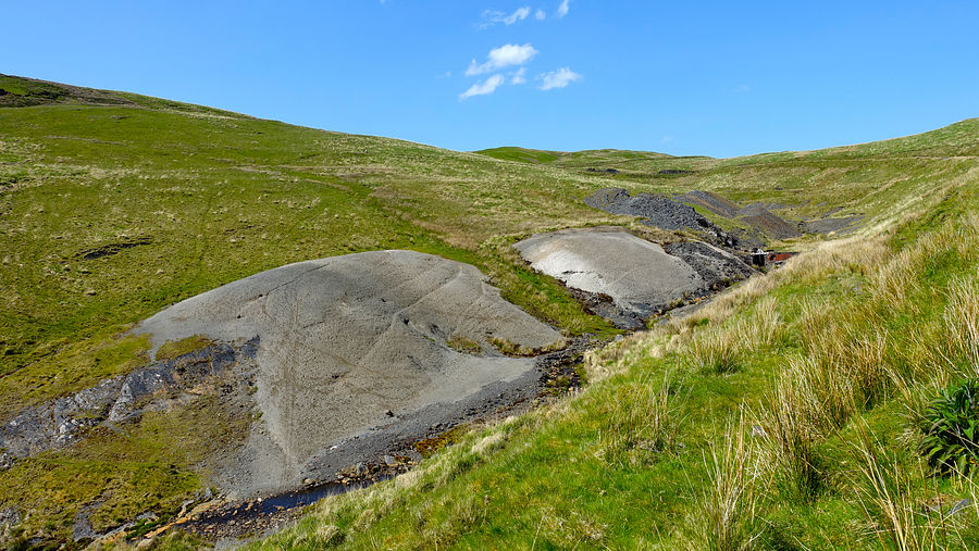
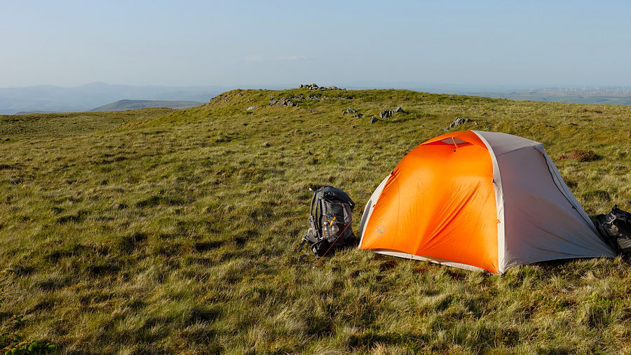
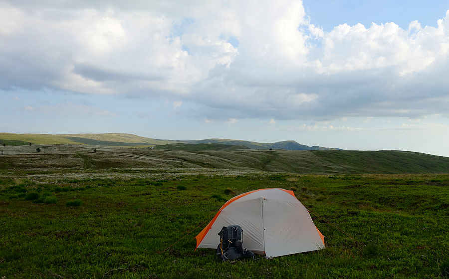
Arriving at the site of the old mine workings the track splits: the north-eastern branch continues into the forest to join the Severn Way, the western one curves around for the final fragment of the WVW. Taking the western fork for a short way, the track splits again, we took the right fork northwards and quickly spotted a grassy tractor track heading up the hillside on the right of a channel as shown on the linked OS map above. This track leads all the way to the summit area of Pumlumon Arwystli where we made our first pitch.
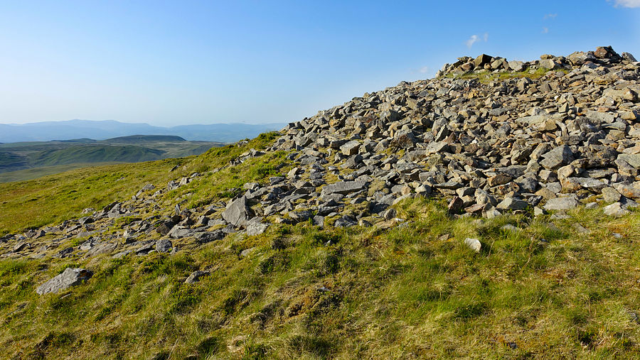
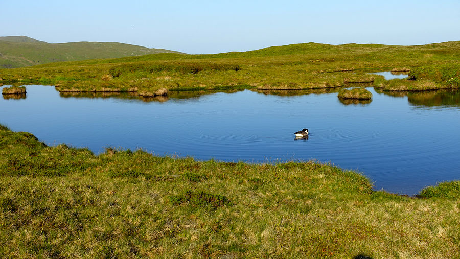
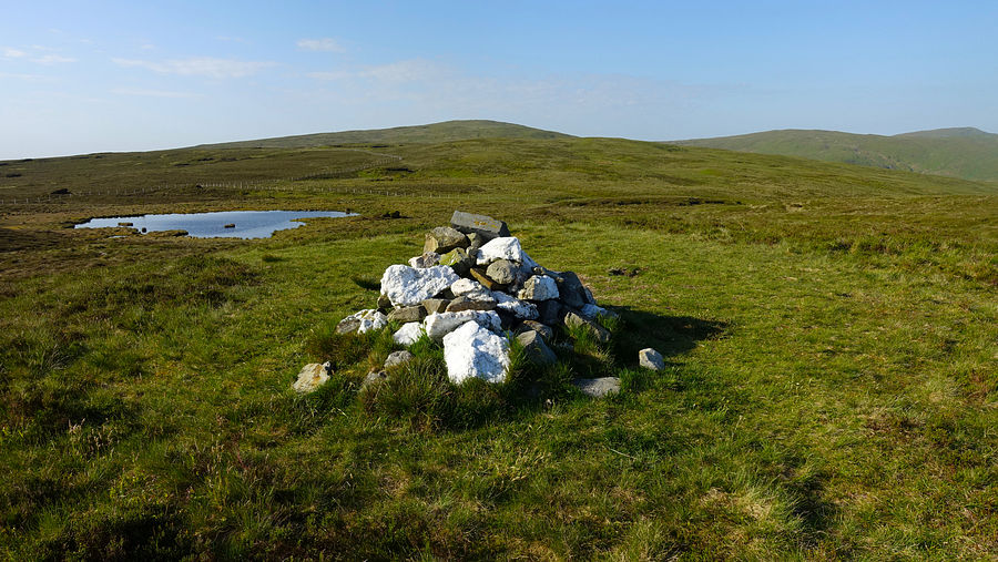
A clear morning brought fine views and easy walking northwards along the ridge fence towards Carnfachbugeilyn, passing a boundary stone and adjacent pool. The next larger pool had a solitary Canada goose and just beyond we met a very well maintained crossing path that leads eastwards to the start of the Severn Way and westwards to a nearby prominent cairn. We took a quick diversion to the cairn and returned to follow the fence around eastwards to Carnfachbugeilyn. Fewer walkers venture here but there is a trodden path to the fence junction.
At the fence junction we descended northwards on the eastern side following a trodden path to the foot of the slope. This is where the path disappeared and the trouble started - the traverse of Cors yr Ebolion.
We planned to continue along the fence to the corner of the forest and then follow the valley floor to the Nant Ddu, cross it and pick up the GW trail, a distance of just 1.1km to meet the stream. The terrain was horrendous, constant variable sized vegetated tussocks and hidden holes, needing immense concentration and balance control with almost every step. In the fierce heat this exhausting traverse took a very long time. We eventually arrived at the Nant Ddu ravine and descended to the stream to rest in its shade for a while.
We knew right away that our planned schedule was impossible and we would have to incorporate an extra night (in hindsight a 4-day schedule for this route would have been far better and more comfortable for us anyway in these conditions, even without that punishing effort). Walking onwards towards Glaslyn on a good track, though slow, was a major relief in itself.
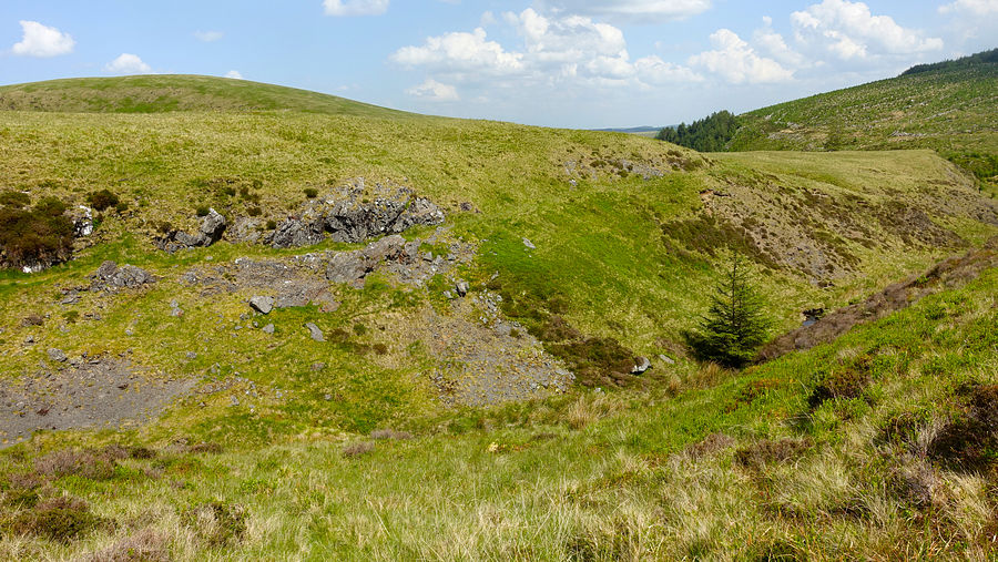
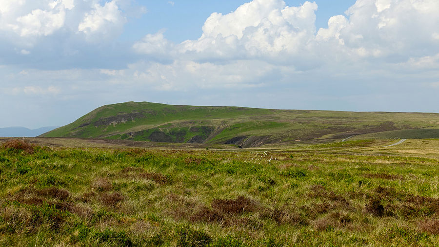
On the track bound for Bugeilyn a group of mountain motorbikers passed us presumably heading back to the nearby road. Approaching the lake, we took the right fork that leads around Llyn Cwm-bwr and above the towering cliffs of Tarren Bwlch-gwyn, sadly not visible from the track though the cliffs of Tarren Gesail can be seen.
We were almost drained at this point and we would scout for a pitch very soon, but first we wanted to fill our platypus water container and we had studied the map, it showed a couple of good contenders. The first, Rhaeadr Wen was worringly dry. The second more promising one was Rhaeadr Ddu with more little tributaries and a large catchment area on the flanks of Llechwedd Crin, all densely carpeted in cotton grass - a good sign. Descending to the stream line there was only very shallow static water - no flow. We couldn't believe it.
We dropped our packs and followed the dense reedy line upstream a short way using our usual sound technique: any downflow, even a very small one, is audible even if invisible. Close to the stream we quickly picked up that faint but unmistakable sound, it was a very low shelf in the water bed with just enough height to accomodate the neck of the platypus in the weak flow, a task for which it was well designed. We engaged in some vegetative gymnastics in the chaotic jumble of tall reeds and filled up.
A short walk farther at the high point of the track we spied a flat area of close-cut heather where a bit of gardening yielded a quite good patch for the tent. By now the sky was looking rather threatening but it amounted to nothing.
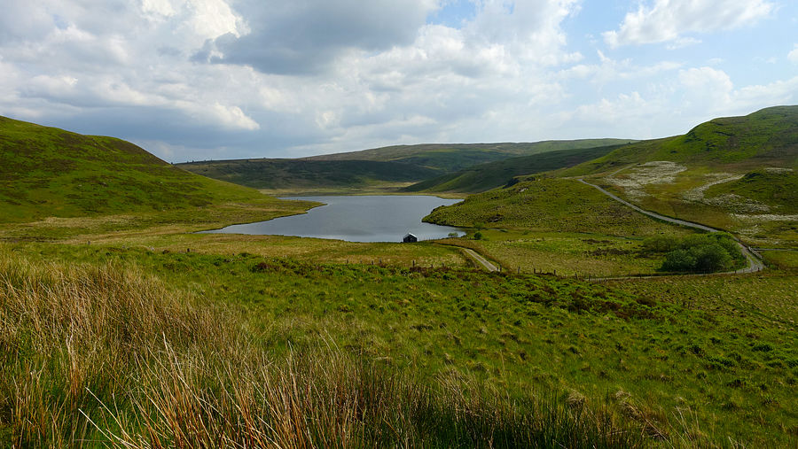
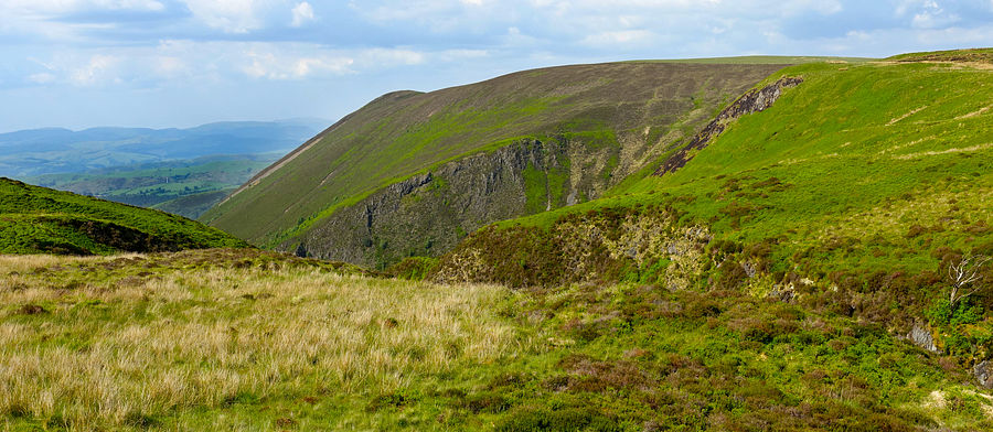
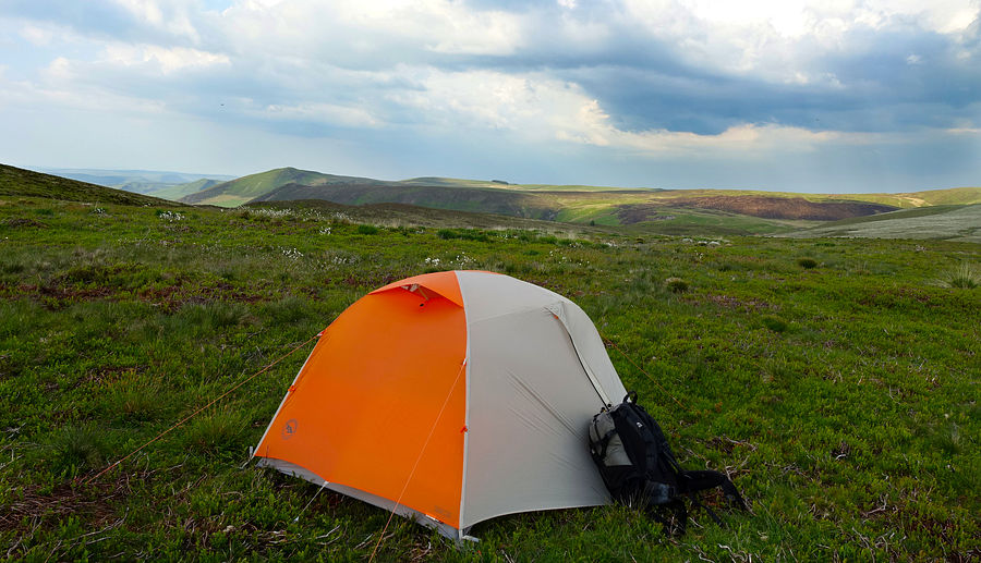

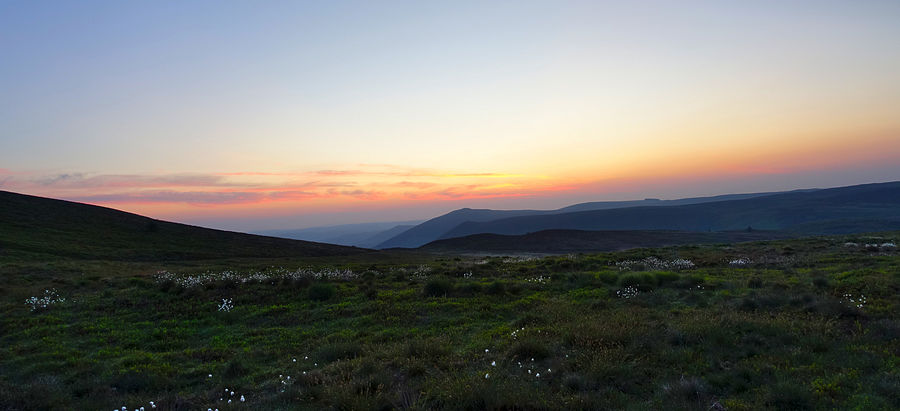
The menacing grey clouds had vanished by morning and dawn broke with a clear sky and some pleasing colour. The track descends along the northern edge of the Llygnant valley to enter the forest of Esgair y Ffordd at a fork. The left branch is the public bridleway with no path shown on the ground, much easier to take the right branch on the forest track that leads easily to some waymark posts and a good confluence of streams for water.
Taking the public footpath a very short way north-westwards, still on a forest track, another track splits off left uphill and provides an easy gradual ascent around the flanks of Mynydd Bychan to reach Foel Cerrigbrithion and the open high ground beyond the forest. These tracks occasionally display this "Explore Dyfi" logo and a mountain biking designation of "Mach1 / Mach2 / Mach3".
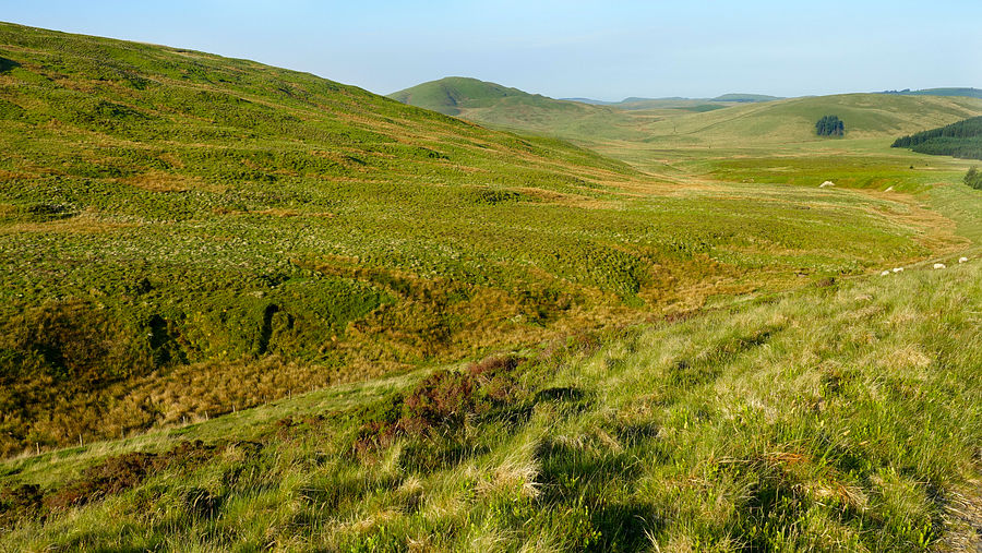
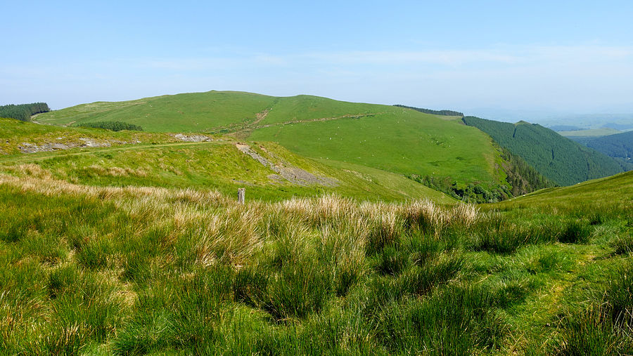
On reaching the open high ground Foel Grafiau and Foel fras fill the view, where a couple of motorbikers were zooming up and down their slopes. We passed beneath one of our pitch spots from the previous Pumlumon trip and continued northwards on the good track across Bwlch Hyddgen towards Pen y Darren, giving a good view of the precipitous forest slopes.
Pen y Darren is host to "The Chute", a steep slaty path bearing a warning at its head to bikers about the gradient and need for care. Near its foot the GW joins the route for an easy walk via Bwlch y Groesen.
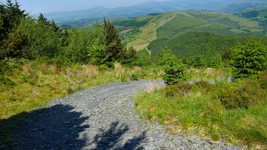
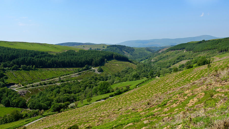
The blazing heat of the day had built to debilitating levels once again and we came across a small dense group of adjoining trees that overhung the track. We sat down in their shade and a cooling breeze while we studied the digital mapping for a pitch spot. We focussed on a small area that showed no sign of regular foot traffic and appeared to be isolated and out of sight. After exploring the area a while we decided on a woodland pitch. It needed a bit of clearance of dead decayed side branches and floor detritus but yielded a decent flat area. Soon the tent was nicely pitched in its tight space.
After getting in and forcing down a little food, we heard it… a distant rumble!. Thunder was likely approaching and indeed it was, faint dim flashes appeared sporadically and the rumbling got louder and louder until it hit us: bright flashes lit up the tent each followed quickly by an almighty bang. This continued for a while and the rain started, though we were spared the feared deluge and it didn't amount to much. The drama appeared to recede but then repeatedly returned from different directions as if circling us. After what seemed like an age it finally abated and we managed to get some sleep.
On the way home we learned that a lightning strike had taken out a rail signal point near Chester leaving a group of stations with no rail service, only bus-replacement services, but our Chester train had been diverted via Crewe and was on time.
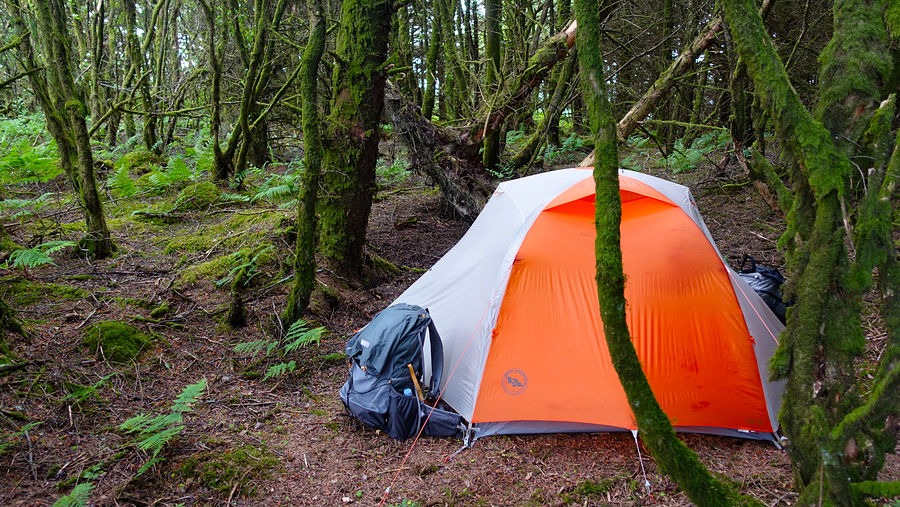
The storm had dropped very little rain and there was next to no evidence of the event on the ground, the morning dawned crystal clear.
GW gave clear views towards the Tarrens as it continued to the last ascent of Bryn Coch Mawr to reach Ffridd Rhiwlwyfen. The woodland here, Coed Rhiwlwyfen, is managed by the Woodland Trust.
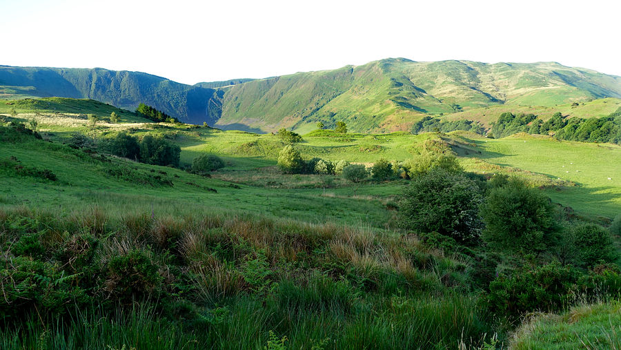
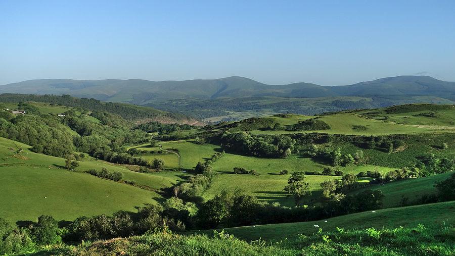
At the northern end of the woodland we left GW for the path that descends directly to the road into Machynlleth. This is an excellent easy path, initially its course is some way east of the official right-of-way as depicted on our linked map above but merges with it lower down where it joins a wall.