
| OS Route Map → | GPX Route file → |
Date: 29 Nov 2008
Start / Finish: Elterwater NT car park.
Maps: Explorer OL6 & OL7: English Lakes SW & SE.
| Day 1 | Lingmoor Fell, Mickleden & Allen Crags | 8.4 miles / 3990 feet (13.5km / 1216m) |
| Day 2 | Martcrag Moor, Thunacar Knott & Blea Rigg | 9.6 miles / 1520 feet (15.5km / 463m) |
A solo circuit around Mickleden, approaching via Lingmoor Fell and the valley path to Esk Hause and Allen Crags and returning over Martcrag Moor via Thunacar Knott and the Blea Rigg ridge.
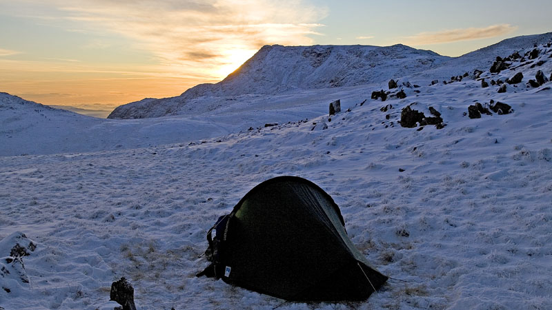
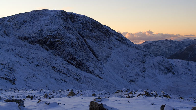
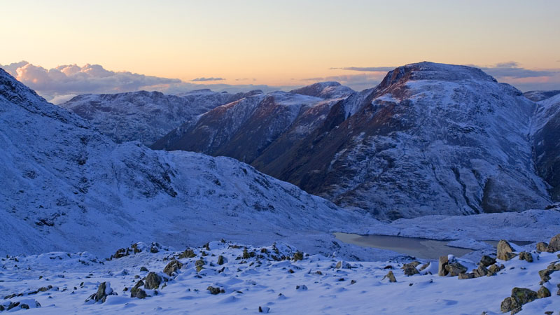
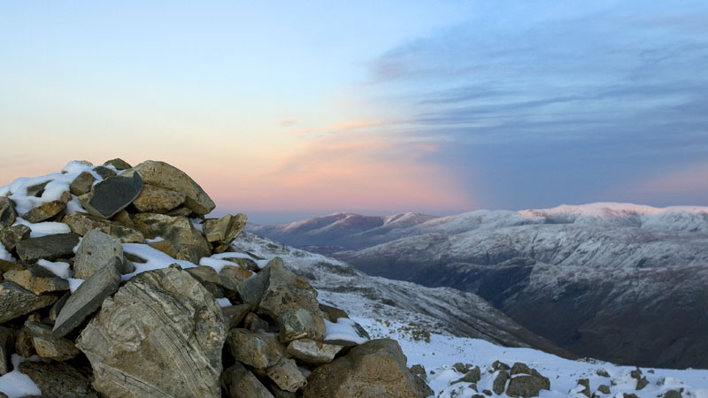
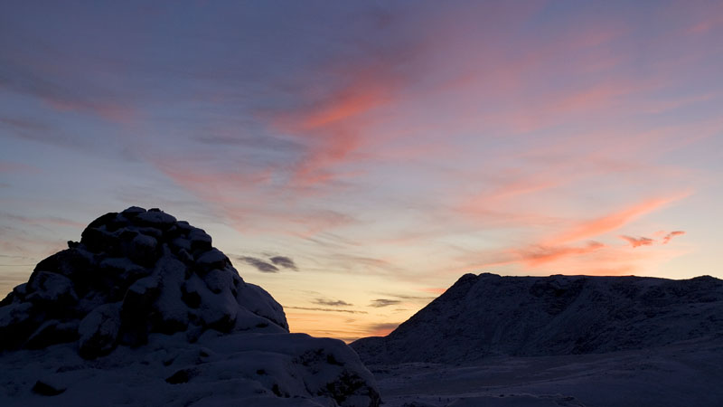
The first backpack in winter snow this season, an excellent round in magnificent clear conditions with hardly any wind. The snowfall had been uneven in the Lake District, with these central and southern fells best covered while the north and north western fells had very little. In fact there was rather more snow here than I anticipated and I didn't even think about taking the Kahtoola crampons, but I didn't need them, as usual, and the walk presented no difficulty. The highlight was a splendid pitch on Allen Crags, standing in the warmth of a down jacket in the calm very cold air and soaking up the sunset and sunrise views.
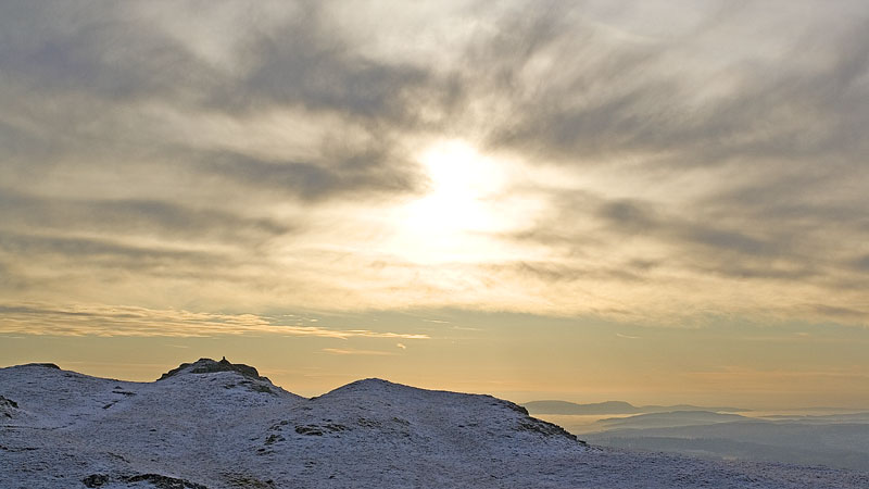
Inversion conditions were expected for the next couple of days and the cold fog was down on the M6, but it was only a thin layer, and as I climbed the old quarry track to Lingmoor Fell it was soon left behind as a diffuse scattering of mist below. As soon as I emerged into sunshine I felt very warm in the calm air, even above the snow line, similar to the freakish conditions in February earlier this year. The rocks were covered in a microscopically thin layer of ice which made the short scrambly bits on the descent quite a mini adventure, and I wondered about the ground conditions on the high peaks.
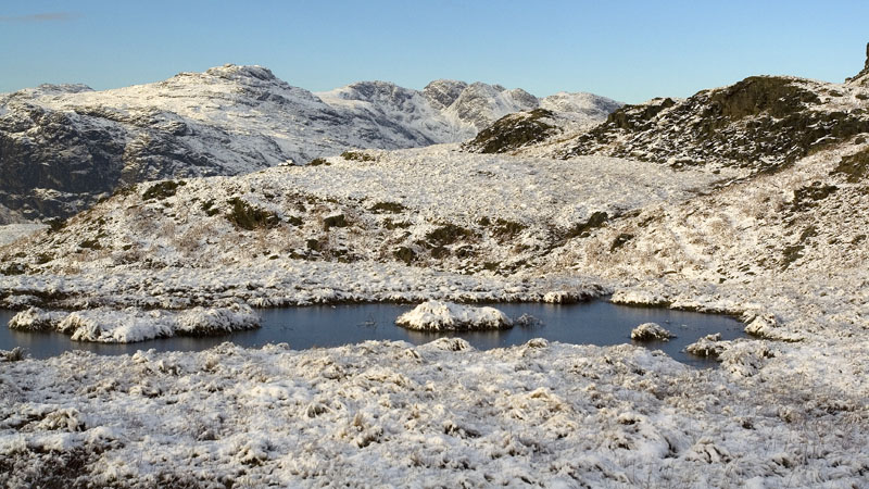
Arriving at the pass road below Side Pike, I walked down into Langdale and took the main path along Mickleden: this would give me a choice of routes at the valley head between Esk Hause and the Stake Pass depending on the conditions and the time. It was 13 years ago when we were last in this valley and I couldn't remember much about this path, but I made good time on this pleasant track admiring the view upwards to Pike of Stickle while the approaching valley head was in deep shadow.
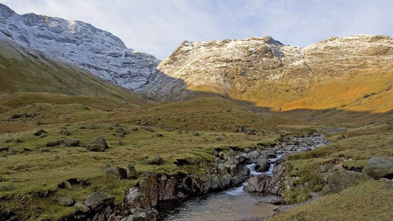
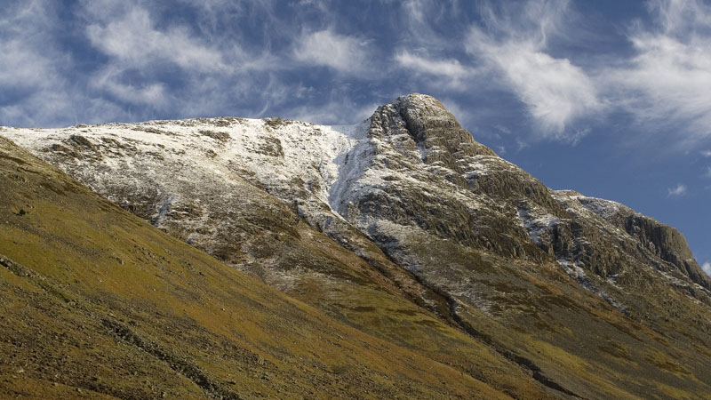
As soon as the shadow of Bow Fell claimed the sun, the temperature dropped in an instant and patchy ice became more widespread as I reached the footbridge at the confluence of roaring gills at the valley head. I remembered that the Rossett Gill path was horribly eroded on our last visit but I saw the start of a pitched path: ah yes, they will surely have pitched it all the way up in theme park fashion if recent observations in the LDNP are true to form, and so they had.
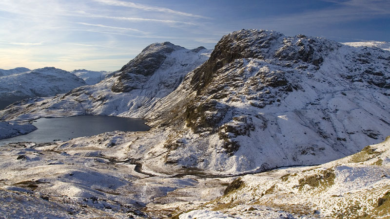
The line of steps follows the wide zigzag shown on the map rather than the straight-up no-messing route, and after a lot of contours and dark icy crags the path emerges into sunlight further on above Angle Tarn, looking black against the snowy cliffs and presenting an almost monochrome picture from its cold dark shore .
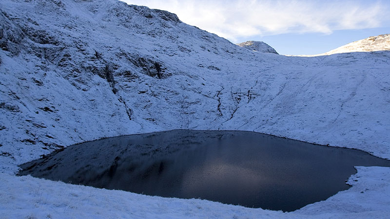
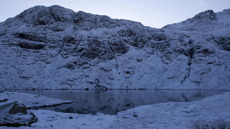
Gingerly crossing the snow covered stepping stones over the outflow stream, I started the very warm climb up to Esk Hause. I passed a few walkers making their descent and looking cheerful but a little bemused to see me plodding upwards on the crunchy snow, but as usual there were a couple whose jaws seemed to drop into a dirty look and silence as I said Hello - well never mind, I was enjoying the day. At Esk Hause the views suddenly appeared in breathtaking clarity: in the calm sunshine this was marvellous stuff and I decided to ascend to a familiar pitch on Allen Crags, a superb viewpoint.
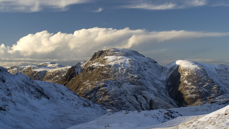
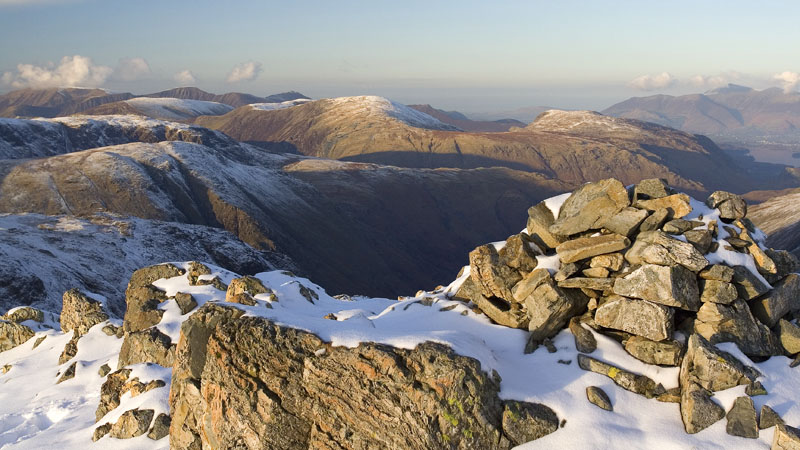
Mindful of the speed of sunset in winter, I wanted to make sure I was pitched and ready: I would have to locate the pitch and clear the excess snow first, and this was the first snowbound venture for the TN LaserComp tent. All went well and the flysheet was veneered with frost within minutes, later that evening the inner would be frostbound as well - this type of tent can never be as well ventilated as our Voyager and it must be expected in cold weather.
Well wrapped in a down jacket I stood at the cairn until well after sunset, and I could still make out the black matchstick figures against the snow of quite a few walkers descending from Calf Cove towards Esk Hause.
After a crystal clear night and awesome views of the Milky Way, the headtorch view of the tent from my sleeping bag resembled a freezer cabinet. My Asolo Fugitive winter boots (lighter than the summer boots of most people!) had frozen as hard as bricks and I could barely get them on: I lit the stove on a low flame and thawed off the caked snow and ice until they were pliable, and it worked a treat. There is something about that ultrathin material of the LaserComp flysheet that perfectly drapes over everything it touches and maximises contact, and when covered in dense frost - which feels much colder than ice - it drained the heat from my hands instantly. After a struggle to pack the frozen mess into its equally cold and slippery bag, my hands were completely numb and I couldn't even pick up the camera safely let alone operate it. A few minutes with hands inside pockets gave me enough feeling to put on my pack and start walking.
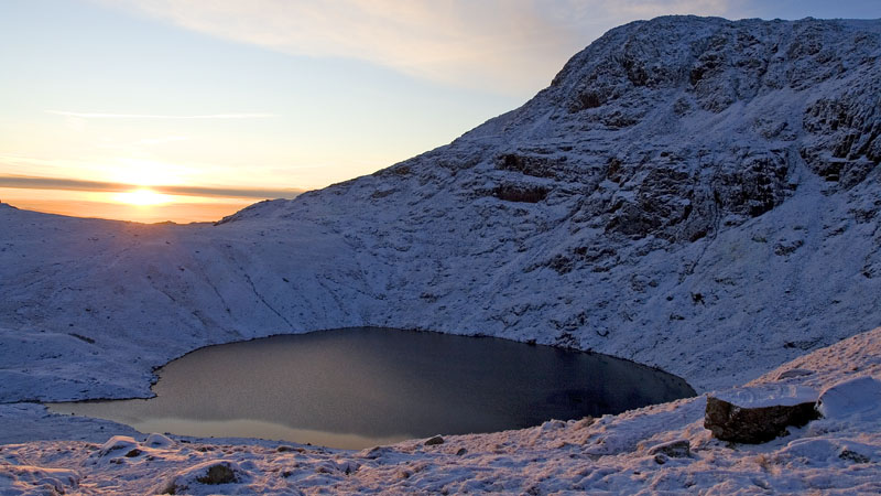
I warmed up quite quickly on the descent back to Angle Tarn, capturing a pleasing view of the snowy scene, and lower down there was a grand view of the tarn with the sun in the same frame, an unusual combination.
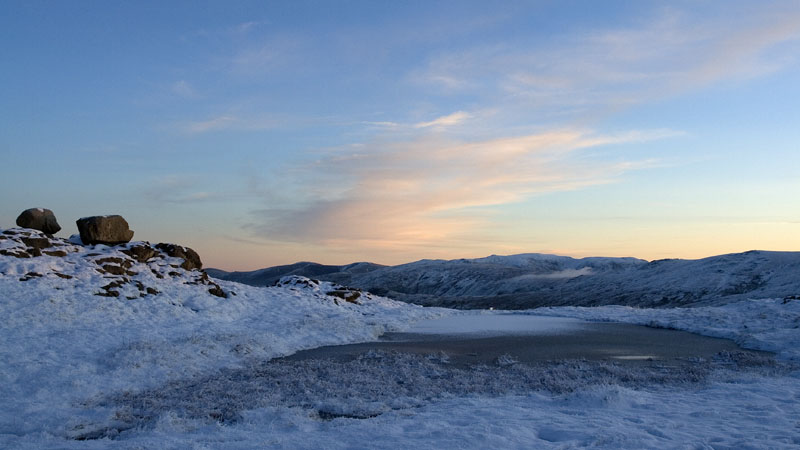
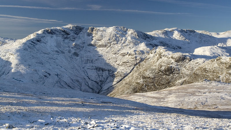
The snow and ice perversely made the crossing of Martcrag Moor easier and quicker than usual: the boggy bits were sufficiently frozen to take my weight and I could stride out on the snowy grass instead of negotiating the peaty gullies. There were grand clear snowy views back to Bow Fell, and the tarn on Thunacar Knott always looks striking in winter.
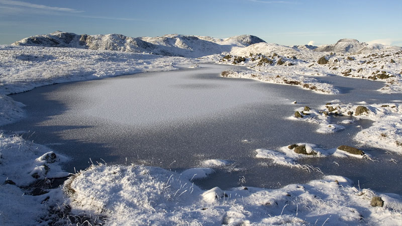
Onward to Sergeant Man and the Blea Rigg ridge. The initial descent presented no problems with the snow and ice and the ridge is a joy to walk, though the jumbled terrain needs careful navigation in mist. None of that today though, the clarity was extraordinary and the view extended beyond the Yorkshire peaks to the SE. Closer to hand I had a great view of Stickle Tarn and the Langdale Pikes, and the small tarns and pools were frozen in attractive patterns.
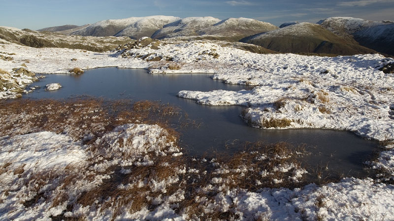
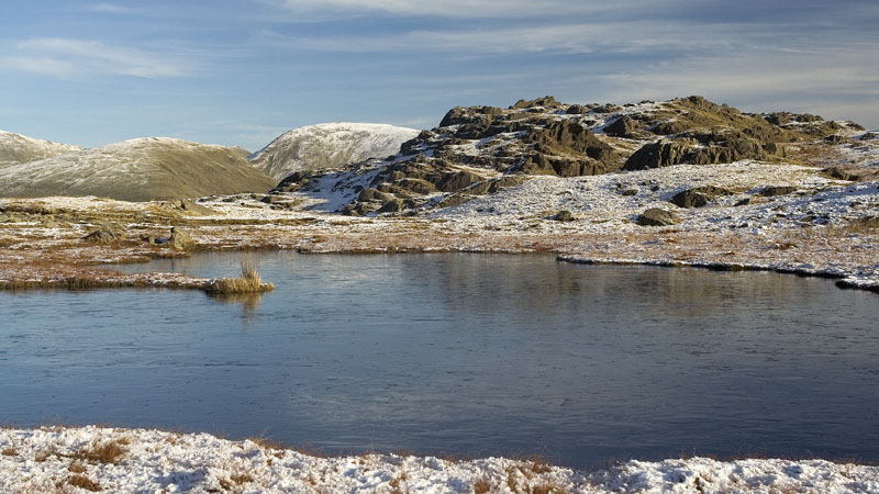
The SE end of the ridge is a maze of paths and smooth grassy tracks amid numerous hillocks and rocky tors, another area where we have never been the same way twice, but all the tracks at the far end lead down to the vicinity of Elterwater. Here below the snowline it was like a warm Spring Sunday and many strollers were out enjoying these low hills, while every feasible parking spot was occupied (and some not so feasible!).