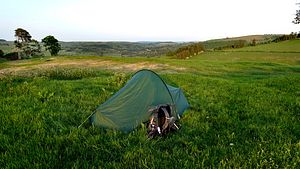
 An experimental trek to test my capabilities for moderate long distance backpacking using the intro section of the Glyndwr’s Way (GW) national trail.
I’ve backpacked a few of the trails as “fast-and-light” trips, but they were easy and, apart from my Hadrian's Wall trek, they were quite a long time ago: I wanted to test how I would fare now on a moderate trail maintaining the same pace, or reasonably close to it, and carrying about the same loads. To complicate matters there were impending rail strikes that would determine when decisions had to be made. The GW intro from Knighton was a good test candidate, often rising and falling as it weaves its way through the hilly landscape in the heart of Wales.
Making heavy work of the ascents, the result was apparent quite quickly: no way could I sustain this pace on this grade of route with this weight. I just managed the first planned pitch ok, but it was later than expected and my legs really knew about it. The worryingly tiring ascents were sapping the enjoyment from the walk. The next morning was the last day before the rail disruption and I had my definitive answer, I made the decision to abort and caught the bus at Llanbadarn Fynydd to Newtown.
That morning another final decision was made: after a particularly frustrating battle with the pitch, that much loved hated Laser Competition tent was destined for the bin when I landed home. Our long abusive relationship ends – now. Next time stealth is required it will be my Exogen despite the higher weight.
GW is well waymarked here and mainly follows farm tracks, field paths and narrow lanes on this section. This is a trek of broad general views over rolling hills and I took only a few photos. Despite being a national trail, I didn’t see another person for the entire walk, even on the lovely Garth Hill woodland paths on the outskirts of Knighton.
Full report & photos
 A 2-day circuit of Cwm Eigiau and the northernmost Carneddau hills, from Dolgarrog on the west side of the Conwy valley to Llandudno Junction station.
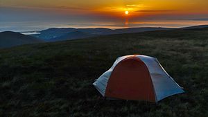 A curtailed hike of the western ridge of the Tarren hills, culminating at Tarrenhendre, descending via the Dolgoch Falls and climbing around Craig yr Aderyn to Llanllwyda.
 A few photos from a 2-day walk of the Mersey Valley Timberland Trail (MVTT), a route of ~21m (~34km) from Runcorn Hill to Oughtrington near Lymm, extended to start at Runcorn station and continue from Oughtrington to Altrincham.
 Some photos from a single day walk of the Goyt Way (GW), a route of ~10m (16km) from Etherow visitor centre in Compstall to Whaley Bridge, extended to start at Godley station with an ascent of Werneth Low with its War Memorial and viewpoint. The extension also includes the western part of Etherow Country Park.
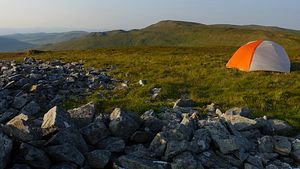 A 3-day central route through the Pumlumon hills of mid Wales, traversing the mountain summits of Y Garn and Pumlumon, exploring Cwm Rheidol and the remote valley of Hyddgen and finally picking up Glyndwr's Way through the northern hills for a descent to Machynlleth. A large proportion of the route is on good paths and tracks with only a very brief amount of rough terrain.
 A few photos from a single day walk of the Wetlands and Waterways Loop (WWL) route that, according to
 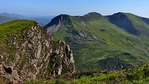 A superb 3-day extended mountain traverse of the Nantlle ridge, including the outliers of Moel Tryfan and Mynydd Mawr to the north and Craig-y-garn to the south.
 An experimental trek to test my capabilities for moderate long distance backpacking using the intro section of the Glyndwr’s Way (GW) national trail.
 A two day trek taking in the high country north of the upper Dee and a new crossing route to a southerly approach to the north eastern Arenigs.
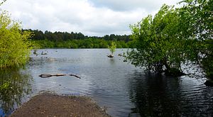 A few photos from a single day walk of the Delamere Way (DW) waymarked trail that runs south from Frodsham, east through the Delamere Forest and northwards through Cheshire countryside to Stockton Heath on the southern outskirts of Warrington.