| OS Route Map → | GPX Route file → |
Date: 17 Oct 2003
Start / Finish: A small pull-in on the lane S of Llyn Celyn, at the start of the surfaced track at 845396. A larger parking area is on the route around a mile to the west of this at the old quarry.
Map: Outdoor Leisure 18 Harlech & Bala.
| Day 1 | Arenig Fawr & Moel Llyfnant | 6 miles / 2680 feet (9.7km / 816m) |
| Day 2 | Foel Boeth & Gallt y Daren | 9 miles / 930 feet (14.5km / 283m) |
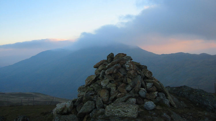
A route that we had done before as a day walk, but expanded a little into a leisurely 1½ day backpack.
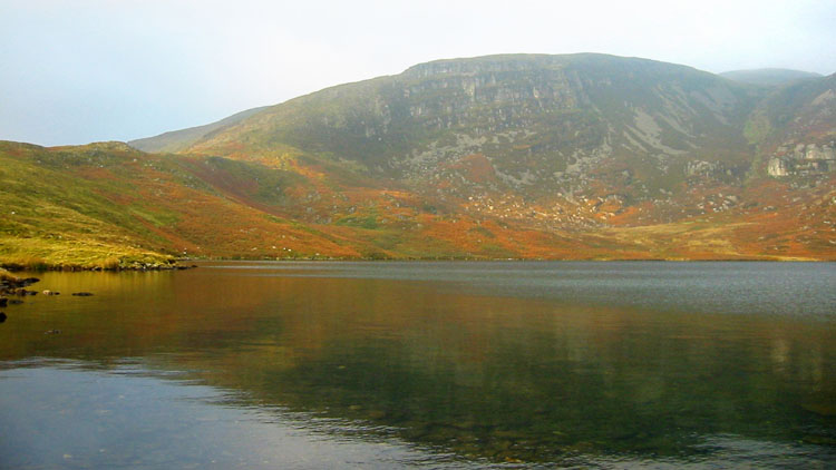
The track gives an easy start and curves around to Llyn Arenig Fawr cradled by the lower western cliffs. Passing through a gate and crossing the outflow, a path climbs westwards with good views of the lake below to arrive at a fence, then ascends a little further to arrive at a second. Crossing this fence, the path levels out and bends a little R crossing a wet grassy area then bends L and starts to ascend. At this point we find the easiest way by far is to leave it and climb directly R (NW), straight up the easy grass slopes to reach the ridge fence not far above. Turning L along the fence, it arrives at a ruined cross fence which is now just a line of posts. Turning L again the posts lead directly to the summit trig point.
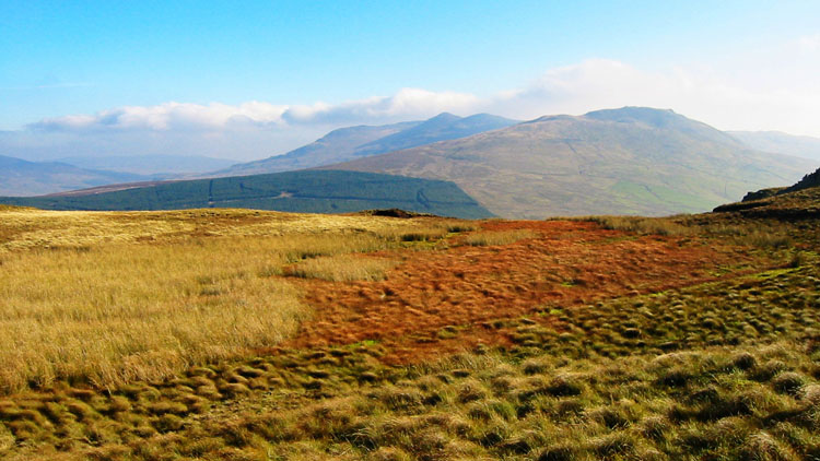
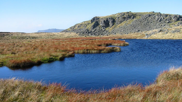
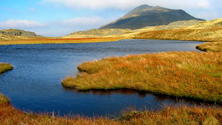
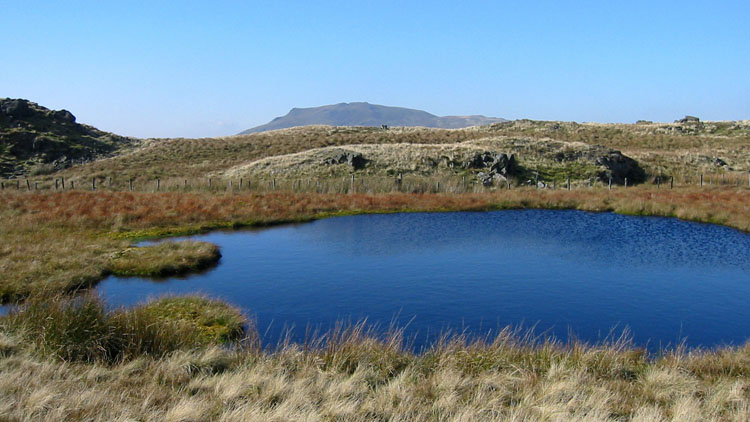
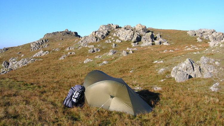
A short walk leads to the S top where the collection of tarns on the S ridge can be seen. Descending S first over rocks then grass to the col, the minor cairned S ridge top is a short climb left. A path leads S on the R of the broad ridge, a very attractive area of lakes and knolls, and finally arrives at a fence corner at 824349. Descending WSW to the fence junction, we crossed over and collected water at a tiny stream a little further down then walked N up the valley, where we found a ladder stile on the line of the public footpath. A grassy ascent NW from here to the ridge and a brief walk S gave us our first pitch on Moel Llyfnant, just below the summit.
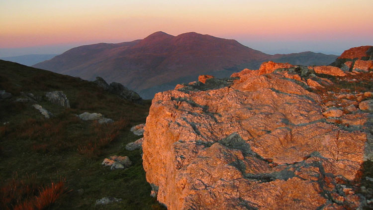
Descending NW along the fence then SW to the forest corner, there is a stile hidden by reeds just to the S. Fording the stream, an easy climb over grass leads to the two close tops of Foel Boeth and Gallt y Daren. A thin path, rather boggy in places, follows the fence along the ridge over Moel y Slates to the forest corner. We followed the edge round to a gate and an access track, not shown on the map, that leads down through the felled area of Penllyn forest to the dismantled railway track, with Llyn Tryweryn in view. The track has now been established as a permissive path and the footbridges are in place. It leads all the way back to the pull-in, with one brief exit to the road to bypass a house and garden at Pant-yr-Hedydd.
