
| OS Route Map → | GPX Route file → |
Date: 26 Apr 2011
Start / Finish: Kinlochleven. Car park on Wades Road.
Maps: Explorer 384 Glen Coe & Glen Etive + Explorer 385: Rannoch Moor & Ben Alder.
| Day 1 | Loch Eilde Mòr & Meall na Cruaidhe | 4.5miles / 2143 feet (7.2km / 653m) |
| Day 2 | Loch Chiarain, Loch Treig & Loch Ossian | 17.0miles / 1856 feet (27.4km / 565m) |
| Day 3 | Rannoch, Loch Laidon & Lorn | 14.9miles / 1241 feet (24.0km / 378m) |
| Day 4 | Allt Chailleach & Devil's Staircase | 9.9miles / 1490 feet (15.9km / 454m) |
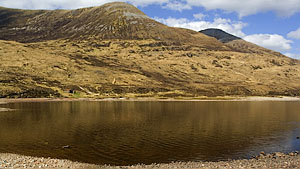
A varied low-to-mid level trek through the hills and lochs encircling Blackwater between Kinlochleven and Rannoch, mainly on good paths and tracks.
The northern section ascends in the shadow of the southern Mamore mountains to Loch Eilde Mòr and the wild landscape north of Blackwater, descending via Loch Chiarain to Loch Treig.
The eastern section heads over to Loch Ossian and ascends to join the old Road to the Isles, a good track traversing the flanks of Carn Dearg to Loch Eigheach and Rannoch.
The southern part follows the footpath from Rannoch to Glencoe, ascending through the forest above Loch Laidon and traversing the lower flanks of the Black Corries with views over the wilderness of Lorn.
The westerly return to Kinlochleven uses the fragment of the West Highland Way (WHW) that ascends the Devil's Staircase for a fine view of the Mamores from the old military road around the flanks of the hills above the River Leven.
Easter holiday week would not be our choice for the long journey to Scotland for a backpack, but the forecast was too good to miss. The warm dry spell had already brought out the crowds in many areas, but on this route we saw only a handful of people in the first two days and none at all on the third. Only when we met the WHW at Glencoe did they appear by the score, but we expected that!.
We arrived in Kinlochleven after a long tiring drive with more than a little apprehension about parking at the foot of the highly popular Mamores: lunchtime in a warm sunny Easter week may well see the car park overflowing and every bit of free road occupied. Surprisingly it was less than half-full and we kitted up with some relief.
The map shows a jumble of paths in the woodland immediately north of the car park. Starting at the signed path to Grey Mares Tail waterfall alongside the adjacent church, a number of colour coded walks are waymarked: from the T-junction a short way along the path, the route to Loch Eilde Mòr turns right on the red trail. A couple of turns near the start need to be carefully monitored on the ascent, thereafter it is a straightforward climb through the trees to the open hillside where a grand view opens up down the length of Loch Leven flanked by the Pap of Glencoe and Beinn na Caillich.
The towering shapes of the southern Mamores dominate higher up and the path levels out at the saddle at An Cumhann.
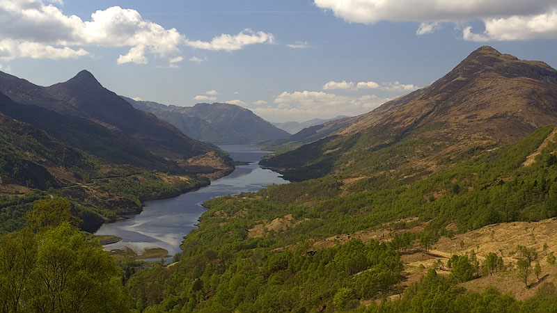
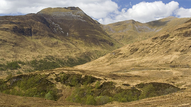
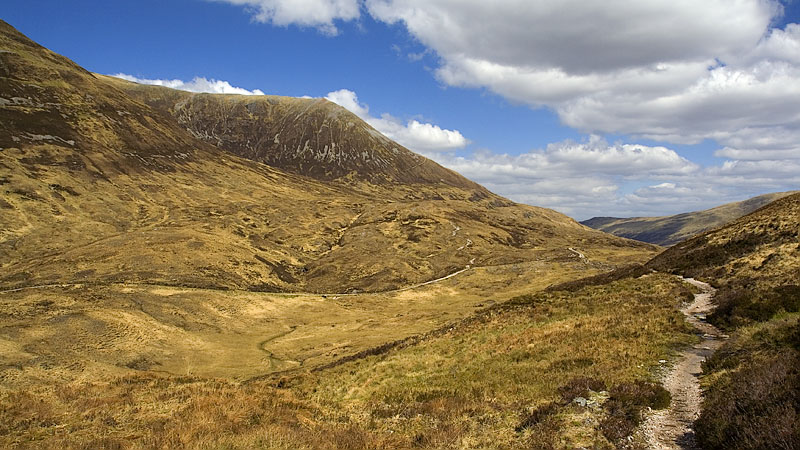
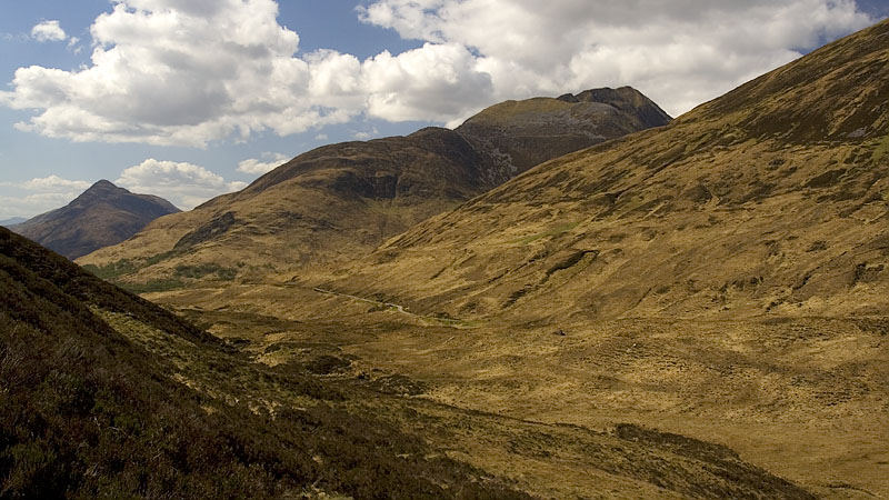
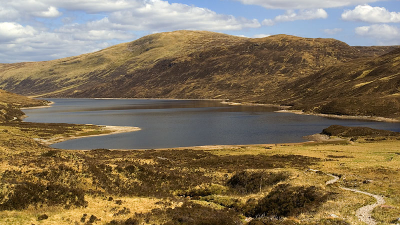
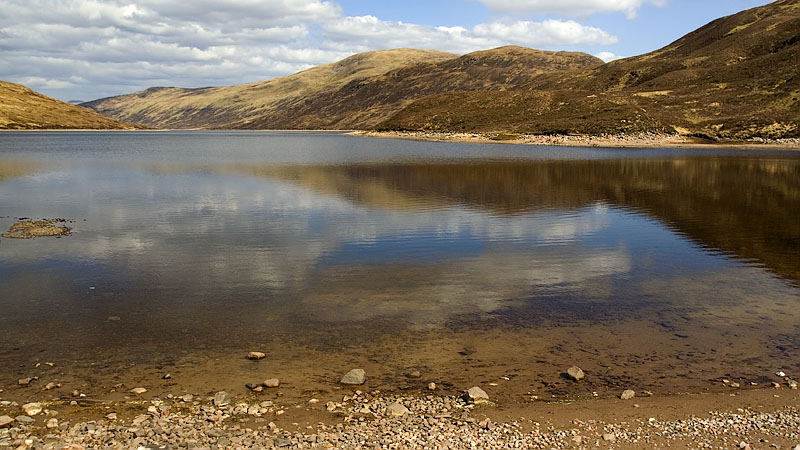
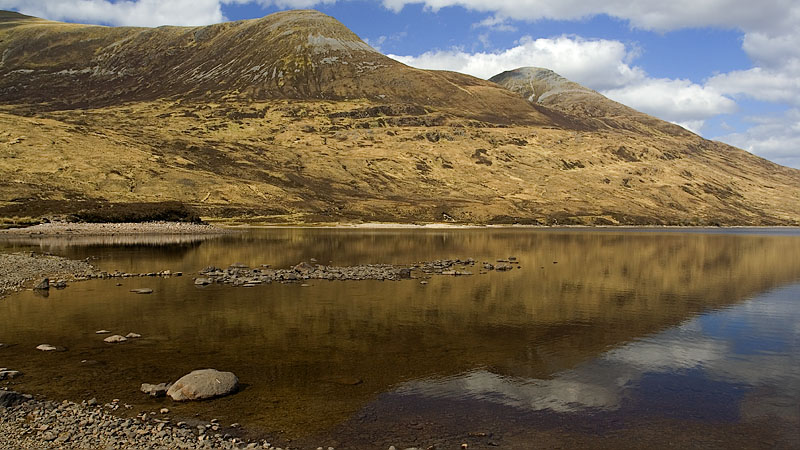
Loch Eilde Mòr soon comes into view, one of those heartening appearances that seem to encapsulate the essence of wild backpacking country. Walking down to the shore, the shallow water was bubbling with fish fry darting about and leaping above the surface in the warm sunshine, a magical spot to potter around a while and soak up the atmosphere and views of the surrounding mountains.
We crossed the outflow at the little dam and picked up the path that ascends gradually eastwards into the ravine of the Allt Riabhach Beag and around the flank of Meall Beag onto Meall na Cruaidhe, revealing the first view of the Glencoe mountains on the far side of Blackwater. The striking outline of Buachaille Etive Mòr would appear in most of the views for the rest of the circuit.
We called it a day here and made an excellent pitch near the tiny lochans at the top.
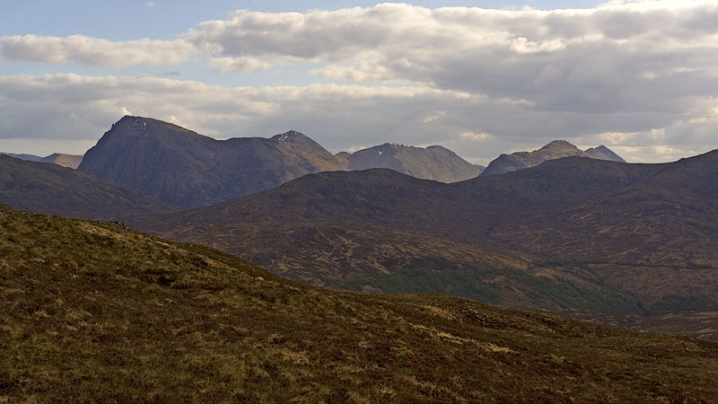
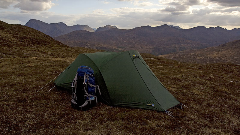
A cold night brought clear skies and crisp vistas as we resumed the path eastwards down the flank of the hill, Blackwater coming into view in the low orange light across the open moor. Crossing the Allt Tom Ailein, a short way beyond the path almost disappears briefly in an area of wet ground but quickly asserts itself again near a prominent angular stone block with a solitary small tree growing out of a crevice.
Soon our path merged with the path from Blackwater and continued to Loch Chiarain, another fine location with a remote air about it and a bothy at the southern end.
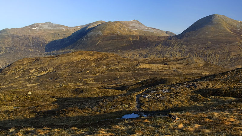
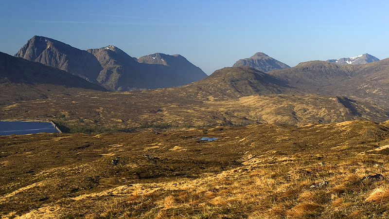
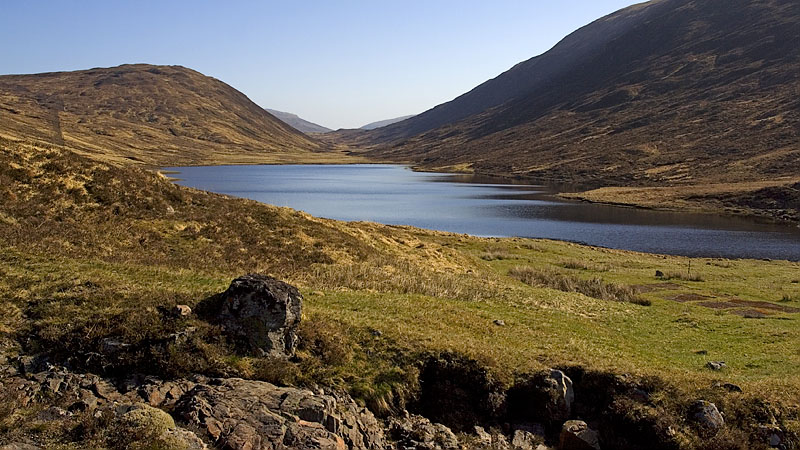
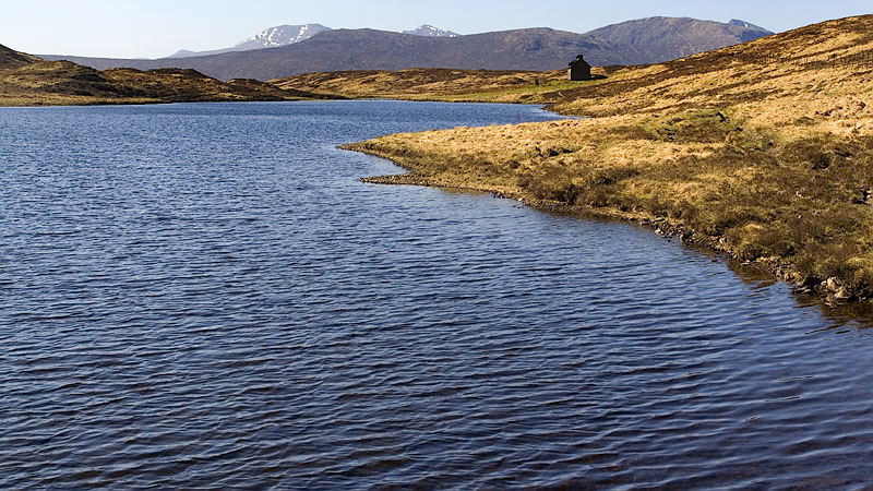
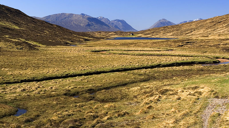
The path continues by the shore of the loch and along the flat plain surrounding the snaking course of the Allt Feith Chiarain. Looking back, the bothy seems superbly located with the mountainous skyline as a backdrop.
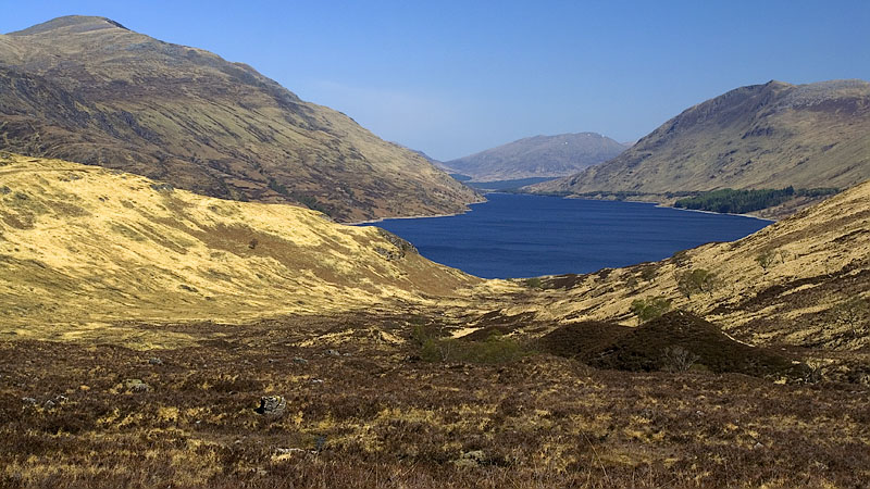
The path undulates at some length below the slopes of Meall a' Bhainne until the grand sight of Loch Treig comes into view below and the descent into Gleann Iolairean begins. Near the foot, the snow-flecked tops of the Nevis range peeped out to the west along the line of Glen Nevis. The whole area around the loch was deserted save for one fisherman, a real surprise considering its location at the end of Glen Nevis and proximity to Corrour station, a popular focal point for backpackers and hikers doing long linear walks.
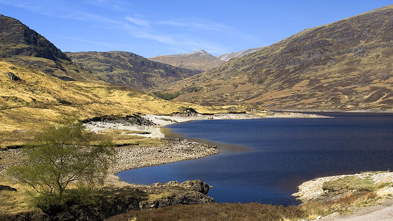
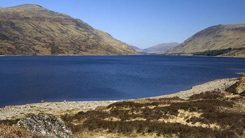
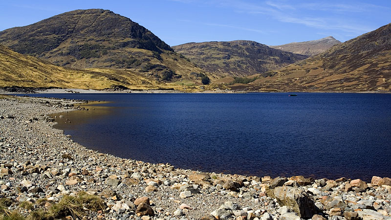
We took the track ascending out SE under the railway pass and onto the lower flank of Beinn na Lap to Loch Ossian, giving a view over the moor to Corrour station. The main ford shown on our mapping is actually a bridge and a short way further the track from the station comes in on the right.
At a track junction near the hostel at the southern end of the loch we took the old Road to the Isles track, ascending gradually around the lower slopes of Meall na Lice to the forest corner and the Peter Trowell memorial stone with a fine view back over the water.
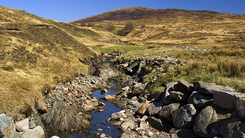
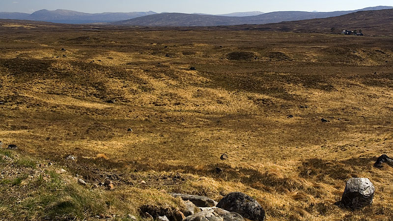
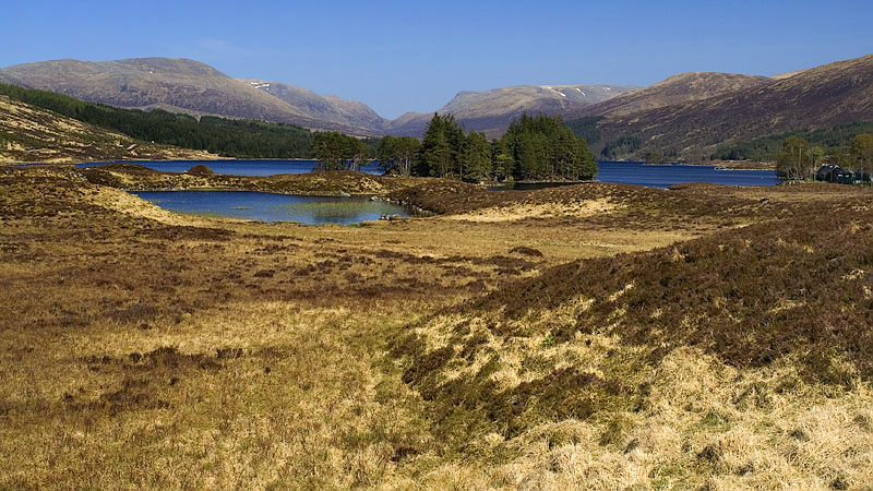
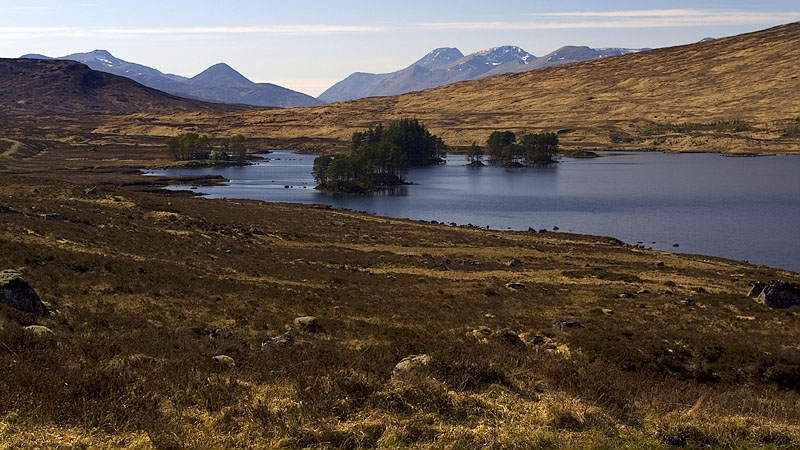
The track ascends a little and begins its long traverse along the flank of Carn Dearg, passing the ruins of Corrour Old Lodge while Blackwater reappears across the vast expanse of moor. The gradual descent finally arrives and the distant foreshortened Lochan a' Chlaidheimh comes into view with Loch Laidon in the background.
Nearing the trees by the Allt Eigheach we called a halt to this long day and made a good pitch in the lengthening shadows.
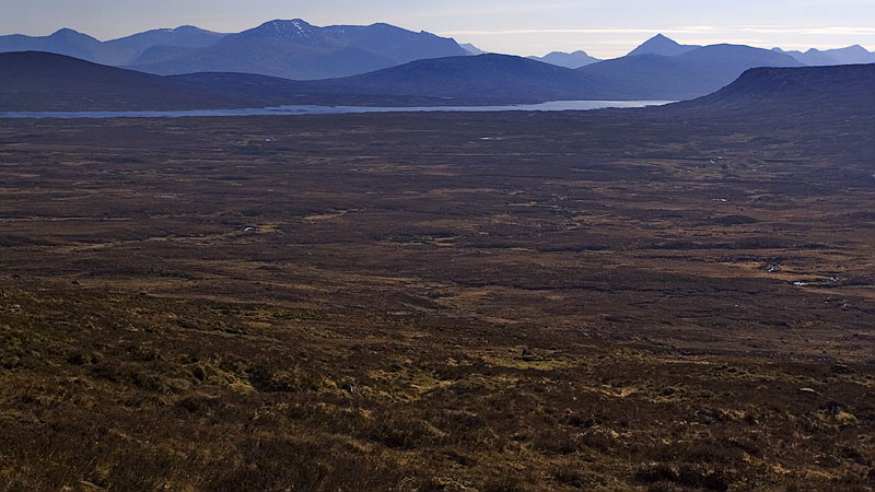
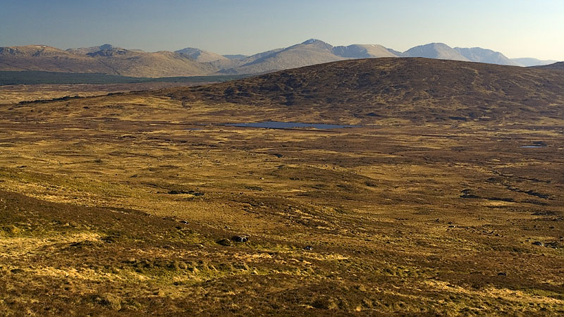
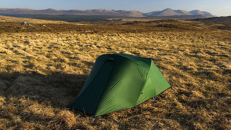
Dawn brought a familiar chorus to us from past backpacks in northern England: the cackling of grouse, including a very vocal bird right outside the tent. The sun was shining here but ominous grey cloud abounded in the distance elsewhere as we descended around the forest corner to follow the Allt Eigheach, a lovely morning stroll with the low sunlight against a grey backdrop.
The track crosses a footbridge and finally meets the B846 at Loch Eigheach.
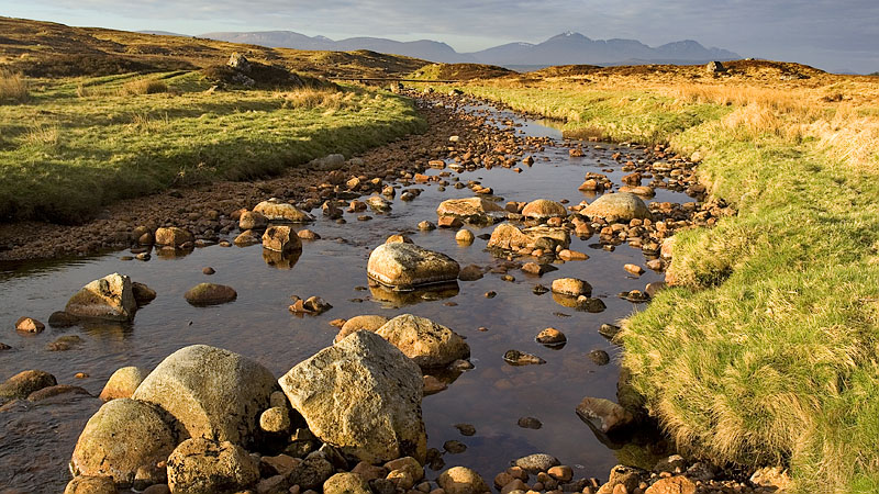
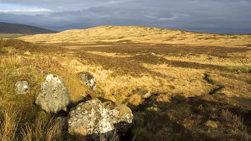
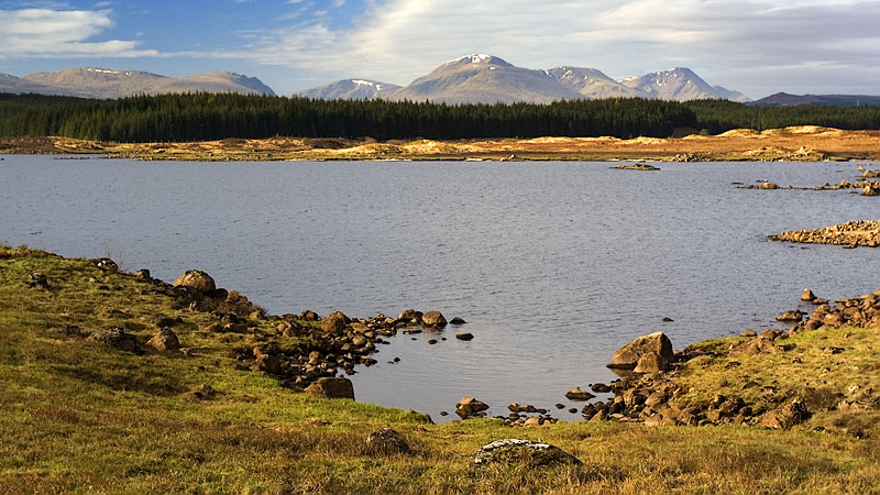
A short hike up the road brought us to Rannoch station and a notice by the railway line warning of a penalty fine for failing to close a nonexistent gate. A short way further a fingerpost signed 'Footpath to Glencoe' points to the forestry track ascending gently through the trees above Loch Laidon, easy walking but largely enclosed with no views of the landscape or loch. Progress is swift however and we soon reached the forest boundary and the end of the track which abruptly deposited us in a boggy area with no clear path initially.
From here a long line of wooden pylons marches west along the hillside and there is a traceable path that roughly follows them for about 2½ miles, mainly left but occasionally right of the line, and is evidently not often walked. It's quite exasperating too with numerous microbogs to circumvent, making it impossible to walk in a steady rhythm for more than a minute at a time. However the views over the Rannoch Moor and Lorn wilderness are extensive, although they were muted under grey high cloud today which was thick enough to bring a little light rain for a while.
Things improved greatly when the path joined a shooter's track and the slowly moving cloud finally allowed the sun to shine, just in time to produce excellent reflections in a small lochan near Tom dà Cloiche.
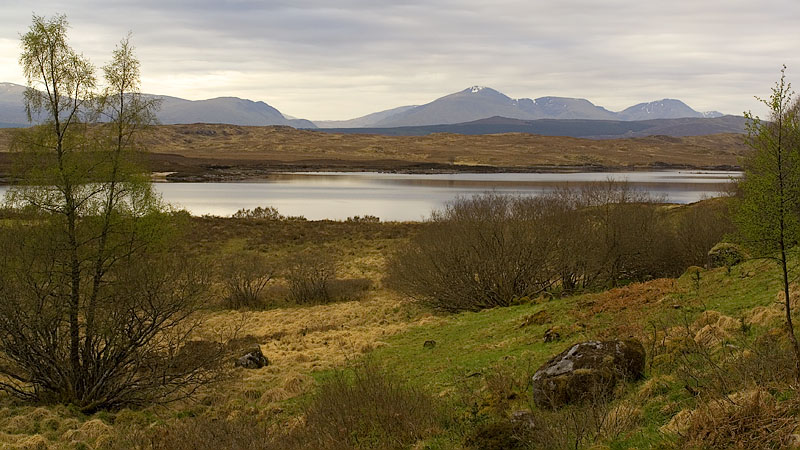
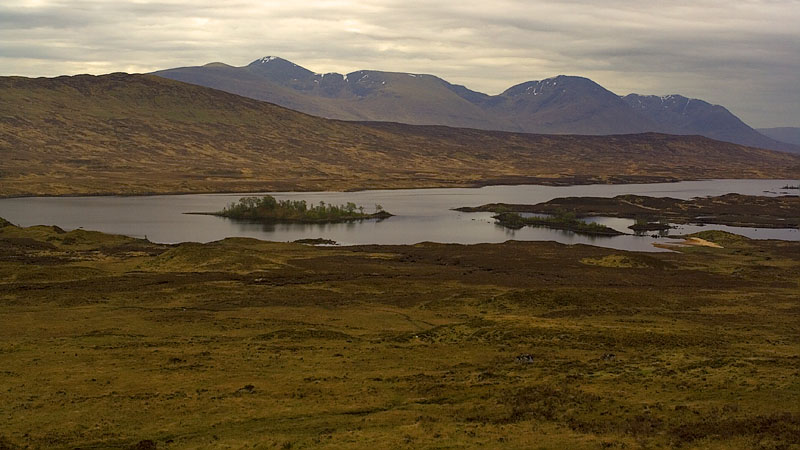
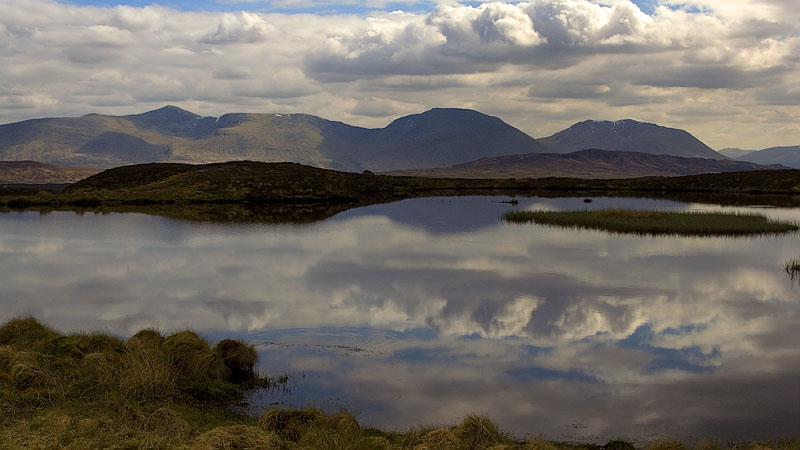
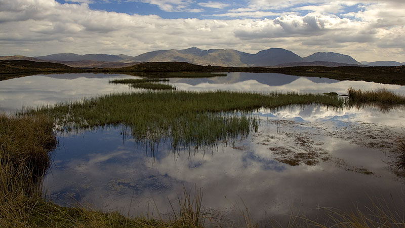
The good track continues to Black Corries Lodge, passing around the northern perimeter of the surrounding trees, and passing a second plantation to join the Allt Chailleach. The view over the wilderness of Lorn and its lochans had brightened considerably.
A little further down we made our final pitch with the iconic cone of Buachaille Etive Mòr dominating the background view to the west.
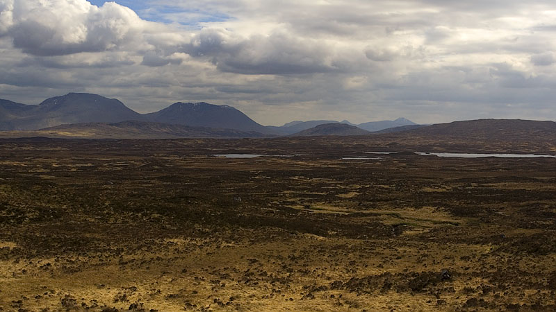
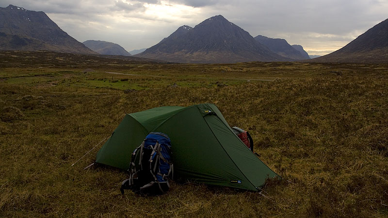
All the cloud cleared early in the night to unveil a superb starry sky and prominent Milky Way, leaving a frost on the tent for a clear dawn and a discordant mixture of skylark song and staccato grouse cackle.
The early morning stroll along the Allt Chailleach in the calm cool air was a delightful start, the early low angled warm light again showing the landscape to best advantage. Kings House had an assortment of tents pitched in the grounds and we saw one bivvy pitched alongside the lane leading to the A82.
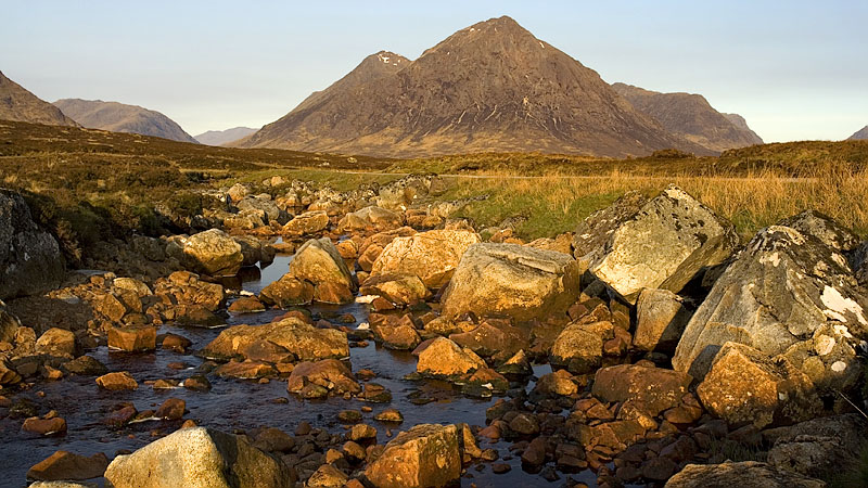
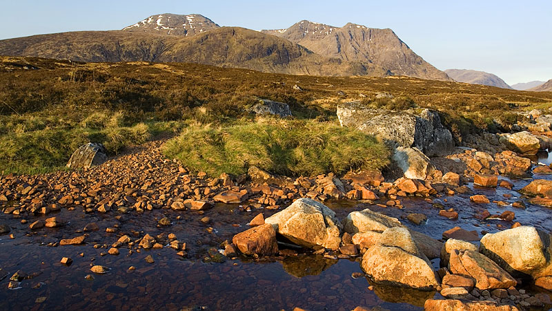
Walking along the WHW as it parallels the A82 opposite the mighty bastion of Stob Dearg, the car park and verges at the far end were already packed and a disjointed column of hikers were setting off for the ascent. On our side, the Devil's Staircase route was empty at first but soon a host of people appeared from nowhere.
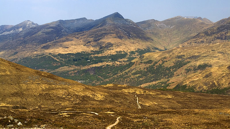
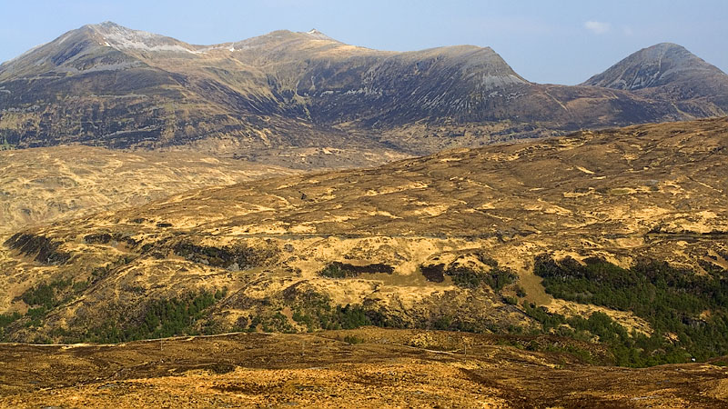
This section to Kinlochleven is understandably popular in both directions: the view back over Buachaille Etive Mòr and nearby mountains is splendid, as is the view to the Mamores from the traverse and gradual descent along the high mountainside above the River Leven where Blackwater reappears for the final time.
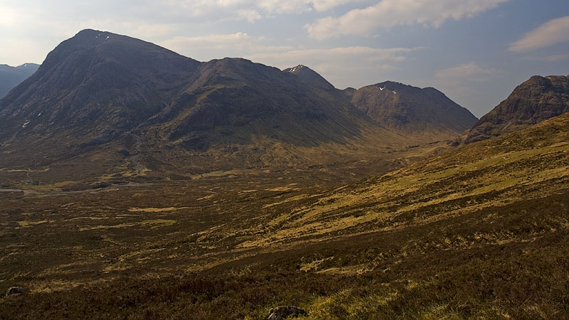
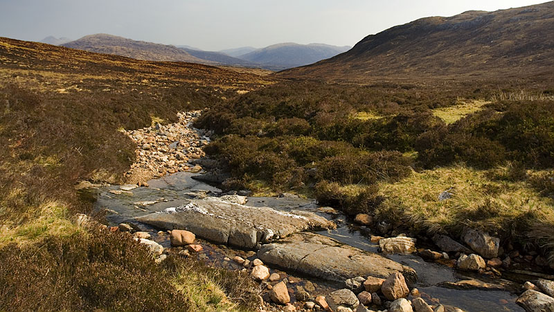
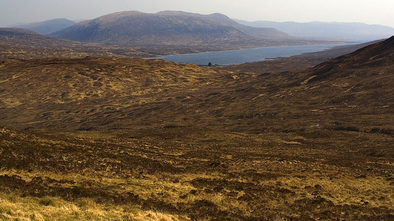
Descending through the woodland into Kinlochleven, the whole area was absolutely heaving and we soon discovered the reason: a motorcycle trials event had started. The multitude of walkers mixed uneasily with the many scrambling bikes chugging around the woodland trails above the village.
The WHW crosses the river and heads along Wades Road towards the car park.