

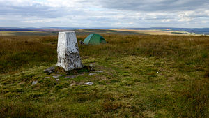
 A 2-day circuit around the moors and reservoirs to the north-west of Marsden.
The outward section initially follows the Huddersfield canal, with an option of a parallel woodland track, to Standedge Tunnel Visitor Centre and Tunnel End nature reserve to reach Close Gate Bridge, an old arched packhorse bridge. It ascends into the March Haigh moorland via Willikay Clough to join the Pennine Way (PW) over White Hill, the highest point of the route, to cross the M62 where it leaves the PW to reach Green Withens reservoir and ascend to the western side of Rishworth Moor.
The return section descends the eastern side of Rishworth Moor to recross the M62 via Booth Wood reservoir and traverses the high ground via Deanhead and Cupwith reservoirs to Slaithwaite Moor for a final descent via Marsden Moor.
We encountered just a few walkers on most sections of this route, the exception being Rishworth Moor that was totally deserted. This windswept rough grassland seemed particularly bleak on this very blustery trip and there is also the small distraction of the distant traffic hum from the M62 which, though monotone and can easily be tuned out to a large degree, is still there in the background.
The Standedge Tunnel, Britain's longest, deepest and highest canal tunnel is another feat of Victorian manual engineering and carries the Huddersfield Narrow Canal. The Visitor Centre celebrates its history and organises narrowboat trips into its tight depths. The small but delightful nature reserve eliminates some road walking and exploring it all would make a good half-day out.
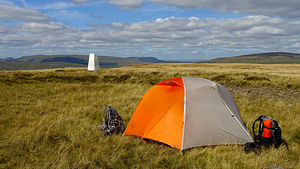 A relaxed 3-day route of the hills north of Ribblehead using stations on the Settle-Carlisle rail line.
 A backpack along the line of the south western Tarren Hills, based on an approach via a new 500m summit.
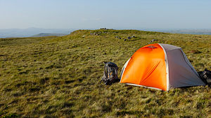 A 4-day eastern route through the Pumlumon hills of mid Wales.
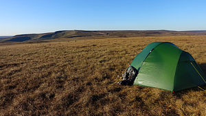 A 2-day backpack of the south-western tip of the Kinder area and around the western fringes of Bleaklow, visiting our last remaining unclimbed 500m Dewey top in the Dark Peak, culminating at Higher Shelf Stones and returning to Glossop via the Shelf Moor path.
 A single day training walk of the eastern half of the Etherow-Goyt Valley Way (EGW), a route that runs from the Longdendale Trail at Hadfield station on the western fringe of the Dark Peak to Vernon Park in Stockport, terminated today at Marple station.